Rate this trail

GR 10 DERIVACIÓN A ESTIVELLA

Promoter: Generalitat Valenciana

Certification status: Positive quality control

0 reviews

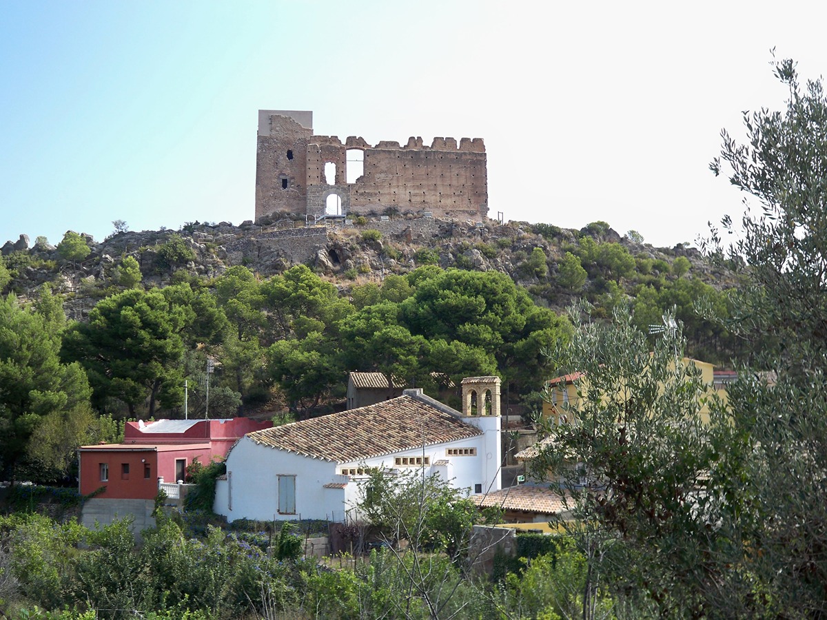
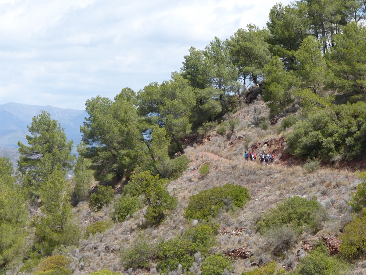
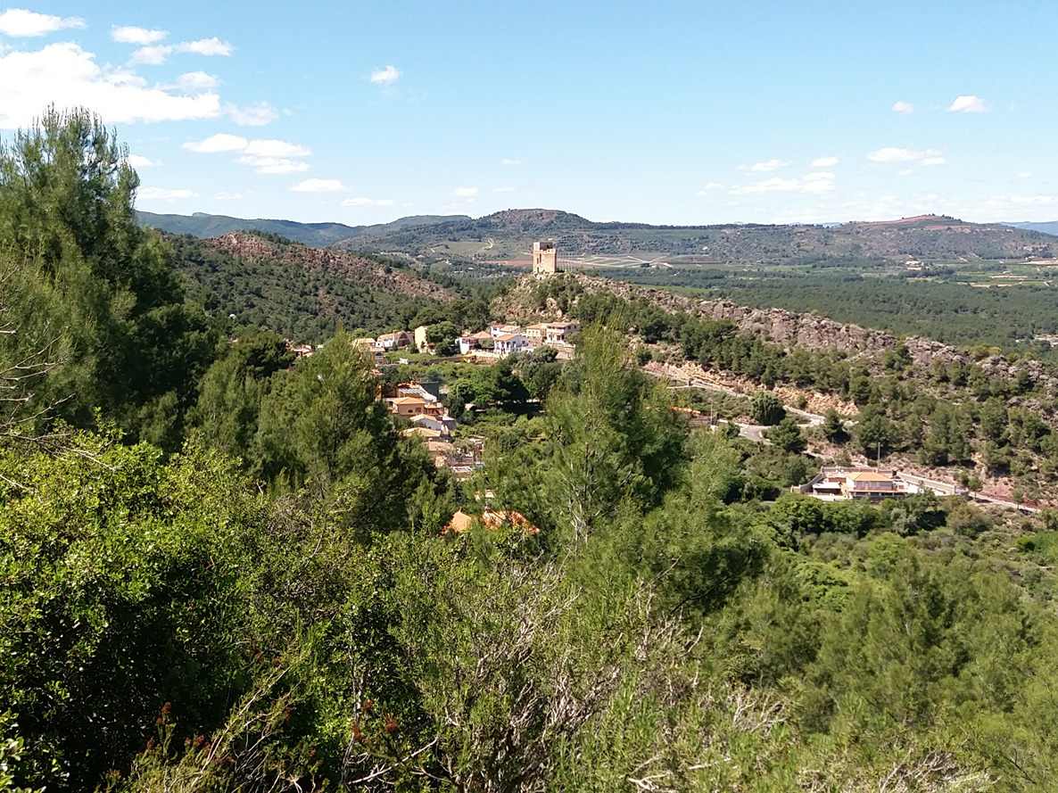
This spur trail follows the Beselga cattle track to the town of Estivella, where all kinds of services and public transport are available. This makes it very convenient for you to plan the start or end of your journey from this town in the region of Camp de Morvedre within Comunitat Valenciana.

Trail:
One way (point-to-point)
Technical data:
Length:
5,30 km
Estimated walking time:
01:40:00
Elevation gain:
15 m
Elevation loss:
420 m
MIDE ratings:
Level of natural risks:
1
Navigation on the trail:
2
Hiking difficulty:
2
Fitness level needed:
2

More information on Montaña Segura

Difficulty rating according to FEDME:
Unknown
Starting point:
Interest Tags:
Trail with environmental interes

Useful information:
Date of the act of registration in the Public Register:
22-05-2007
Date of the last Quality Control:
february de 2024
Reference municipality:
Province:
Valencia/València
Cartography IGN MTN25:
0668-3; 0668-4

Downloadable from the Catalogue of the IGN Map Library

See other trails of this promoter:
Protected Natural Spaces:

We advise you to look up the regulations and/or authorisations for using the trails in these conservation areas on the website of the Conselleria de Medio Ambiente, Agua, Infraestructuras y Territorio

  • Sierra Calderona (Natural Park)
  • Sierra Calderona (SIC - Site of Community Interest)
  • Sierra Calderona (SPAB - Special Protection Area for Birds)
Key points of the route:

Font de Barraix (spring) - PR-CV 369 and SL-CV 23 connection - Manantial de Beselga (spring) - Beselga - SL-CV 24 connection - Estivella

Route description (only available in Spanish)

El camino, siempre en descenso, parte de la fuente de Barraix por la pista de tierra dejando algunos diseminados. En unos minutos encontramos el enlace con el PR-CV 369 y SL-CV 23 que se desvían por un camino a la izquierda.

Seguimos en descenso siguiendo a trayectoria del barranco de la Carrasca. En un cruce, tomamos la senda de la izquierda que desciende hasta un pequeño collado donde cambiamos de vertiente y la pendiente se acentúa hasta llegar cerca del manantial de Beselga.

La senda se va ensanchando hasta convertirse en un cómodo camino. Entramos a la aldea de Beselga por la parte alta, junto al lavadero y una balsa de riego. En la plaza volvemos a enlazar con el SL-CV 23.

La derivación sigue la avenida de Barraix y la carretera a Estivella. A unos 400 metros está el enlace con el SL-CV 24. Seguimos hasta el cruce con el camino que conduce al Garbí para cruzar la autovía y seguir a la derecha. La carretera se estrecha en una especie de trinchera para cruzar las vías del tren y entrar en Estivella justo antes del puente nuevo.

Downloads:

Beware! Navigation devices may fail, batteries may run out of power and devices may break down. Do not use only electronic means to track your activities in the mountains; they must be used as a complement to the map and compass. Get some proper training and enjoy the mountains.

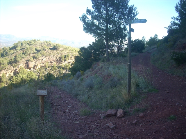
Other trails connecting with this trail