

 /
 /


GR 160 E11 ALZIRA - XÀTIVA
Promoter: Patronato Provincial de Turismo de València
Certification status: Positive quality control
0 reviews
This stage immerses you in the heart of the Mediterranean landscape. You will cross endless orange groves, ancient Arab irrigation canals, and traditional farmland. If you hike it in spring, the fragrance of orange blossom will accompany you throughout the entire route.
 CUSTODIEM
Main

GR 160 CAMINO DEL CID. COMUNITAT VALENCIANA
Promoter: Patronatos Provinciales de Turismo de Castellón y Valencia
Certification status: See stages
Reference municipality: Puebla de Arenoso
Length: 78,40 km
Estimated walking time: 22:00:00
Elevation gain: 2.315 m
Elevation loss: 2.590 m
(0)
Previos stage

GR 160 E10 ALMUSSAFES - ALZIRA
Promoter: Patronato Provincial de Turismo de València
Certification status: Positive quality control
Etapa número: 10
Reference municipality: Almussafes
Length: 19,70 km
Estimated walking time: 04:10:00
Elevation gain: 135 m
Elevation loss: 125 m
(0)
Next stage

GR 160 E12 XÀTIVA - ONTINYENT
Promoter: Patronato Provincial de Turismo de València
Certification status: Conditioned quality control
Etapa número: 12
Reference municipality: Xàtiva
Length: 33,40 km
Estimated walking time: 09:20:00
Elevation gain: 585 m
Elevation loss: 355 m
(0)
Other trails connecting with this trail
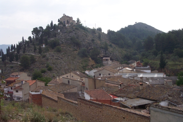
PR-CV 78 ELS PARATGES DE XÀTIVA
Promoter: Ayuntamiento de Xàtiva
Certification status: No quality controls
Reference municipality: Xàtiva
Length: 15,80 km
Estimated walking time: 04:55:00
Elevation gain: 470 m
Elevation loss: 470 m
(1)
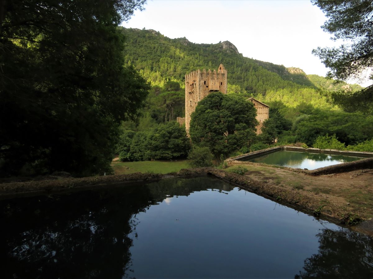
GR 236 E04 LA BARRACA D'AIGÜES VIVES - ALZIRA
Promoter: Ayuntamiento de Alzira
Certification status: No quality controls
Etapa número: 4
Reference municipality: La Barraca d'Aigües Vives
Length: 18,70 km
Estimated walking time: 06:05:00
Elevation gain: 640 m
Elevation loss: 695 m
(1)
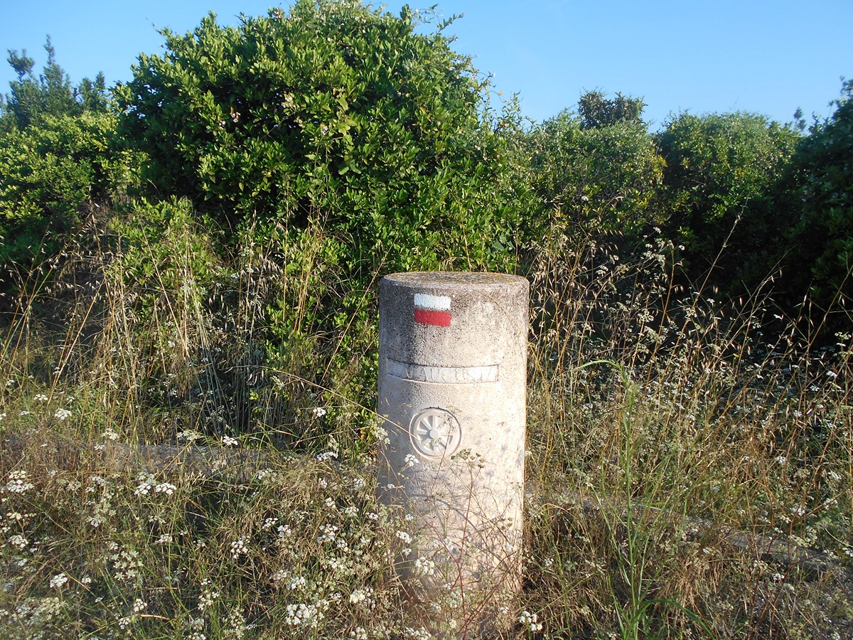
GR 239 E02 ALGEMESÍ - XÀTIVA
Promoter: Asociación de Amigos del Camino de Santiago
Certification status: Positive quality control
Etapa número: 2
Reference municipality: Algemesí
Length: 30,10 km
Estimated walking time: 06:20:00
Elevation gain: 190 m
Elevation loss: 85 m
(0)
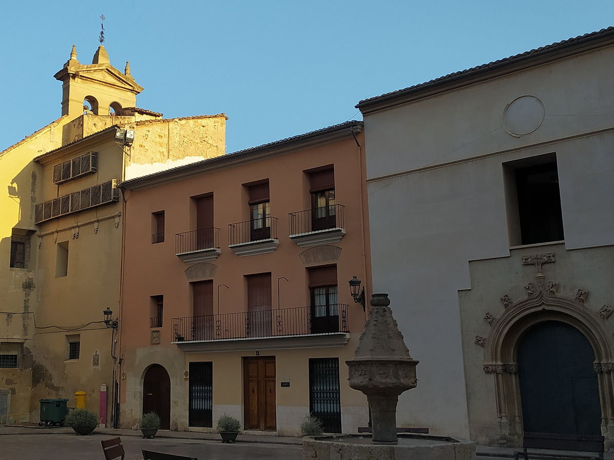
GR 239 E03 XÀTIVA - MOIXENT
Promoter: Asociación de Amigos del Camino de Santiago
Certification status: Positive quality control
Etapa número: 3
Reference municipality: Xàtiva
Length: 28,50 km
Estimated walking time: 06:30:00
Elevation gain: 490 m
Elevation loss: 255 m
(0)

PR-CV 454 SENDA HISTÓRICA PAISAJÍSTICA
Promoter: Ayuntamiento de l'Ènova
Certification status: Valid
Reference municipality: Ènova (l')
Length: 13,92 km
Estimated walking time: 04:30:00
Elevation gain: 290 m
Elevation loss: 290 m
(0)