Cambiar idioma a español / Cambiar idioma a english / Cambiar idioma a valencià

Rate this trail

GR 160 E12 XÀTIVA - ONTINYENT

Promoter: Patronato Provincial de Turismo de València

Certification status: Conditioned quality control

0 reviews

Following the inspection carried out by trail technicians, this trail has been declared of "limited adequacy" as a result of the faults detected in the signage. These include inadequate horizontal signs (paint markers) and/or vertical ones (trailheads and information boards) or lacking direction markers that do not provide sufficient information to properly follow the route. The builder of this trail has been informed of the situation.
For safety reasons and during maintenance work, it is advised to be extremely careful while taking this route. Furthermore, mountain sports entail risks associated with the activity itself and the environment where they take place, for which any person is fully liable. For this reason, hikes need to be planned properly and adequate training, equipment and sensible use of the trails are required.

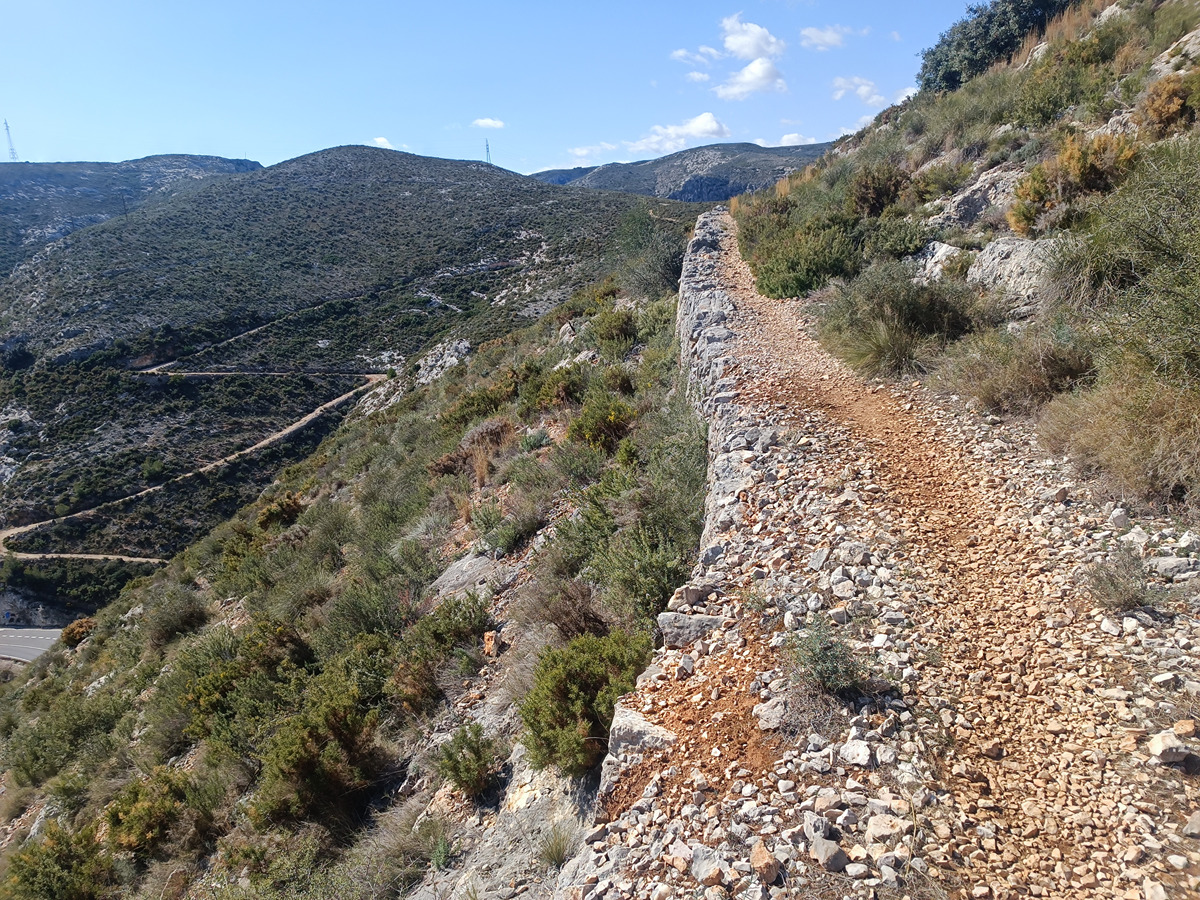
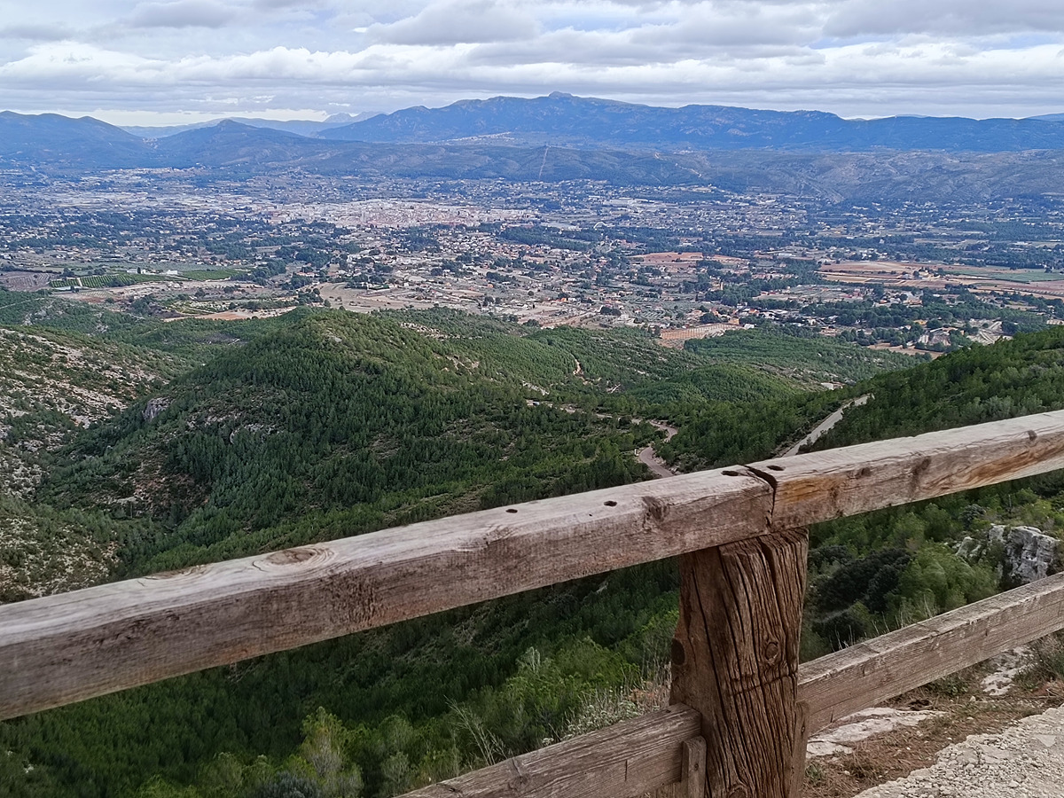
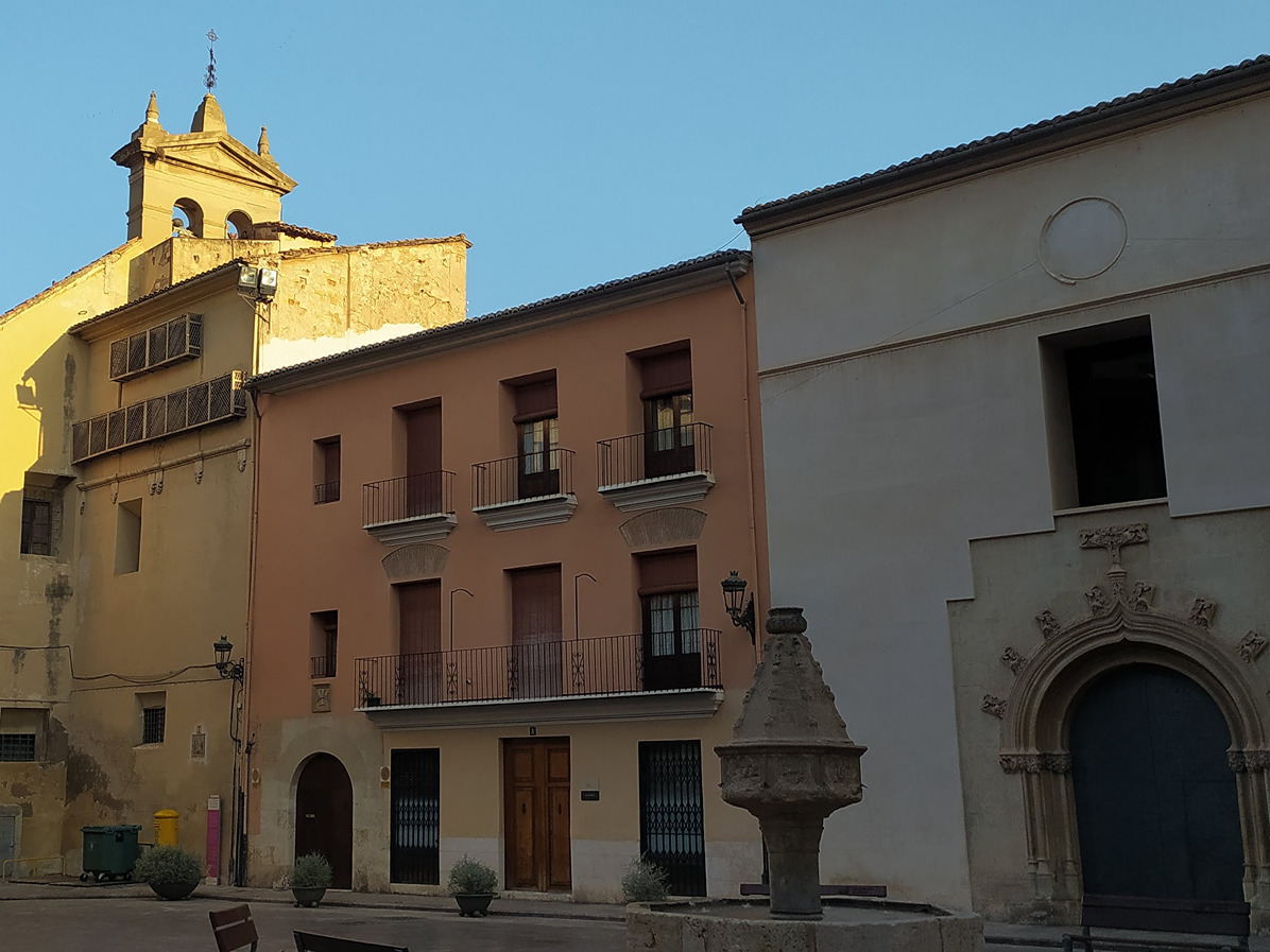
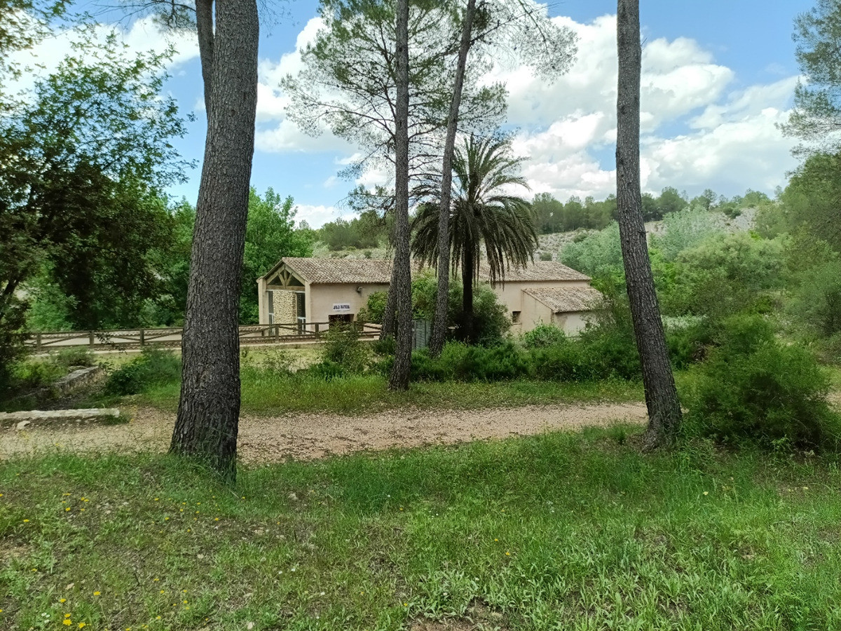
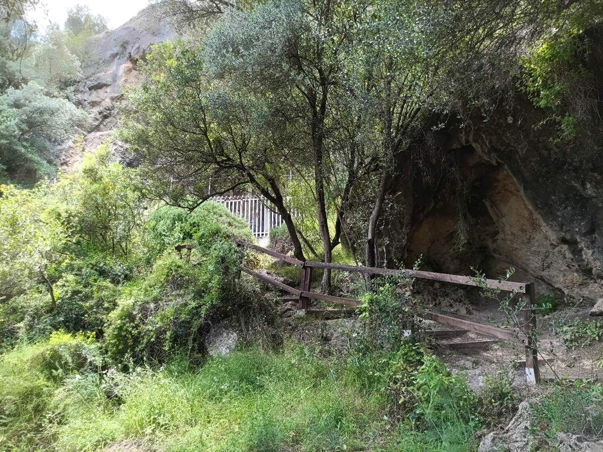
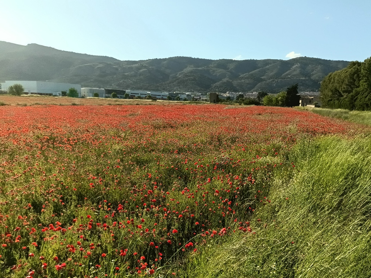
A transition stage between La Costera and Vall d'Albaida, allowing us to discover the hydraulic heritage of the Albaida River, archaeological sites such as La Cova Negra, and enjoy the agricultural landscapes of these regions.

Trail:
One way (point-to-point)
Technical data:
Length:
33,40 km
Estimated walking time:
09:20:00
Elevation gain:
585 m
Elevation loss:
355 m
MIDE ratings:
Level of natural risks:
1
Navigation on the trail:
2
Hiking difficulty:
2
Fitness level needed:
4

More information at Montaña Segura

Difficulty rating according to FEDME:
Unknown
Starting point:
Interest Tags:
Trail with historical-artistic interest

Useful information:
Date of the last Quality Control:
may de 2026
Reference municipality:
Other municipalities through which it passes:
District:
Province:
Valencia/València
Cartography IGN MTN25:
0794-4; 0795-1; 0795-3; 0820-2

You can download them from the IGN Map Library Catalog

See other trails of this promoter:
Protected Natural Spaces:

It is recommended to consult the regulations and/or authorizations for the use of trails in these protected natural areas on the website of the Regional Ministry of Environment, Water, Infrastructure, and Territory

  • Curso Medio del río Albaida (SIC - Site of Community Interest)
  • La Cova Negra (Municipal Natural Site)
Weather information:
Nearest AVAMET weather station
Key points of the route:

Xàtiva - la Cova Negra (archaeological site) – Bellús – Guadassèquies – Benissuera – Alfarrasí - Montaverner. Casa de Peones Camineros (former road workers' house) – Bufalí - Cruce Colada de la Casa del Manco (drovers’ road intersection) - Ontinyent

Route description (only available in Spanish)

Seguiremos por la avenida de Selgas a la fuente dels Vinticinc Xorros y por la calle de Sant Pasqual para ascender por la calle Pujada de Bixquert hasta llegar a la carretera CV-620, que cruzaremos para retomarla unos cientos de metros más adelante. Entraremos en una zona de viviendas diseminadas a través del camino de Alboi, también conocido como camino Real de Xàtiva a Gandia y Dénia, que nos conducirá hasta el Estret de les Aigües y el yacimiento de la Cova Negra. A continuación, continuaremos paralelos al río Albaida hasta llegar a Bellús y al embalse del mismo nombre.

Desde Bellús seguiremos por el camino de les Fanecades y, tras pasar junto al aeródromo de Banimantell, alcanzaremos la población de Guadassèquies. Cruzaremos el núcleo urbano hasta la rotonda de salida, donde tomaremos un camino de tierra paralelo a la carretera que nos llevará primero a Sempere y, posteriormente, por la CV-613, a Benissuera.

Atravesaremos Benissuera en dirección a la plaza Mayor y la plaza de la Iglesia para salir de la población y tomar el camino de la Séquia dels Quatre Pobles hacia Alfarrasí. Cruzaremos esta localidad siguiendo la CV-620 y la abandonaremos por la zona industrial. Después, atravesaremos el pont Llarg y el pont Curt para bordear Montaverner y continuar en dirección a Bufalí por el camino Real de Ontinyent a Gandia.

Rodearemos Bufalí por las inmediaciones del polideportivo y tomaremos el camino de Bufalí a Albaida hasta alcanzar la carretera CV-641, junto a la estación depuradora. Seguiremos por la margen derecha de la carretera, cruzaremos el puente y, a la altura de la Creueta Roja, tomaremos un camino a la izquierda que más adelante nos permitirá pasar bajo la autovía A-7. Finalmente, entraremos en Ontinyent por el polígono industrial El Pla d’Ontinyent. Una vez en la localidad, seguiremos las indicaciones hacia el Ayuntamiento y, posteriormente, hacia la oficina de turismo.

Downloads:

Beware! Navigation devices may fail, batteries may run out of power and devices may break down. Do not use only electronic means to track your activities in the mountains; they must be used as a complement to the map and compass. Get some proper training and enjoy the mountains.

Other trails connecting with this trail