ES / EN / VA

Rate this trail

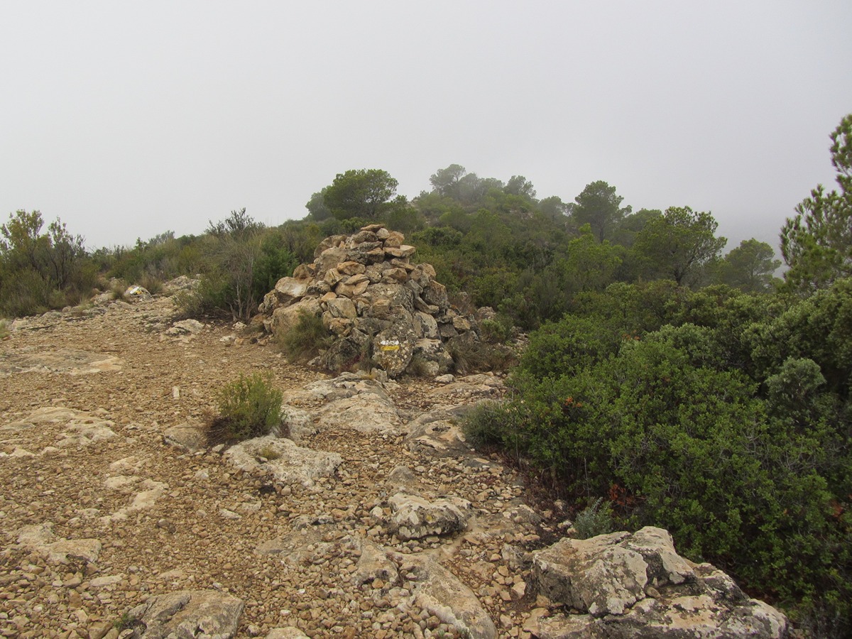
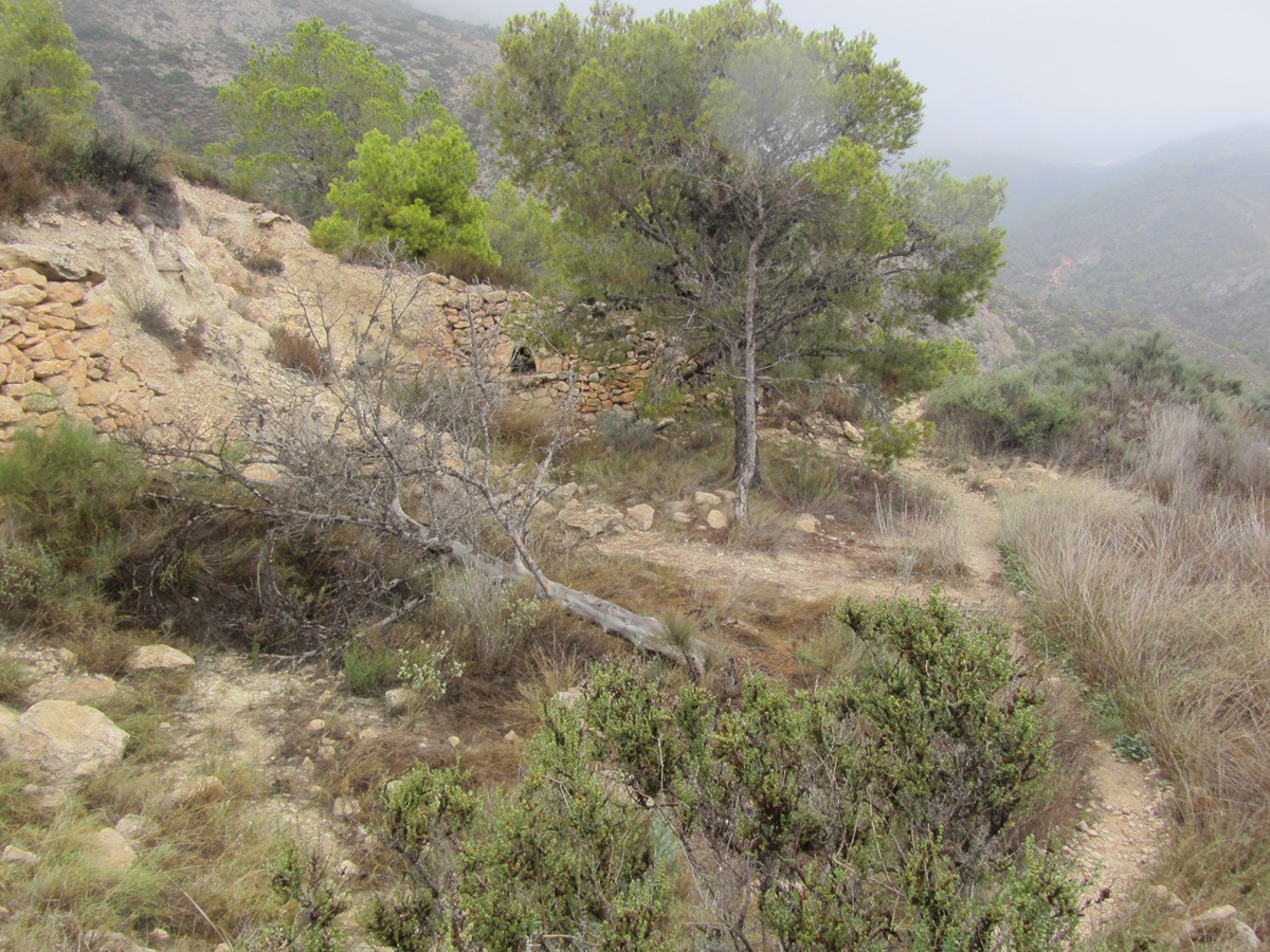
PR-CV 110.1 LA SERRA MITJANA

Promoter: Centre Excursionista de Crevillent

Certification status: Positive quality control

1 review
Trail:
One way (point-to-point)
Technical data:
Length:
0,70 km
Estimated walking time:
00:20:00
Elevation gain:
90 m
Elevation loss:
0 m
MIDE ratings:
Level of natural risks:
2
Navigation on the trail:
2
Hiking difficulty:
3
Fitness level needed:
1

More information on Montaña Segura

Difficulty rating according to FEDME:
Unknown
Starting point:
End Point:
Useful information:
Date of certification:
15-03-0097
Date of the act of registration in the Public Register:
22-05-2007
Date of the last Quality Control:
august de 2024
Reference municipality:
District:
Province:
Alicante/Alacant
Cartography IGN MTN25:
0892-2

Downloadable from the Catalogue of the IGN Map Library

See other trails of this promoter:
Protected Natural Spaces:

We advise you to look up the regulations and/or authorisations for using the trails in these conservation areas on the website of the Conselleria de Medio Ambiente, Agua, Infraestructuras y Territorio

  • Serra de Crevillent (SIC - Site of Community Interest)
  • Serres del Sud d'Alacant (SPAB - Special Protection Area for Birds)
  • Sierra de Crevillent (SAC - Special Area of Conservation)
Weather information:
Key points of the route:

PR-CV 110 - connection PR-CV 180 - Cumbre Mitjana (summit)

Route description (only available in Spanish)

Desde el PR-CV 110 y por una senda entre antiguos bancales recuperados por el monte nos conduce al collado y a la cumbre de la Mitjana.

Downloads:

Beware! Navigation devices may fail, batteries may run out of power and devices may break down. Do not use only electronic means to track your activities in the mountains; they must be used as a complement to the map and compass. Get some proper training and enjoy the mountains.