Rate this trail

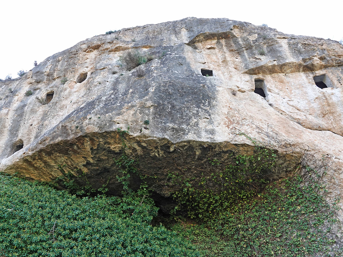
PR-CV 135.1 COVA DE LES FINESTRES

Promoter: Ayuntamiento de Agullent

Certification status: Positive quality control

0 reviews

Derivation that takes you to the Finestres Cave.

Trail:
One way (point-to-point)
Technical data:
Length:
2,40 km
Estimated walking time:
00:40:00
Elevation gain:
10 m
Elevation loss:
85 m
MIDE ratings:
Level of natural risks:
2
Navigation on the trail:
2
Hiking difficulty:
2
Fitness level needed:
2

More information on Montaña Segura

Difficulty rating according to FEDME:
Unknown
Starting point:
Useful information:
Date of certification:
15-10-1998
Date of the last Quality Control:
october de 2023
Reference municipality:
District:
Province:
Alicante/Alacant
Cartography IGN MTN25:
0820-2

Downloadable from the Catalogue of the IGN Map Library

See other trails of this promoter:
Key points of the route:

Mas de Vicedo (estate) - Casa Bona (old rural house) - Bancal Redó (agriculture terrace) - Via FFCC (railway tracks)- Cova Finestres (cave)

Route description (only available in Spanish)

Desde el mas de Vicedo tomamos dirección oeste por la pista forestal dejando a la derecha las ruinas de la casa Bona. Descenderemos paulatinamente hasta las vías del tren que seguiremos paralelos para cruzarlas y volver de nuevo paralelos, pero por el otro lado por un camino que nos conduce hasta la cova de les Finestres.

Downloads:

Beware! Navigation devices may fail, batteries may run out of power and devices may break down. Do not use only electronic means to track your activities in the mountains; they must be used as a complement to the map and compass. Get some proper training and enjoy the mountains.