
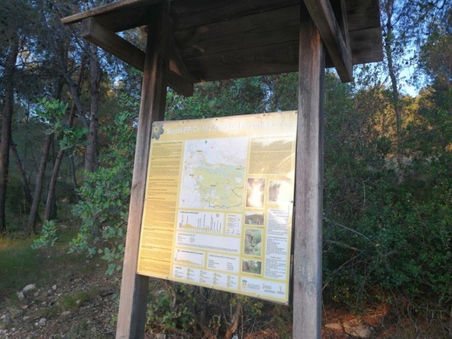
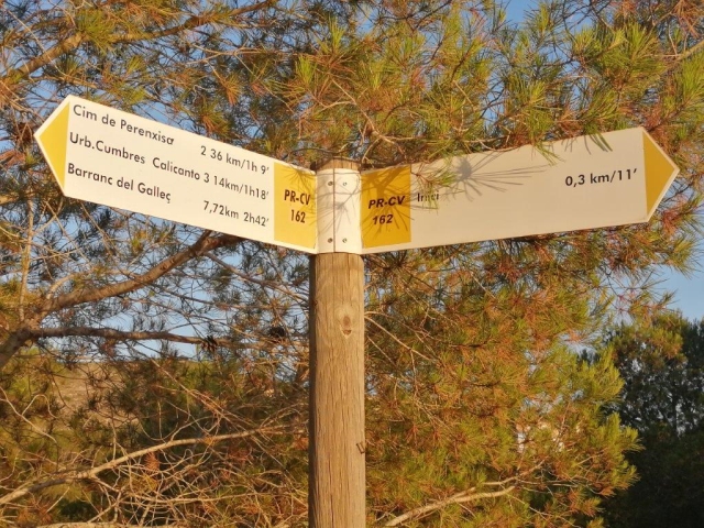
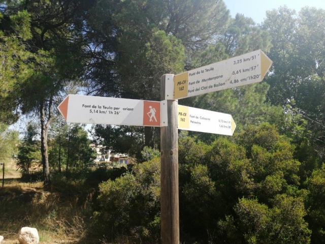
PR-CV 162 LA SERRA PERENXISA
Promoter: Ayuntamiento de Torrent
Certification status: Positive quality control
2 reviews
Trail:
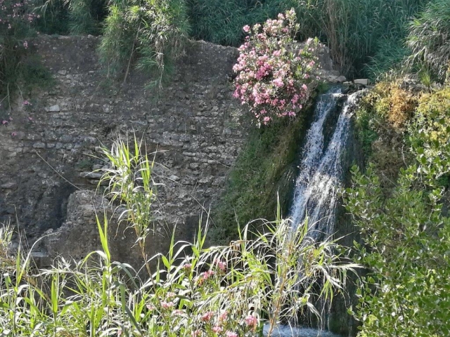
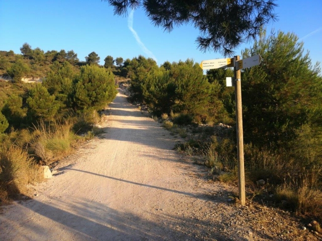
Loop with some overlapping out and back sections