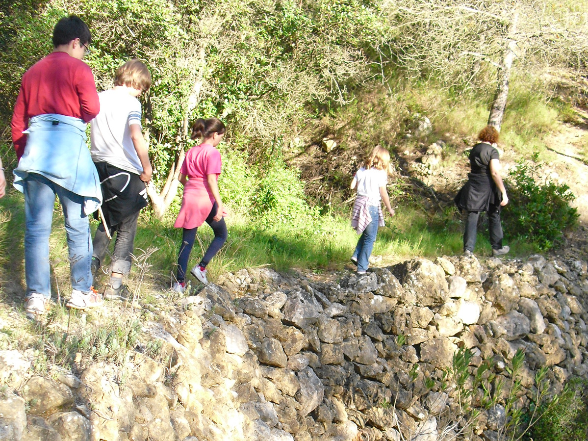
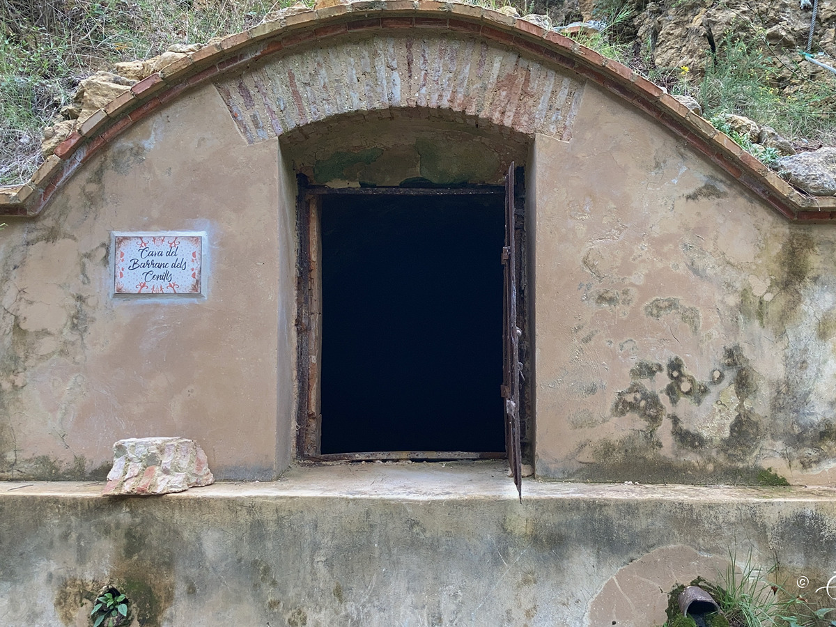
More information at Montaña Segura
You can download them from the IGN Map Library Catalog
It is recommended to consult the regulations and/or authorizations for the use of trails in these protected natural areas on the website of the Regional Ministry of Environment, Water, Infrastructure, and Territory
PR-CV 172 - Barranc dels Conills ravine path - Cava dels Conills (cistern) - Camino de la Serra (path) - PR-CV 172
Desde el PR-CV 172 bajamos por la Senda del barranc dels Conills. Pasamos por el cruce que se lleva al cava dels Conills y continuamos bajando por la senda hasta llegar a un cruce. A la derecha llegamos al camino de Quatretonda al Pla de Corrals o camino de la Serra. Nosotros seguimos a la izquierda para enlazar de nuevo con el sendero principal.
Beware! Navigation devices may fail, batteries may run out of power and devices may break down. Do not use only electronic means to track your activities in the mountains; they must be used as a complement to the map and compass. Get some proper training and enjoy the mountains.