Rate this trail

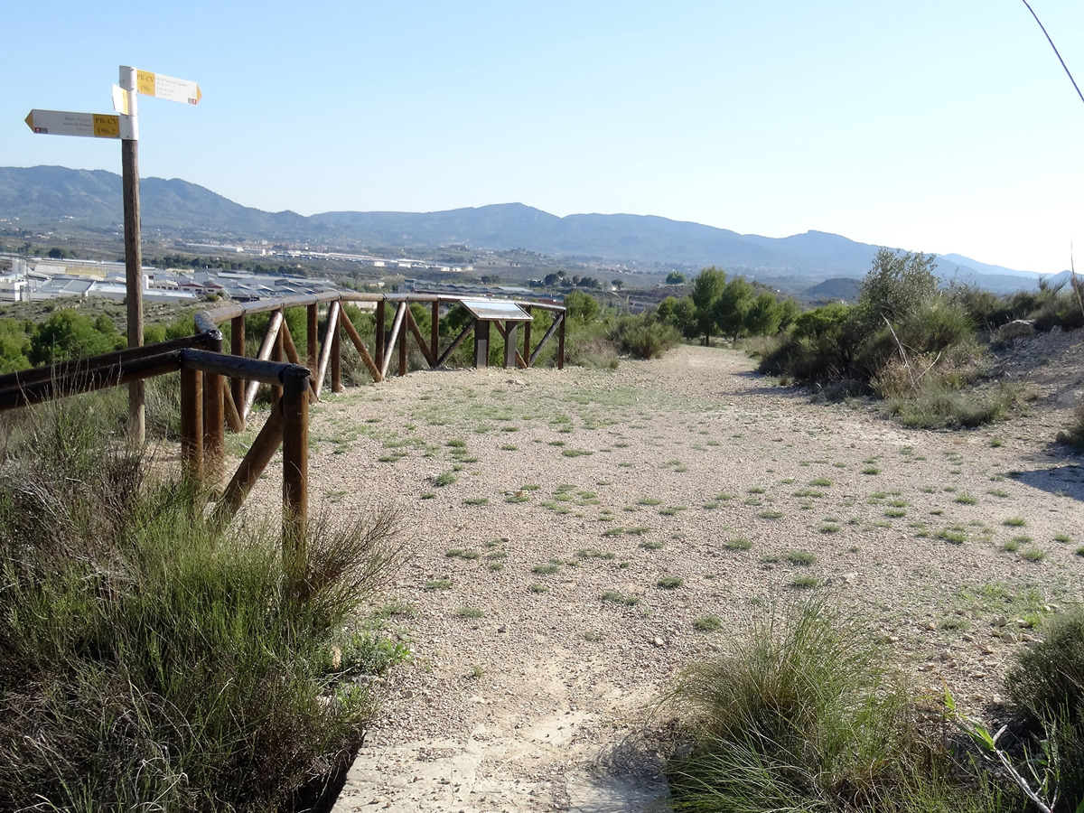
PR-CV 196.2 PINADA TRINITARIO

Promoter: Ayuntamiento de Elda

Certification status: Positive quality control

0 reviews
Trail:
One way (point-to-point)
Technical data:
Length:
0,50 km
Estimated walking time:
00:05:00
Elevation gain:
Unknown
Elevation loss:
25 m
MIDE ratings:
Level of natural risks:
2
Navigation on the trail:
2
Hiking difficulty:
1
Fitness level needed:
1

More information on Montaña Segura

Difficulty rating according to FEDME:
Unknown
Starting point:
Área recreativa Pinada del Trinitario
End Point:
Polígono industrial Campo Alto (enlace PR-CV 195)
Useful information:
Date of the last Quality Control:
may de 2022
Reference municipality:
District:
Province:
Alicante/Alacant
Cartography IGN MTN25:
0871-1

Downloadable from the Catalogue of the IGN Map Library

See other trails of this promoter:
Key points of the route:

Pinar del Trinitario (pine grove) - connection PR-CV 195

Route description (only available in Spanish)

El itinerario comienza en la Fuente Superior de Trinitario, donde en poste vertical señala la dirección, pero el número del PR es equivocado, y acaba en el panel de Diputación y Fuente Inferior.

Downloads:

Beware! Navigation devices may fail, batteries may run out of power and devices may break down. Do not use only electronic means to track your activities in the mountains; they must be used as a complement to the map and compass. Get some proper training and enjoy the mountains.

Other trails connecting with this trail
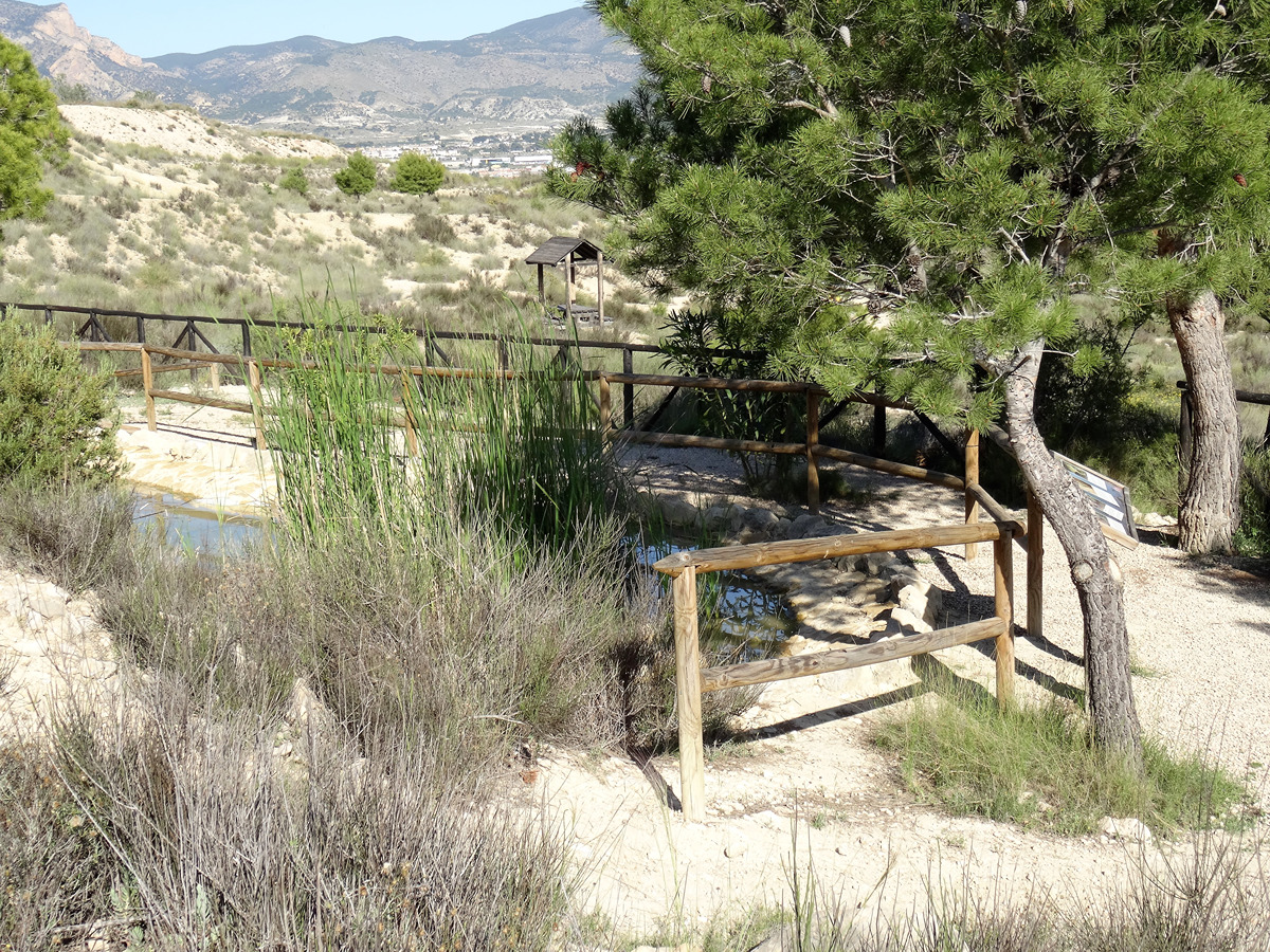