Rate this trail

PR-CV 213.3 ALT DEL BENICADELL

Promoter: Ayuntamiento de Beniatjar y de Ráfol de Salem

Certification status: Positive quality control

1 review

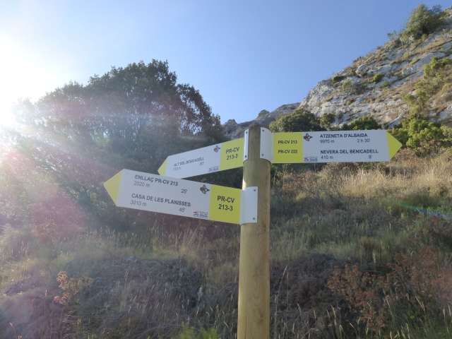
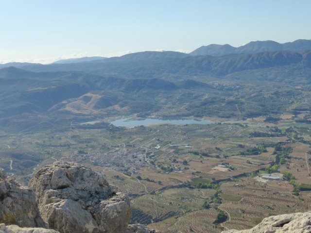
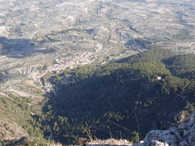
This variant allows you to climb to the summit of Benicadell (1,105 m), skirting the rocky escarpments and visiting the icehouse (17th century). An intense path, full of zigzags that gives you a magnificent view of the Vall d'Albaida and the Comtat.

Trail:
One way (point-to-point)
Technical data:
Length:
3,60 km
Estimated walking time:
01:45:00
Elevation gain:
360 m
Elevation loss:
95 m
MIDE ratings:
Level of natural risks:
4
Navigation on the trail:
2
Hiking difficulty:
3
Fitness level needed:
2

More information on Montaña Segura

Difficulty rating according to FEDME:
Unknown
End Point:
Useful information:
Date of certification:
15-03-2001
Date of the act of registration in the Public Register:
22-05-2007
Date of the last Quality Control:
december de 2023
Reference municipality:
Otros municipios por los que transcurre:
District:
Province:
Valencia/València
Cartography IGN MTN25:
0795-3; 0821-1

Downloadable from the Catalogue of the IGN Map Library

See other trails of this promoter:
Protected Natural Spaces:

We advise you to look up the regulations and/or authorisations for using the trails in these conservation areas on the website of the Conselleria de Medio Ambiente, Agua, Infraestructuras y Territorio

  • Penya del Benicadell (Flora Micro-reserve)
  • Solana del Benicadell (Protected Landscape)
  • Umbría del Benicadell (Protected Landscape)
Key points of the route:

Umbría del Benicadell track - Ice house detour - Nevera de Benicadell (ice house) - Ice house detour - Benicadell summit

Route description (only available in Spanish)

Desde la pista que viene de la casa forestal de Planisses iniciamos el ascenso por una senda por la cara norte del Benicadell. A medio camino encontramos el enlace con el PR-CV 222 y el PR-CV 184 y el desvío para visitar la nevera del Benicadell. Después de visitar el nevero regresaremos a la senda y retomaremos el ascenso. Pasaremos por un collado donde se encuentran los restos de una construcción. Desde aquí, treparemos por el roquedo hasta la cumbre del Benicadell. Este tramo final es una cresta amplia en la que deberemos de tener precaución ya que no está exenta de riesgo.

Downloads:

Beware! Navigation devices may fail, batteries may run out of power and devices may break down. Do not use only electronic means to track your activities in the mountains; they must be used as a complement to the map and compass. Get some proper training and enjoy the mountains.

Other trails connecting with this trail