Rate this trail

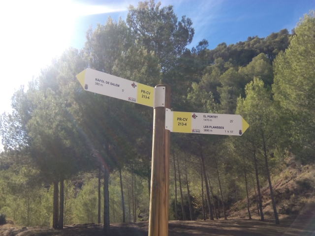
PR-CV 213.4 DE RÁFOL DE SALEM AL PORTET

Promoter: Ayuntamiento de Beniatjar y de Ráfol de Salem

Certification status: Positive quality control

0 reviews

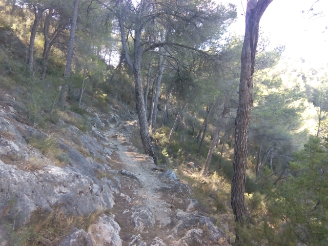
Variant that allows you to access the main PR-CV 213 trail from the municipality of Ràfol de Salem going up the shady side of the Benicadell mountain through a dense pine forest.

Trail:
One way (point-to-point)
Technical data:
Length:
2,50 km
Estimated walking time:
00:55:00
Elevation gain:
240 m
Elevation loss:
15 m
MIDE ratings:
Level of natural risks:
2
Navigation on the trail:
2
Hiking difficulty:
3
Fitness level needed:
2

More information on Montaña Segura

Difficulty rating according to FEDME:
Unknown
End Point:
Useful information:
Date of certification:
15-03-2001
Date of the act of registration in the Public Register:
22-05-2007
Date of the last Quality Control:
december de 2023
Reference municipality:
Otros municipios por los que transcurre:
District:
Province:
Valencia/València
Cartography IGN MTN25:
0795-3

Downloadable from the Catalogue of the IGN Map Library

See other trails of this promoter:
Protected Natural Spaces:

We advise you to look up the regulations and/or authorisations for using the trails in these conservation areas on the website of the Conselleria de Medio Ambiente, Agua, Infraestructuras y Territorio

  • Umbría del Benicadell (Protected Landscape)
Key points of the route:

Ràfol de Salem - Ermita de Sant Blai (chapel) - El Portet (peak). Forest track - PR-CV 213 connection.

Route description (only available in Spanish)

Tomamos la subida a la ermita de San Blas por el calvario y por detrás de esta seguimos en ascenso hasta el Portet. Continuamos en ascenso más moderado por la serreta de Ráfol hasta la pista forestal de les Planisses que cruzamos para seguir por un camino hasta el punto de encuentro con el PR-CV 213.

Downloads:

Beware! Navigation devices may fail, batteries may run out of power and devices may break down. Do not use only electronic means to track your activities in the mountains; they must be used as a complement to the map and compass. Get some proper training and enjoy the mountains.