Rate this trail

PR-CV 257 RUTA DE LES BODEGUES

Promoter: Ayuntamiento de Llíria

Certification status: Conditioned quality control

0 reviews

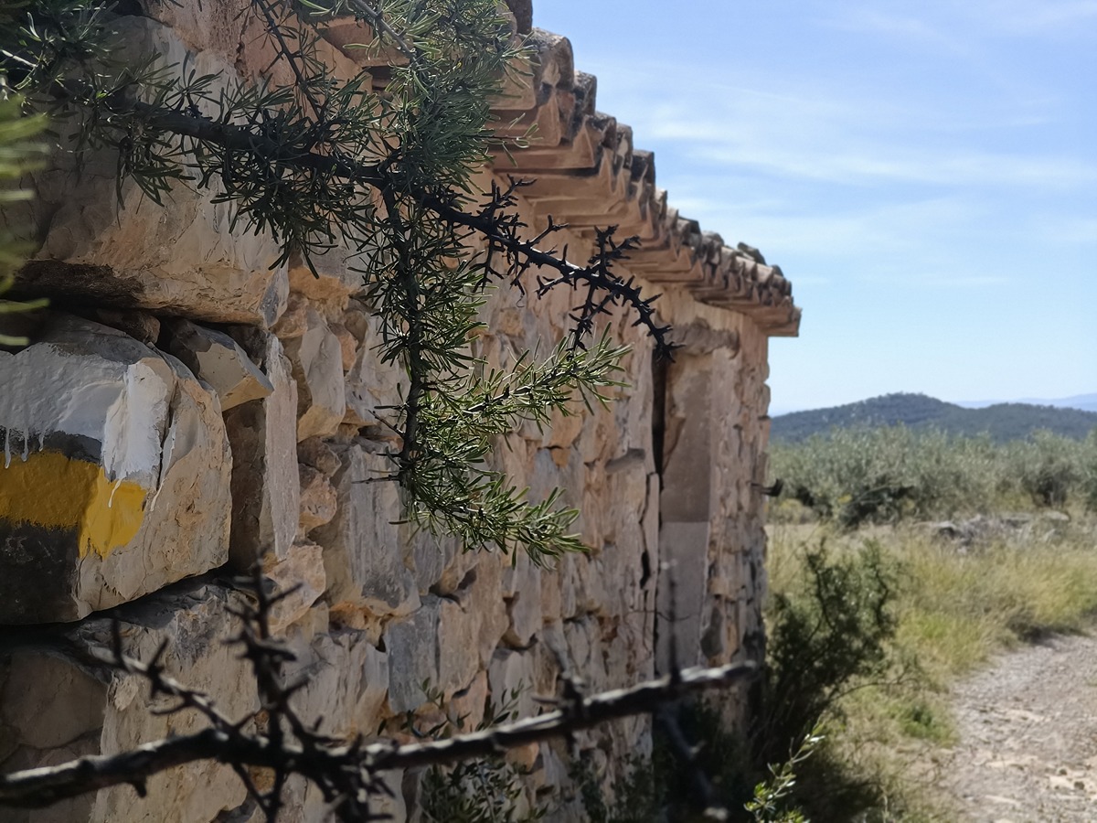
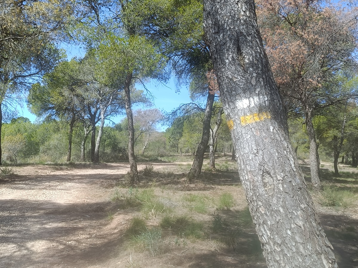
Following the inspection carried out by trail technicians, this trail has been declared of "limited adequacy" as a result of the faults detected in the signage. These include inadequate horizontal signs (paint markers) and/or vertical ones (trailheads and information boards) or lacking direction markers that do not provide sufficient information to properly follow the route. The builder of this trail has been informed of the situation.
For safety reasons and during maintenance work, it is advised to be extremely careful while taking this route. Furthermore, mountain sports entail risks associated with the activity itself and the environment where they take place, for which any person is fully liable. For this reason, hikes need to be planned properly and adequate training, equipment and sensible use of the trails are required.

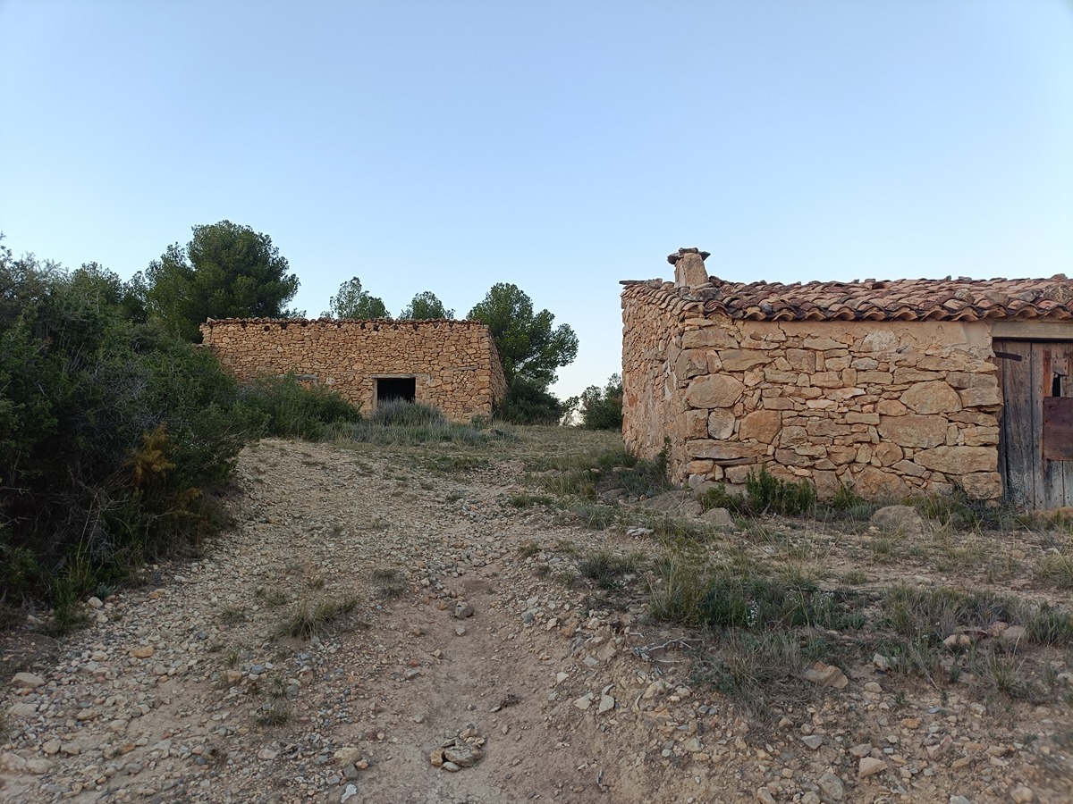
An itinerary that runs between the old scattered and some areas of lush pine forests that still exist in the Concordia range with points such as the Ferradura peak, with a wide panoramic view of the Serrania.

Trail:
Loop with some overlapping out and back sections
Technical data:
Length:
26,30 km
Estimated walking time:
07:45:00
Elevation gain:
560 m
Elevation loss:
560 m
MIDE ratings:
Level of natural risks:
2
Navigation on the trail:
2
Hiking difficulty:
2
Fitness level needed:
4

More information on Montaña Segura

Difficulty rating according to FEDME:
Unknown
Starting point:
Useful information:
Date of certification:
15-02-2004
Date of the act of registration in the Public Register:
22-05-2007
Date of the last Quality Control:
october de 2024
Reference municipality:
Otros municipios por los que transcurre:
District:
Province:
Valencia/València
Cartography IGN MTN25:
0667-1; 0667-3

Downloadable from the Catalogue of the IGN Map Library

See other trails of this promoter:
Key points of the route:

Camino de la Yesa (path) - Bodegas de Camp (village) – Bodegas de Viroles (village) – Bodegas de Santa (village) – Corral de Ambrós (corral) – Bodegas de Gea (village) – Collado de la Llosa (col) – Alto de la Ferradura (peak) – Bodegas del Mundo Nuevo (village) – Corral de Huerta (corral) – Bodegas de Tufaltaves (village) - Camino de la Yesa (path)

Route description (only available in Spanish)

Iniciamos desde las bodegas del Campo, rumbo NO, por el camino de la Yesa, que discurre entre campos de cultivo de almendros y olivos. A 1 km del inicio encontramos las bodegas de Viroles y poco más adelante la rambla del Flares. Giramos a nuestra derecha al camino de la Yesa. que abandonaremos en un km. Tomamos a la derecha el camino de las bodegas de Santa. Pasadas estas giraremos a la izquierda para tomar el camino de los Pinos para volver al camino de la Yesa y ya con rumbo NO, a través de un frondoso pinar, a los corrales de Ambrós.

Seguimos por el camino del Corral d´Ambrós junto con el PR-CV 259 y llegamos a las bodegas de Gea, punto de inicio del tramo circular. Una vez atravesadas las casas, giramos a la derecha con rumbo N y volvemos a tomar el camino de la Yesa que nos llevará hasta el collado de la Llosa. Giramos a la izquierda, rumbo S0 y dejamos el PR-CV 259, con un acusado desnivel hasta el alto de la Ferradura donde comenzaremos a bajar por la cañada del Trabuco hasta la rambla de Artaj. Seguimos por nuestra izquierda por el camino que nos llevará hasta las bodegas de Mundo Nuevo y más adelante hasta el corral de Huerta. Continuamos por una senda estrecha (rumbo E) hasta abocar a un camino que ya rumbo S nos llevará hasta el camino de Tufaltaves a Mundo Nuevo que seguimos a la izquierda hasta las bodegas de Tufaltaves. Tomamos el camino de Tufaltaves a Garrote (rumbo NE) que nos llevará hasta las bodegas de Gea. Desde aquí volvemos al inicio deshaciendo el camino de ida.

Downloads:

Beware! Navigation devices may fail, batteries may run out of power and devices may break down. Do not use only electronic means to track your activities in the mountains; they must be used as a complement to the map and compass. Get some proper training and enjoy the mountains.

Other trails connecting with this trail