ES / EN / VA

Rate this trail

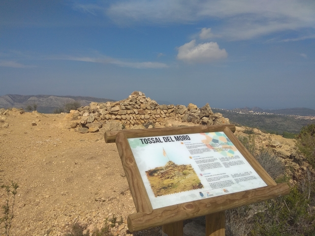
PR-CV 412.1 GATA DE GORGOS - TOSAL DEL MORO - SERRELLARS

Promoter: Ayuntamiento de Gata de Gorgos

Certification status: No quality controls

0 reviews
Trail:
One way (point-to-point)
Technical data:
Length:
1,93 km
Estimated walking time:
00:25:00
Elevation gain:
Unknown
Elevation loss:
Unknown
MIDE ratings:
Level of natural risks:
Unknown
Navigation on the trail:
2
Hiking difficulty:
Unknown
Fitness level needed:
Unknown

More information on Montaña Segura

Difficulty rating according to FEDME:
Unknown
Starting point:
Gata de Gorgos
End Point:
Gata de Gorgos
Useful information:
Date of the act of registration in the Public Register:
07-05-2019
Reference municipality:
District:
Province:
Alicante/Alacant
Cartography IGN MTN25:

Downloadable from the Catalogue of the IGN Map Library

See other trails of this promoter:
Weather information:
Key points of the route:

PR-CV 412 detour - Tosal del Moro (hill) - PR- CV 412 merging

Route description (only available in Spanish)

Por encima de la Font de la Mata empieza por una pista, bien cuidada y mantenida hasta una construcción, vivienda rehabilitada, en la cual el Sendero pasa pegada a ella, dirección Sur, donde se da paso a una senda bien definida y asentada, que sube zigzagueando por una vaguada, orientada al Este, por márgenes de roca, bien cuidados y enteros, en ese tramo todavía se disfruta de vegetación alta, lentiscos, pinos y alguna carrasca, lo que hace que se vaya protegido del Sol.
Una vez superamos ese tramo llegamos a la divisoria donde el Sendero toma una línea ascendente y mantenida, siguiendo la divisoria, dirección Sur, y que nos lleva hasta el punto más alto de esta Variante, el Tossal del Moro 354m.
Desde la cumbre iniciamos el descenso rumbo S/E y siguiendo la línea natural de la divisoria que nos lleva hasta el Collado de la Casa Canela, antigua almazara, ahora en ruinas.
Llegados a este punto volvemos a contactar con el PR CV-412.

Downloads:

Beware! Navigation devices may fail, batteries may run out of power and devices may break down. Do not use only electronic means to track your activities in the mountains; they must be used as a complement to the map and compass. Get some proper training and enjoy the mountains.

Other trails connecting with this trail