Rate this trail

PR-CV 418 PICO DEL TEJO

Promoter: Ayuntamiento de Requena

Certification status: Conditioned quality control

0 reviews

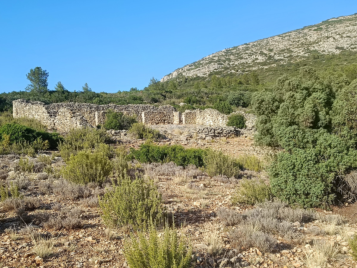
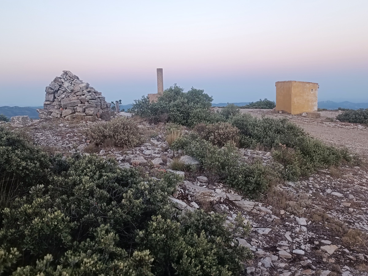
This trail is in process of approval. You might find provisional markers throughout the route.
In these cases, the FEMECV considers these trails to be backcountry that requires navigation and mountain safety skills, where the hiker takes the risk of any fault in the signs or lack thereof. When in doubt, we recomend you to opt for a fully approved trail, to join activities organised by a hiking club that belongs to the FEMECV or to hire a mid-mountain guide.

Trail:
One way (point-to-point)
Technical data:
Length:
7,10 km
Estimated walking time:
02:05:00
Elevation gain:
525 m
Elevation loss:
50 m
MIDE ratings:
Level of natural risks:
2
Navigation on the trail:
2
Hiking difficulty:
1
Fitness level needed:
2

More information on Montaña Segura

Difficulty rating according to FEDME:
Unknown
Starting point:
End Point:
Useful information:
Date of certification:
27-09-2024
Date of the last Quality Control:
august de 2024
Reference municipality:
District:
Province:
Valencia/València
Cartography IGN MTN25:
0694-3; 0694-4

Downloadable from the Catalogue of the IGN Map Library

See other trails of this promoter:
Protected Natural Spaces:

We advise you to look up the regulations and/or authorisations for using the trails in these conservation areas on the website of the Conselleria de Medio Ambiente, Agua, Infraestructuras y Territorio

  • Las Callejuelas (Flora Micro-reserve)
Route description (only available in Spanish)

Salimos de la Casa de la Roja por la pista en dirección este. Después de recorrer 1,6 km llegamos a las ruinas del corral de Don Manuel. Continuamos ascendiendo por la pista y en el km 4,8 después de un giro brusco a la izquierda llegamos a la microrreserva de flora de las Callejuelas donde se pueden encontrar ejemplares de tejos, que dan nombre a esta sierra. Continuamos la subida hasta llegar a un collado y luego a un alto de la sierra y tras un pequeño descenso recorremos el último tramo de subida hasta llegar a la cima del pico del Tejo.

Downloads:

Beware! Navigation devices may fail, batteries may run out of power and devices may break down. Do not use only electronic means to track your activities in the mountains; they must be used as a complement to the map and compass. Get some proper training and enjoy the mountains.

Other trails connecting with this trail