Rate this trail

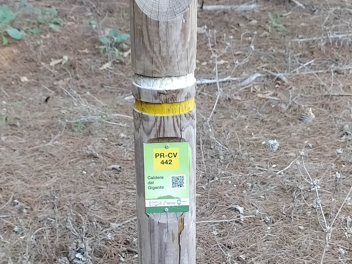
PR-CV 442 LA CALDERA DEL GIGANTE

Promoter: Consorcio para el Desarrollo Económico de la Vega Baja

Certification status: Conditioned quality control

0 reviews

Following the inspection carried out by trail technicians, this trail has been declared of "limited adequacy" as a result of the faults detected in the signage. These include inadequate horizontal signs (paint markers) and/or vertical ones (trailheads and information boards) or lacking direction markers that do not provide sufficient information to properly follow the route. The builder of this trail has been informed of the situation.
For safety reasons and during maintenance work, it is advised to be extremely careful while taking this route. Furthermore, mountain sports entail risks associated with the activity itself and the environment where they take place, for which any person is fully liable. For this reason, hikes need to be planned properly and adequate training, equipment and sensible use of the trails are required.

Trail:
One way (point-to-point)
Technical data:
Length:
16,50 km
Estimated walking time:
04:30:00
Elevation gain:
235 m
Elevation loss:
125 m
MIDE ratings:
Level of natural risks:
1
Navigation on the trail:
2
Hiking difficulty:
2
Fitness level needed:
3

More information on Montaña Segura

Difficulty rating according to FEDME:
Unknown
Useful information:
Date of certification:
15-09-2015
Date of the last Quality Control:
november de 2023
Reference municipality:
Otros municipios por los que transcurre:
Province:
Alicante/Alacant
Cartography IGN MTN25:
0914-1; 0914-3

Downloadable from the Catalogue of the IGN Map Library

See other trails of this promoter:
Key points of the route:

Urbanización Montemar (residential area) - Fossil remains - Caldera del Gigante (natural pool) - Casa de la Juliana Pequeña (old rural house) - Rest area - Sotos del río Segura (fertile lands) - Santuario de la Pilarica (sanctuary) - Shooting range - Cabezo Redondo (archeological site)

Route description (only available in Spanish)

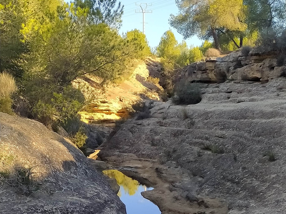
El recorrido comienza en el inicio del Barranco de Calderón que se prolonga durante poco más de 3 Km entre una hermosa pinada llamada el Hoyo Serrano y en cuyo interior encontramos restos del Pleistoceno y la impresionante Caldera del Gigante, uno de los puntos más atractivos del recorrido.

Seguimos para conectar con el camino paralelo a la autovía y atravesamos la CV-920 para llegar hasta el río Segura. Avanzamos por la margen derecha dirección Benejúzar, durante casi 8 km, en paralelo a los Sotos del río Segura, donde encontraremos zonas recreativas.

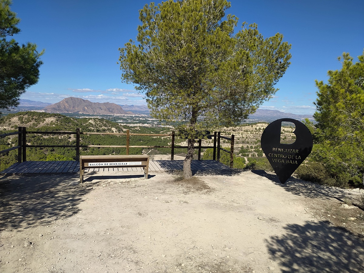
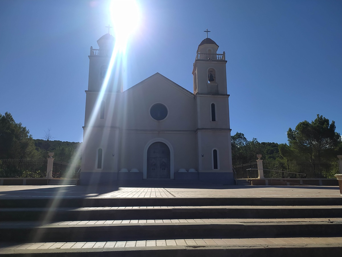
Al llegar a Benejúzar salimos de la margen del río y ascendemos unos 2 km hasta el paraje La Pilarica, pasando por: ctra. Orihuela, plaza Caídos, calle la Concordia y calle Pilarica, siendo ésta última paralela al barranco Mojón. Enlazamos con el arrabal San Urbaniz, y con el arrabal Dotacional, que nos lleva al santuario de Nuestra Señora del Pilar.

Desde la parte trasera del Santuario descendemos por el camino de La Pilarica. Enlazamos con el camino del Cabezo Redondo, paralelo al barranco Mojón. A ambos lados del camino se pueden ver amplias zonas de pinada tales como el Cabezo del Rosario, Cabezo de los Mozos, Cabezo de las Culebras y el Rincón de Juan, entre los que está situado el campo de tiro.

Ascendemos 900 m más hasta el punto más alto de Benejúzar, el Cabezo Redondo, culminando el recorrido.

Downloads:

Beware! Navigation devices may fail, batteries may run out of power and devices may break down. Do not use only electronic means to track your activities in the mountains; they must be used as a complement to the map and compass. Get some proper training and enjoy the mountains.

Comments: