Rate this trail

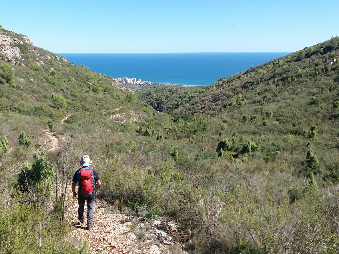
PR-CV 459.1 BARRANC DEL DIABLE

Promoter: Ayuntamiento de Oropesa del Mar

Certification status: No quality controls

1 review
Trail:
One way (point-to-point)
Technical data:
Length:
2,40 km
Estimated walking time:
01:15:00
Elevation gain:
360 m
Elevation loss:
5 m
MIDE ratings:
Level of natural risks:
2
Navigation on the trail:
2
Hiking difficulty:
2
Fitness level needed:
2

More information on Montaña Segura

Difficulty rating according to FEDME:
Unknown
Starting point:
Useful information:
Reference municipality:
District:
Province:
Castellón/Castelló
Cartography IGN MTN25:
0616-2

Downloadable from the Catalogue of the IGN Map Library

See other trails of this promoter:
Key points of the route:

PR-CV 259 path parallel to AP7 paratge del Coniller (natural area) - Pas de l'Angel (mountain pass) - PR-CV 259 start of the ravine, pista de les antenes (track)

Route description (only available in Spanish)

Esta variante nos permitirá acortar notablemente el recorrido a la par de conocer uno de los rincones más frondosos y atractivos de la Sierra de Oropesa del Mar. El recorrido parte del camino paralelo a la AP-7 a la altura del paraje del Conejero y remonta el Barranco del Diablo, coincidiendo la totalidad del itinerario con la vía pecuaria de la Vereda del Coniller.

Downloads:

Beware! Navigation devices may fail, batteries may run out of power and devices may break down. Do not use only electronic means to track your activities in the mountains; they must be used as a complement to the map and compass. Get some proper training and enjoy the mountains.