Rate this trail

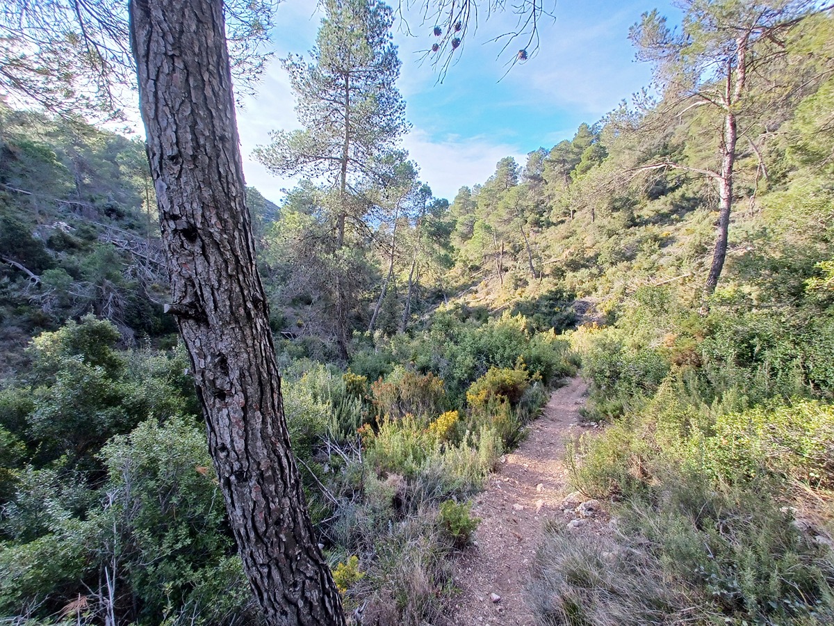
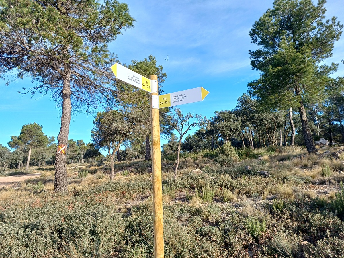
PR-CV 52.1 SENDA DELS AVIONS

Promoter: Grup de Muntanya Beneixama

Certification status: Positive quality control

2 reviews

Variant that allows us to shorten the main trail following the Avions ravine and the Franco ravine.

Trail:
One way (point-to-point)
Technical data:
Length:
4,30 km
Estimated walking time:
01:10:00
Elevation gain:
60 m
Elevation loss:
285 m
MIDE ratings:
Level of natural risks:
1
Navigation on the trail:
2
Hiking difficulty:
1
Fitness level needed:
2

More information on Montaña Segura

Difficulty rating according to FEDME:
Unknown
Useful information:
Date of certification:
18-03-2001
Date of the act of registration in the Public Register:
22-05-2007
Date of the last Quality Control:
march de 2024
Reference municipality:
Otros municipios por los que transcurre:
District:
Province:
Alicante/Alacant
Cartography IGN MTN25:
0820-3

Downloadable from the Catalogue of the IGN Map Library

See other trails of this promoter:
Protected Natural Spaces:

We advise you to look up the regulations and/or authorisations for using the trails in these conservation areas on the website of the Conselleria de Medio Ambiente, Agua, Infraestructuras y Territorio

  • Els Alforins (SIC - Site of Community Interest)
  • Els Alforins (SAC - Special Area of Conservation)
Key points of the route:

Albergue de Rita (PR-CV 52) (lodge) – La Replana – Barranc dels Avions (ravine) – Barranc de Franco (ravine) – Corral de Franco (corral) – PR-CV 52

Route description (only available in Spanish)

Salimos del albergue de Rita hacia los campos de Alonso. Antes de llegar a la pista de la Replana cogemos a mano izquierda la senda dels Avions que nos acerca a la CV-657 para enlazar con el barranc de Franco hasta el corral del mismo nombre. Al poco enlazamos con el trazado principal del PR-CV 52.

Downloads:

Beware! Navigation devices may fail, batteries may run out of power and devices may break down. Do not use only electronic means to track your activities in the mountains; they must be used as a complement to the map and compass. Get some proper training and enjoy the mountains.