Rate this trail

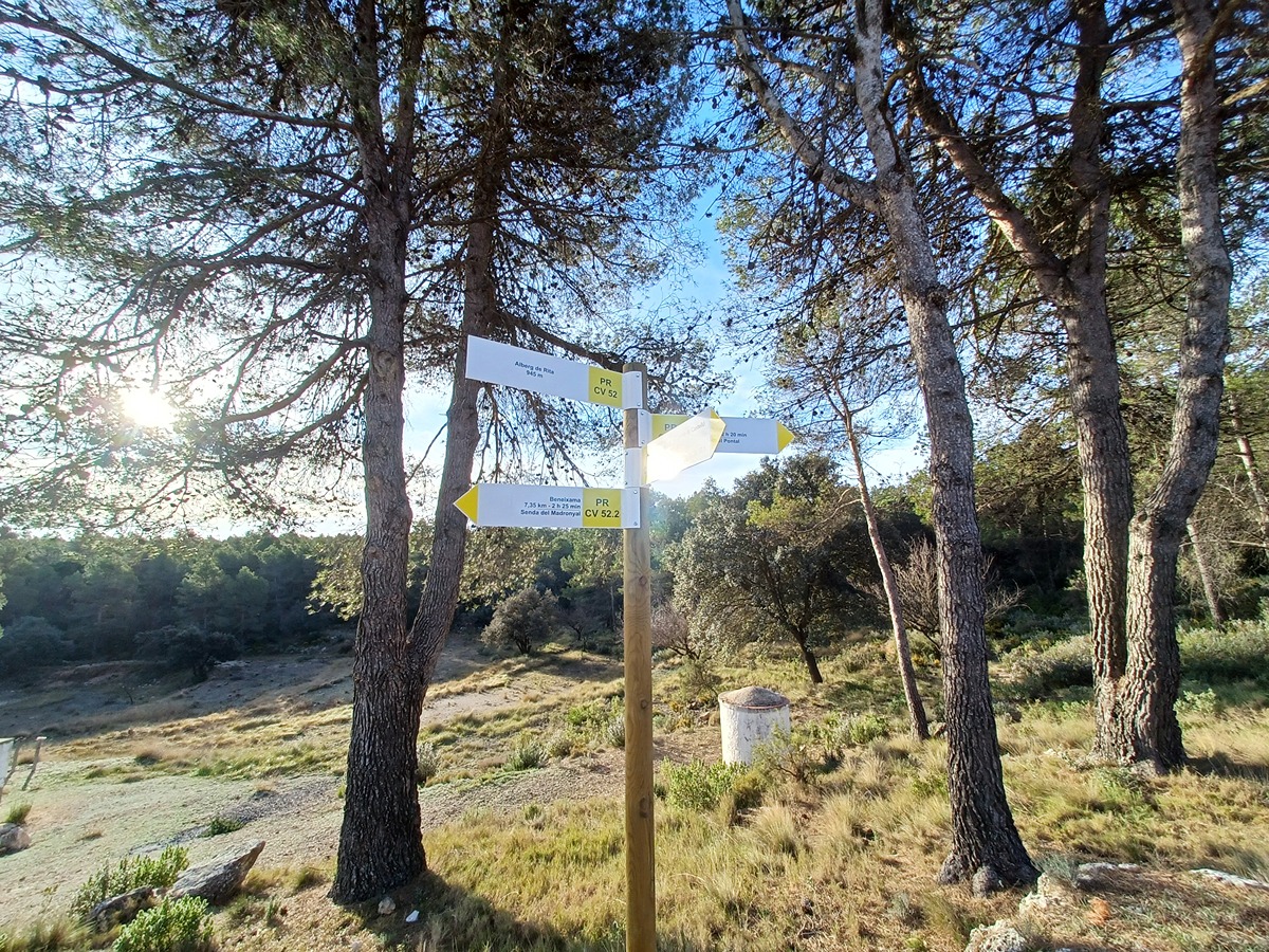
PR-CV 52.2 SENDA DEL MADRONYAL

Promoter: Grup de Muntanya Beneixama

Certification status: Positive quality control

2 reviews

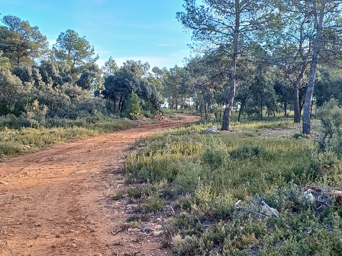
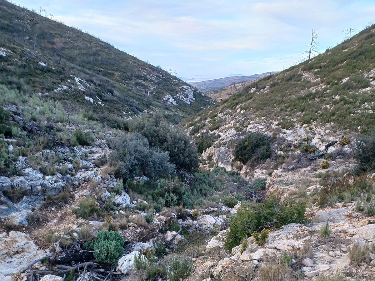
Variant that goes up to Rita's lodge by the Madronyal ravine path.

Trail:
One way (point-to-point)
Technical data:
Length:
3,80 km
Estimated walking time:
01:15:00
Elevation gain:
290 m
Elevation loss:
45 m
MIDE ratings:
Level of natural risks:
2
Navigation on the trail:
2
Hiking difficulty:
2
Fitness level needed:
2

More information on Montaña Segura

Difficulty rating according to FEDME:
Unknown
Useful information:
Date of certification:
18-03-2001
Date of the act of registration in the Public Register:
22-05-2007
Date of the last Quality Control:
march de 2024
Reference municipality:
District:
Province:
Alicante/Alacant
Cartography IGN MTN25:
0820-3

Downloadable from the Catalogue of the IGN Map Library

See other trails of this promoter:
Protected Natural Spaces:

We advise you to look up the regulations and/or authorisations for using the trails in these conservation areas on the website of the Conselleria de Medio Ambiente, Agua, Infraestructuras y Territorio

  • Els Alforins (SIC - Site of Community Interest)
  • Els Alforins (SAC - Special Area of Conservation)
Key points of the route:

PR-CV 52. La Boquera – Barranc del Madronyal(ravine) Pozo de nieve (ice house) – PR-CV 52. Albergue de Rita (lodge)

Route description (only available in Spanish)

Desde la entrada al mas de Sant Lluís remontamos el camino paralelo al barranc del Madronyal que bordea el cabecet del Maigmó y se acerca al pozo de nieve donde cogemos una senda para llegar por la parte de atrás del albergue de Rita.

Downloads:

Beware! Navigation devices may fail, batteries may run out of power and devices may break down. Do not use only electronic means to track your activities in the mountains; they must be used as a complement to the map and compass. Get some proper training and enjoy the mountains.