Rate this trail

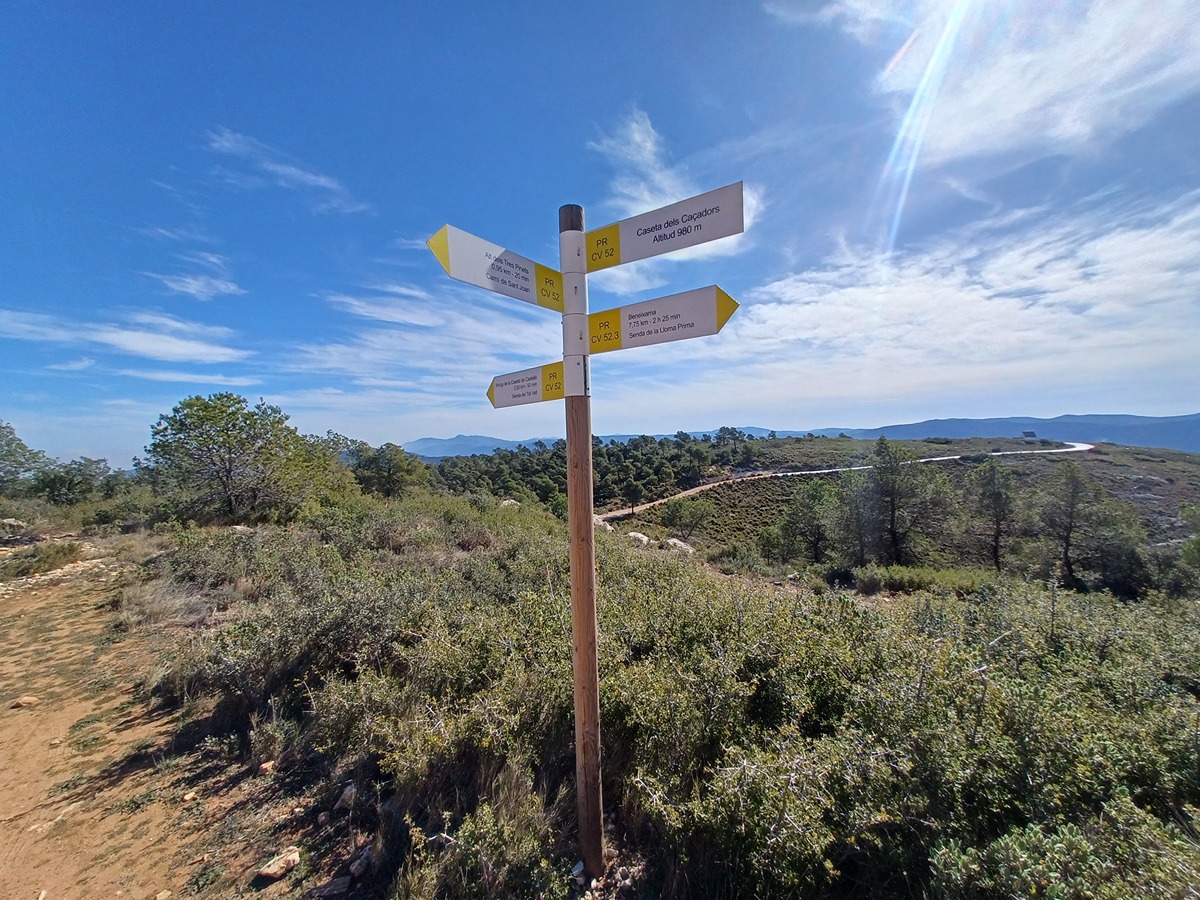
PR-CV 52.3 SENDA DE LA LLOMA PRIMA

Promoter: Grup de Muntanya Beneixama

Certification status: Positive quality control

2 reviews

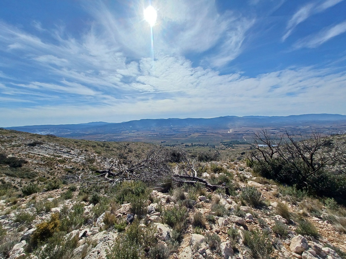
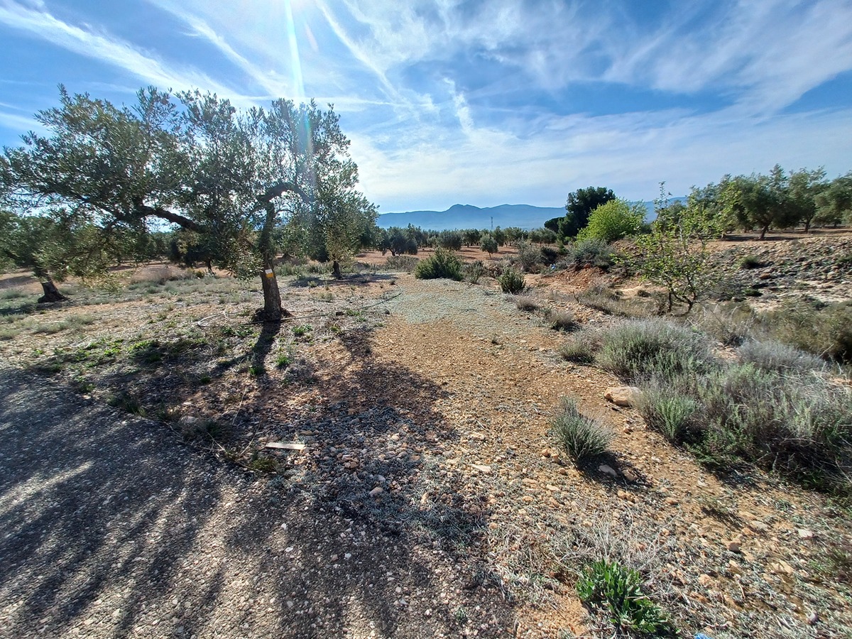
More demanding variant that crosses the dry fields to go up the lloma Prima to the hunters' hut.

Trail:
One way (point-to-point)
Technical data:
Length:
4,80 km
Estimated walking time:
01:30:00
Elevation gain:
360 m
Elevation loss:
40 m
MIDE ratings:
Level of natural risks:
2
Navigation on the trail:
2
Hiking difficulty:
2
Fitness level needed:
2

More information on Montaña Segura

Difficulty rating according to FEDME:
Unknown
Useful information:
Date of certification:
18-03-2001
Date of the act of registration in the Public Register:
22-05-2007
Date of the last Quality Control:
march de 2024
Reference municipality:
District:
Province:
Alicante/Alacant
Cartography IGN MTN25:
0820-3

Downloadable from the Catalogue of the IGN Map Library

See other trails of this promoter:
Protected Natural Spaces:

We advise you to look up the regulations and/or authorisations for using the trails in these conservation areas on the website of the Conselleria de Medio Ambiente, Agua, Infraestructuras y Territorio

  • Barranc del Toll (Flora Micro-reserve)
  • Els Alforins (SIC - Site of Community Interest)
  • Els Alforins (SAC - Special Area of Conservation)
Key points of the route:

PR-CV 52. El Romeral dels Paians – Camino del Limbo(path) – PR-CV 52. Caseta de Cazadores (cottage)

Route description (only available in Spanish)

Desde el barranc de les Mules cruzamos los campos de la partida de les Solanetes hasta el corral del Santo donde cogemos el camino del Limbo que dejamos en seguida por un camino a la izquierda. Una vez se acaban los campos este se convierte en senda para remontar la Lloma Prima hasta la caseta de los Cazadores, cerca del collado de Llopis.

Downloads:

Beware! Navigation devices may fail, batteries may run out of power and devices may break down. Do not use only electronic means to track your activities in the mountains; they must be used as a complement to the map and compass. Get some proper training and enjoy the mountains.