Cambiar idioma a español / Cambiar idioma a english / Cambiar idioma a valencià

Rate this trail

PR-CV 53.2 VARIANTE II, SENDERO DE PEDREGUER

Promoter: Ayuntamiento de Pedreguer

Certification status: Positive quality control

0 reviews

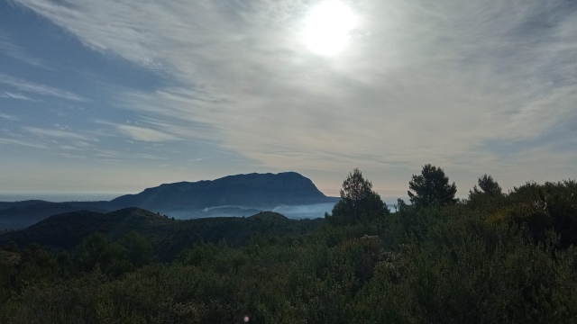
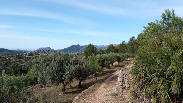
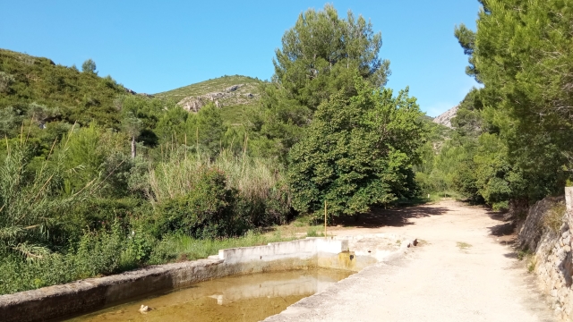
Throughout the entire route, we can enjoy the natural beauty of the area and the intricate terrain of this part of the province of Alicante, with impressive views of the Mediterranean Sea, as well as discover a cultural heritage expressed through dry-stone architecture.

Trail:
One way (point-to-point)
Technical data:
Length:
3,70 km
Estimated walking time:
01:20:00
Elevation gain:
220 m
Elevation loss:
160 m
MIDE ratings:
Level of natural risks:
1
Navigation on the trail:
2
Hiking difficulty:
2
Fitness level needed:
2

More information at Montaña Segura

Difficulty rating according to FEDME:
Unknown
Useful information:
Date of certification:
15-10-1996
Date of the last Quality Control:
january de 2026
Reference municipality:
District:
Province:
Alicante/Alacant
Cartography IGN MTN25:
0822-2

You can download them from the IGN Map Library Catalog

See other trails of this promoter:
Weather information:
Nearest AVAMET weather station
Key points of the route:

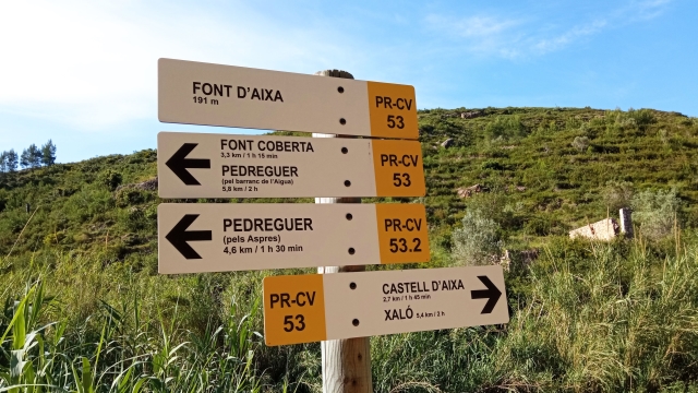
Balsa de la fuente de Aixa (pond) - Collado de las fuentes de Aixes (col)- Detour to camino dels Pouets / la Ponderosa (PR-CV 53.1 connection) - Barranco de les Fonts (ravine) (PR-CV 53.1 connection) - PR-CV 53.3 connection - Collado del camino Pouets (col) -PR-CV 53.1 connection

Route description (only available in Spanish)

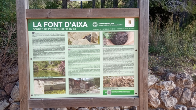
Desde la fuente de Aixa y su balsa caminaremos por la pista rumbo este, junto a la balsa para, a la altura de la primera casa tomar un camino a nuestra izquierda que bordea una casa y se adentra en la pinada. Al final de la senda llegaremos a una pista que seguiremos a la izquierda y en la siguiente curva tomar una nueva senda de nuevo a la izquierda.

Desde este punto, rodearemos unos bancales de almendros y olivares hasta encontrarnos con un sendero que nos llega desde la izquierda donde continuaremos recto. Poco después pasaremos por delante de la casa Migjorn o Granoteta. Avanzaremos por el sendero en descenso hasta llegar al enlace con el PR-CV 53.1.

Downloads:

Beware! Navigation devices may fail, batteries may run out of power and devices may break down. Do not use only electronic means to track your activities in the mountains; they must be used as a complement to the map and compass. Get some proper training and enjoy the mountains.

Other trails connecting with this trail