Rate this trail

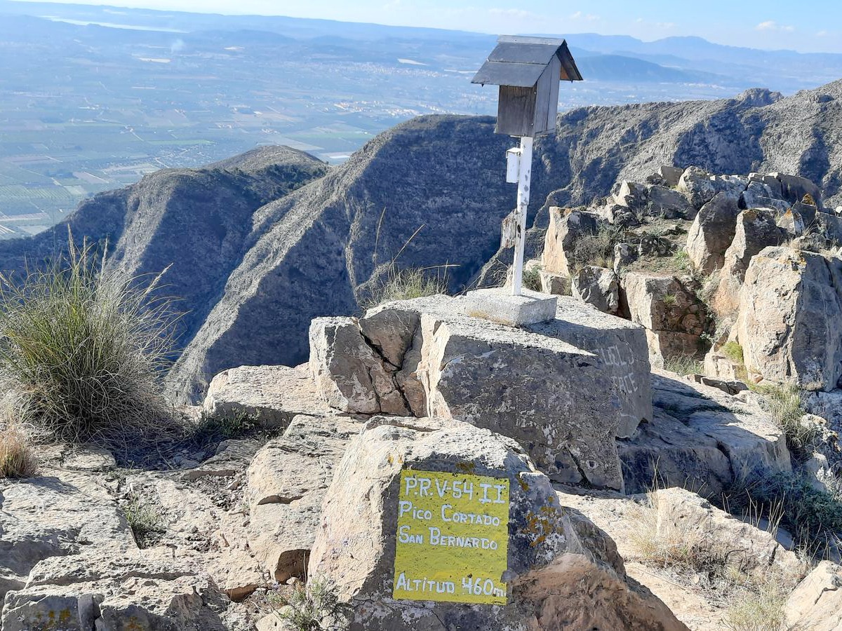
PR-CV 54.2 PICO SAN BERNARDO

Promoter: Ayuntamiento de Callosa de Segura y Club Amigos de la Sierra

Certification status: Positive quality control

0 reviews

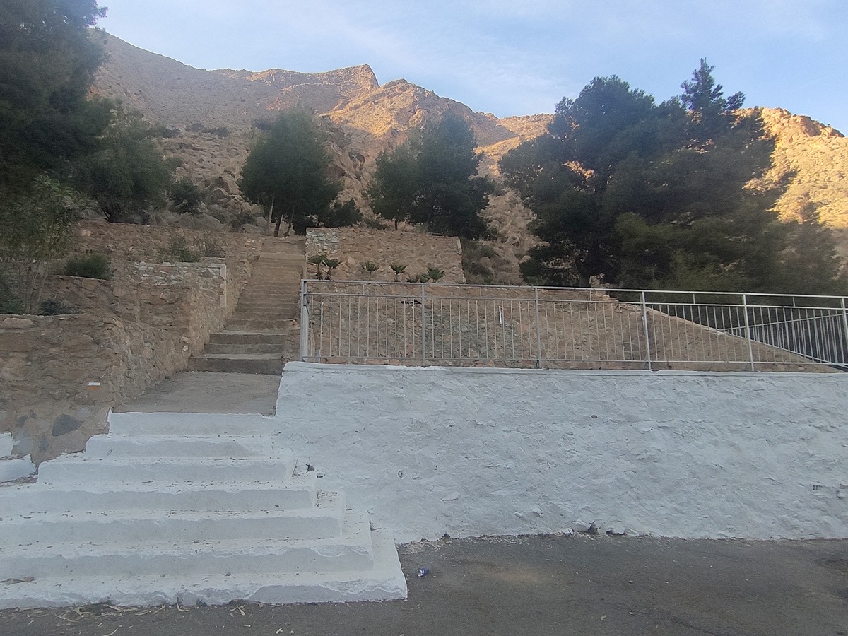
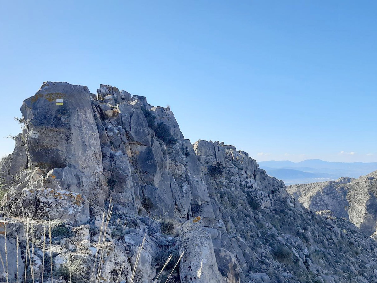
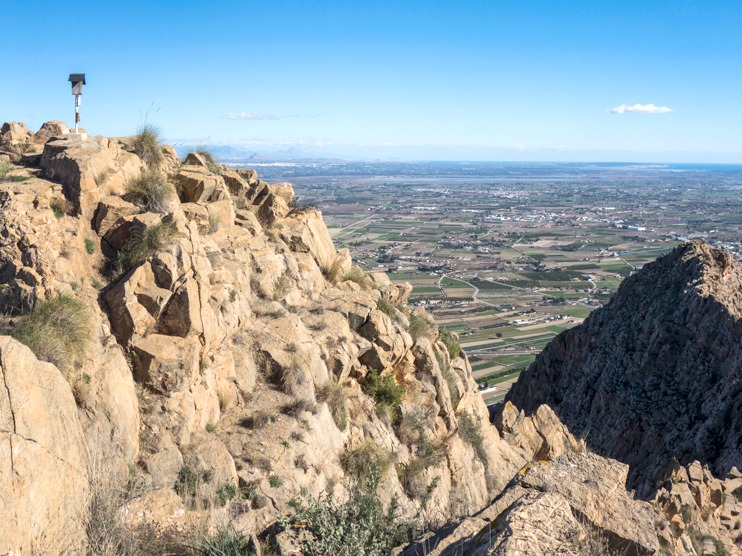
This spur trail will take you to the summit of Pico San Bernardo, where you will need a certain amount of skill to make your way through the ridge.

Trail:
One way (point-to-point)
Technical data:
Length:
1,30 km
Estimated walking time:
00:50:00
Elevation gain:
320 m
Elevation loss:
30 m
MIDE ratings:
Level of natural risks:
3
Navigation on the trail:
3
Hiking difficulty:
4
Fitness level needed:
1

More information on Montaña Segura

Difficulty rating according to FEDME:
Unknown
Useful information:
Date of certification:
27-01-2001
Date of the act of registration in the Public Register:
22-05-2007
Date of the last Quality Control:
may de 2023
Reference municipality:
Province:
Alicante/Alacant
Cartography IGN MTN25:
0913-2

Downloadable from the Catalogue of the IGN Map Library

Protected Natural Spaces:

We advise you to look up the regulations and/or authorisations for using the trails in these conservation areas on the website of the Conselleria de Medio Ambiente, Agua, Infraestructuras y Territorio

  • Barranco de Enmedio (Flora Micro-reserve)
  • La Pilarica-Sierra de Callosa (Municipal Natural Site)
  • Serres del Sud d'Alacant (SPAB - Special Protection Area for Birds)
  • Sierra de Callosa de Segura (SIC - Site of Community Interest)
  • Sierra de Callosa de Segura (SAC - Special Area of Conservation)
Key points of the route:

Ermita de Nuestra Sra. del Pilar (chapel) - Collado de la Plana (col) - Pico San Bernardo Peak

Route description (only available in Spanish)

Desde la ermita de Nuestra Señora del Pilar subiremos las gradas que nos llevarán del barranco del Romeral hasta el collado de la Plana. Una vez en él, nos desviamos a la derecha por la cresta de la sierra hacia el pico Cortado o San Bernardo. Lo reconoceremos por la pequeña cúpula que existe en el pico en honor a dicho santo.

Downloads:

Beware! Navigation devices may fail, batteries may run out of power and devices may break down. Do not use only electronic means to track your activities in the mountains; they must be used as a complement to the map and compass. Get some proper training and enjoy the mountains.