Rate this trail

PR-CV 60d1 DERIVACIÓN ALTO DE LA ALDAIA

Promoter: Ayuntamiento de Barx

Certification status: Positive quality control

1 review

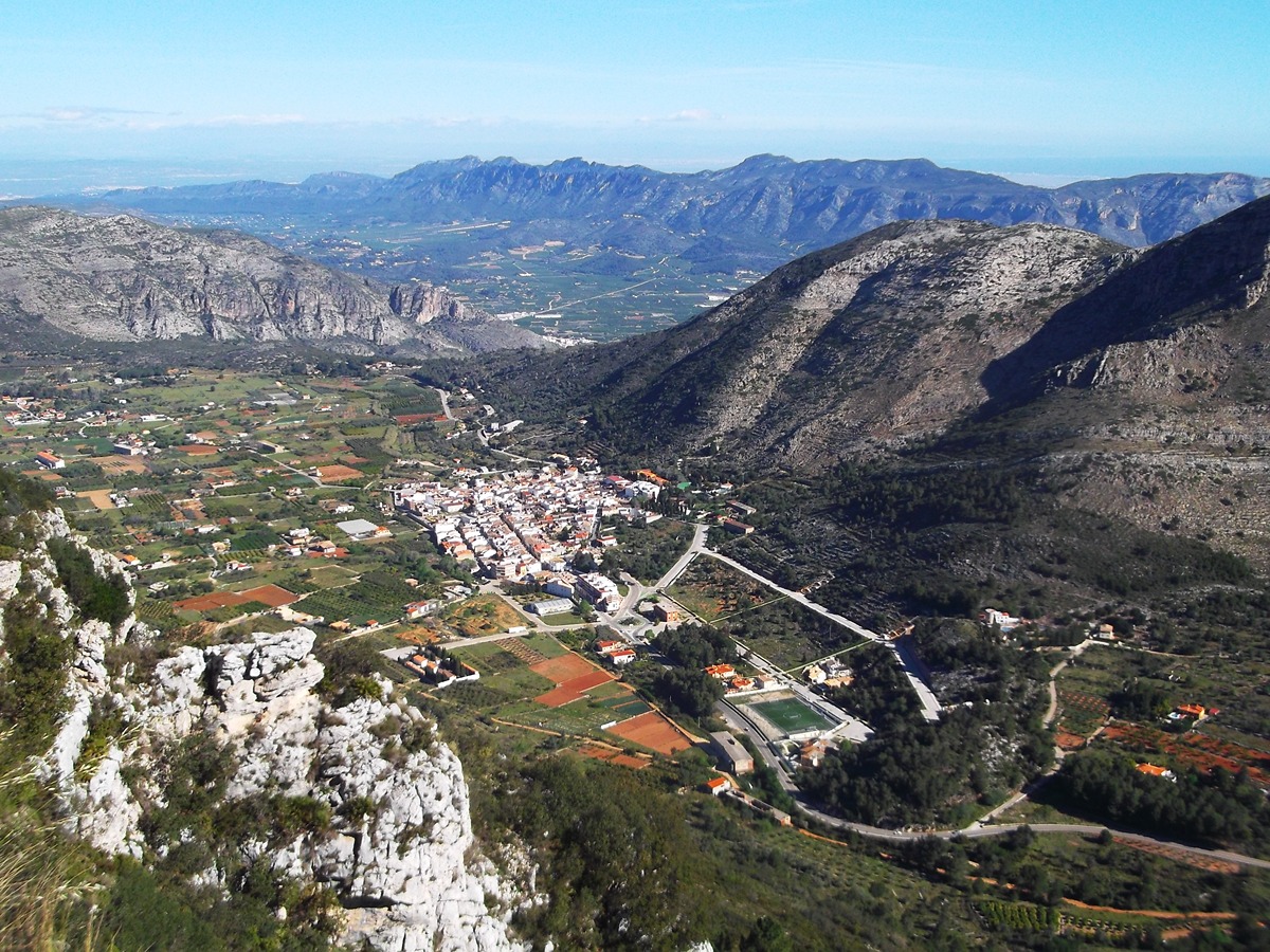
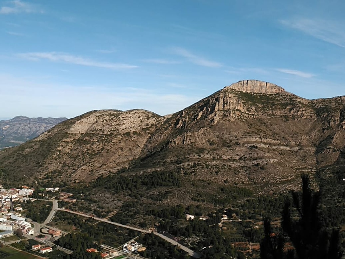
Circular route that allows us to approach the Alto de la Aldaia with spectacular views of the town of Barx and the neighboring mountain range of Montdúver.

Trail:
Loop with some overlapping out and back sections
Technical data:
Length:
1,30 km
Estimated walking time:
00:30:00
Elevation gain:
75 m
Elevation loss:
75 m
MIDE ratings:
Level of natural risks:
2
Navigation on the trail:
2
Hiking difficulty:
2
Fitness level needed:
1

More information on Montaña Segura

Difficulty rating according to FEDME:
Unknown
Starting point:
Useful information:
Date of certification:
15-10-1994
Date of the act of registration in the Public Register:
22-05-2007
Date of the last Quality Control:
november de 2024
Reference municipality:
Otros municipios por los que transcurre:
District:
Province:
Valencia/València
Cartography IGN MTN25:
0770-4; 0795-2

Downloadable from the Catalogue of the IGN Map Library

See other trails of this promoter:
Protected Natural Spaces:

We advise you to look up the regulations and/or authorisations for using the trails in these conservation areas on the website of the Conselleria de Medio Ambiente, Agua, Infraestructuras y Territorio

  • El Surar (Municipal Natural Site)
  • Montdúver - Marjal de la Safor (SPAB - Special Protection Area for Birds)
  • Serra del Motduver i Marxuquera (SIC - Site of Community Interest)
  • Serres del Montdúver i Marxuquera (SAC - Special Area of Conservation)
Key points of the route:

Pla de les Simes (PR-CV 60 connection) – Start of circular section – Sima de Aldaia (chasm) – Alto de la Aldaia (peak) – End of circular section- Pla de les Simes (PR-CV 60 connection)

Route description (only available in Spanish)

Desde el Pla de les Simes iniciamos el ascenso hasta el punto de unión del tramo circular. Nosotros continuamos por la derecha para pasar por la sima de la Aldaia antes de llegar al alto del mismo nombre.

La bajada, por la otra vertiente nos conduce de nuevo al punto de inicio del tramo circular y de aquí al PR-CV 60.

Downloads:

Beware! Navigation devices may fail, batteries may run out of power and devices may break down. Do not use only electronic means to track your activities in the mountains; they must be used as a complement to the map and compass. Get some proper training and enjoy the mountains.