Rate this trail

PR-CV 60d2 DERIVACIÓN A LA FONT DE LA PUIGMOLA

Promoter: Ayuntamiento de Barx

Certification status: Positive quality control

0 reviews

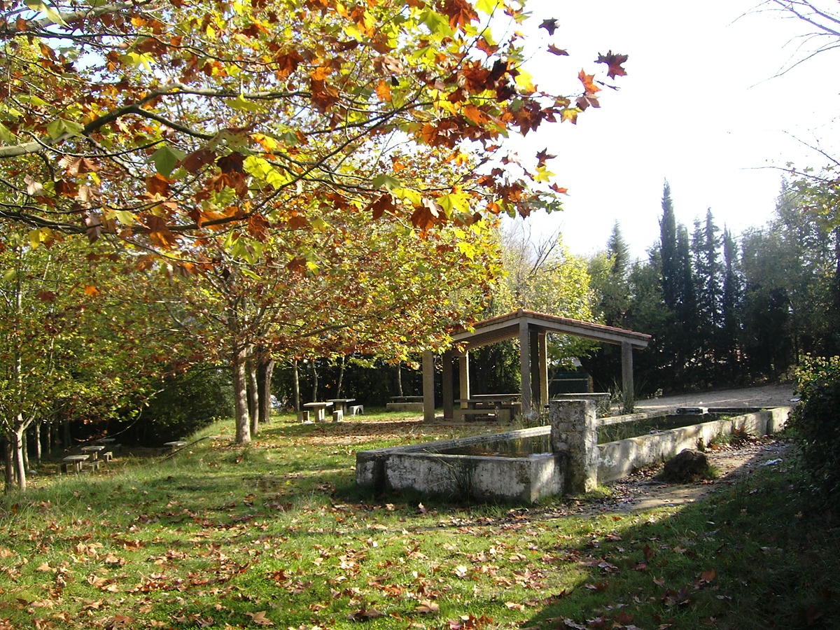
Derivation that, following the Assegador path with the attraction of its fountains, brings us closer to the Puigmola fountain and its recreational area.

Trail:
One way (point-to-point)
Technical data:
Length:
1,00 km
Estimated walking time:
00:20:00
Elevation gain:
25 m
Elevation loss:
35 m
MIDE ratings:
Level of natural risks:
1
Navigation on the trail:
2
Hiking difficulty:
1
Fitness level needed:
1

More information on Montaña Segura

Difficulty rating according to FEDME:
Unknown
Starting point:
Useful information:
Date of certification:
15-10-1994
Date of the act of registration in the Public Register:
22-05-2007
Date of the last Quality Control:
november de 2024
Reference municipality:
District:
Province:
Valencia/València
Cartography IGN MTN25:
0770-4; 0795-2

Downloadable from the Catalogue of the IGN Map Library

See other trails of this promoter:
Key points of the route:

Fuente de la Benita (GR 236 and GR 236.1 connection) (spring) – Fuente del Molí (spring) – Fuente de la Junquera (spring) – Fuente dels Gamellons (spring) – Senda área recreativa dels Truxeros (path) – Fuente de la Puigmola (spring)

Route description (only available in Spanish)

Desde la fuente de la Benita seguimos el camino de l'Assegador en dirección noroeste pasando por distintas fuentes hasta llegar al área recreativa de la fuente de la Puigmola.

Downloads:

Beware! Navigation devices may fail, batteries may run out of power and devices may break down. Do not use only electronic means to track your activities in the mountains; they must be used as a complement to the map and compass. Get some proper training and enjoy the mountains.

Other trails connecting with this trail