Rate this trail

PR-CV 77.1 ENLACE PR-CV 77 A LORIGUILLA

Promoter: Ayuntamiento de Chulilla

Certification status: No quality controls

0 reviews
Trail:
One way (point-to-point)
Technical data:
Length:
3,50 km
Estimated walking time:
01:00:00
Elevation gain:
Unknown
Elevation loss:
Unknown
MIDE ratings:
Level of natural risks:
Unknown
Navigation on the trail:
2
Hiking difficulty:
Unknown
Fitness level needed:
Unknown

More information on Montaña Segura

Difficulty rating according to FEDME:
Unknown
Starting point:
Enlace PR-CV 77
End Point:
Ctra. CV-3960
Useful information:
Reference municipality:
District:
Province:
Valencia/València
Cartography IGN MTN25:

Downloadable from the Catalogue of the IGN Map Library

See other trails of this promoter:
Key points of the route:

Connection PR-CV 77, Vereda de Castilla - Road from Liriguilla to Sot de Chera - Collado Cullibres (col) - El Fandarin - Pantano de Loriguilla (reservoir) - CV-3960 road.

Downloads:

Beware! Navigation devices may fail, batteries may run out of power and devices may break down. Do not use only electronic means to track your activities in the mountains; they must be used as a complement to the map and compass. Get some proper training and enjoy the mountains.

Other trails connecting with this trail
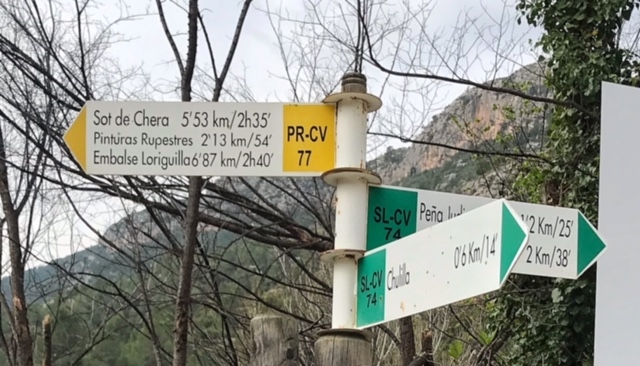