Rate this trail

PR-CV 78.1 AL CASTELL PER LA SOLANA

Promoter: Ayuntamiento de Xàtiva

Certification status: Valid

0 reviews

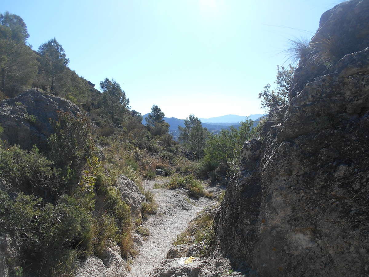
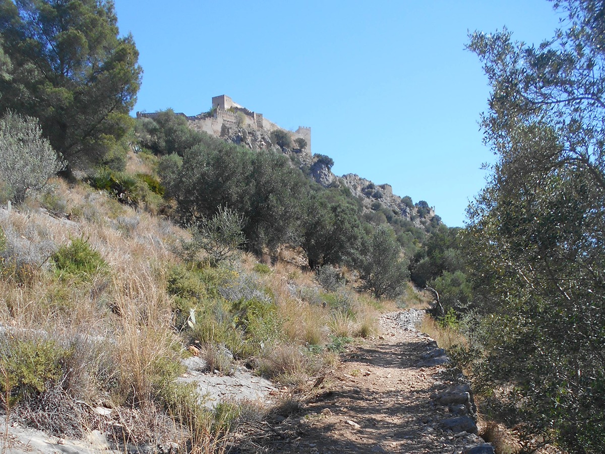
After leaving the Roman road of Portet you will reach an orange grove. Follow a path through typical Mediterranean forest until you reach a track that takes you to the castle and then by road to La Nevera.

Trail:
One way (point-to-point)
Technical data:
Length:
4,60 km
Estimated walking time:
01:30:00
Elevation gain:
415 m
Elevation loss:
265 m
MIDE ratings:
Level of natural risks:
1
Navigation on the trail:
2
Hiking difficulty:
2
Fitness level needed:
2

More information on Montaña Segura

Difficulty rating according to FEDME:
Unknown
Starting point:
Interest Tags:
Trail with historical-artistic interest

Useful information:
Date of certification:
26-05-2023
Reference municipality:
District:
Province:
Valencia/València
Cartography IGN MTN25:
0794-2, 0795-1

Downloadable from the Catalogue of the IGN Map Library

See other trails of this promoter:
Protected Natural Spaces:

We advise you to look up the regulations and/or authorisations for using the trails in these conservation areas on the website of the Conselleria de Medio Ambiente, Agua, Infraestructuras y Territorio

  • Serra del Castell (Flora Micro-reserve)
  • Serra del Castell de Xátiva (SIC - Site of Community Interest)
Key points of the route:

PR-CV 78. CamÍ del Portet (path) - Llomes Planes (peak) - Corral de Mateu (corral) - Barranc de la Solana (ravine) - La Solana - Porta del Socorro - fort - Cova dels Lleons (cave) - Ctra. del Castell - PR-CV 78. La Nevera

Route description (only available in Spanish)

Tras recorrer el Portet, llegamos al inicio de la variante. Por una senda bien marcada entramos en un pequeño bosque muy tupido de típica vegetación mediterránea. En ligero descenso y por el margen derecho del barranco de la Solana llegamos a un claro donde giramos a la izquierda hasta alcanzar una pista ancha de tierra que ya no abandonaremos en unos centenares de metros hasta la subida a la puerta de Socorro. Esta senda va en ligero ascenso con un zig-zag en el último tramo que suaviza la fuerte pendiente y alcanzar el Castell. Las vistas son muy bonitas: Benicadell, Montcabrer, Mondúber y todas las montañas del valle de la Murta. El descenso se realiza por carretera hasta un punto que en un giro brusco hacia poniente por senda ancha llegamos a la Nevera y el PR-CV 78.

Downloads:

Beware! Navigation devices may fail, batteries may run out of power and devices may break down. Do not use only electronic means to track your activities in the mountains; they must be used as a complement to the map and compass. Get some proper training and enjoy the mountains.

Comments:

Hay que tener en cuenta el horario del Castillo para no realizar el ascenso y encontrarnos con la puerta cerrada.