Rate this trail

SL-CV 100 MICRORESERVA DE LES COVES

Promoter: Ayuntamiento de Montserrat

Certification status: Positive quality control

0 reviews

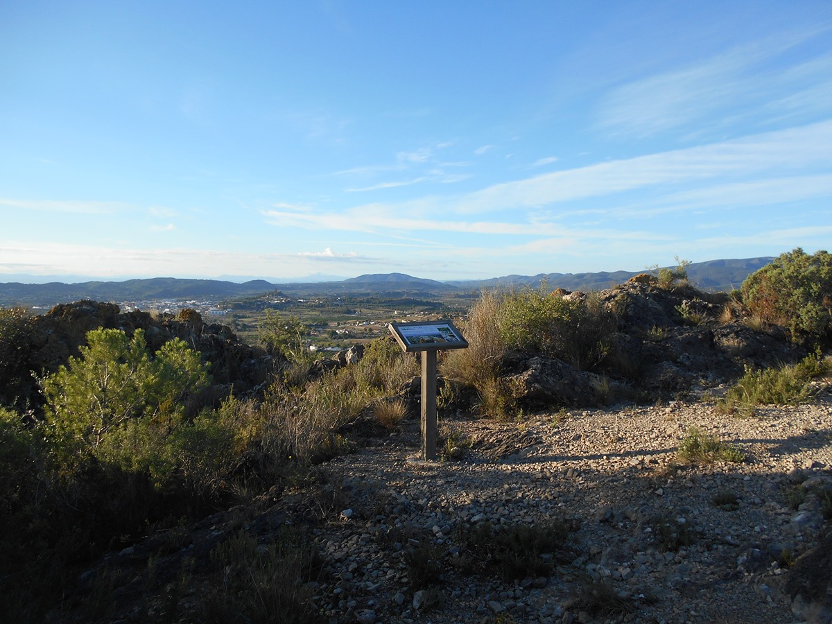
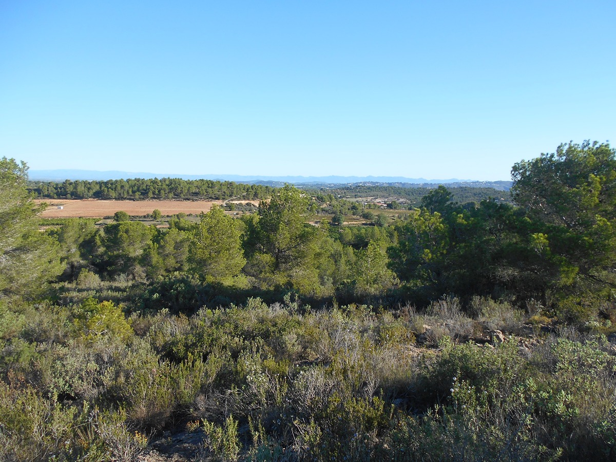
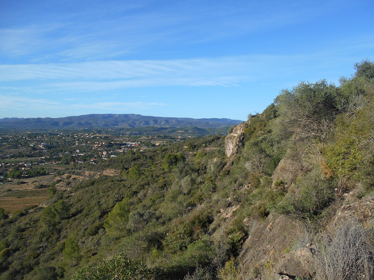
The SL-CV 100 trail runs through the Les Coves Flora micro-reserve. The information tables and thematic footpaths along the entire path offer a closer look of the botanical richness of this micro-reserve, which is home to a great variety of species where the white pine and Mediterranean scrubland such as rosemary, kermes oaks and mastic trees predominate along with other less common flora and valuable endemic species.

Trail:
Loop with some overlapping out and back sections
Technical data:
Length:
1,40 km
Estimated walking time:
00:35:00
Elevation gain:
85 m
Elevation loss:
85 m
MIDE ratings:
Level of natural risks:
1
Navigation on the trail:
2
Hiking difficulty:
2
Fitness level needed:
1

More information on Montaña Segura

Difficulty rating according to FEDME:
Unknown
Useful information:
Date of certification:
15-03-2008
Date of the act of registration in the Public Register:
02-06-2009
Date of the last Quality Control:
september de 2023
Reference municipality:
District:
Province:
Valencia/València
Cartography IGN MTN25:
0721-4

Downloadable from the Catalogue of the IGN Map Library

See other trails of this promoter:
Protected Natural Spaces:

We advise you to look up the regulations and/or authorisations for using the trails in these conservation areas on the website of the Conselleria de Medio Ambiente, Agua, Infraestructuras y Territorio

  • Les Coves (Flora Micro-reserve)
Key points of the route:

Start panel - Start point of the circular section - Panoramic view - Finish point of the circular section - Start panel

Route description (only available in Spanish)

Desde el panel de inicio cogemos la senda que sube en dirección suroeste entre matorrales y pinos. Antes de llegar al alto de la loma encontramos el poste de la bifurcación del tramo circular. Seguimos el sendero por la izquierda (la de la derecha es por la que volveremos) y continuamos ascendiendo. Encontraremos una mesa de interpretación en la parte alta donde la senda gira a la derecha y empieza a descender. Vuelve a girar y en suave ascenso hasta que llegamos de nuevo al poste de la bifurcación antes mencionado desde donde volvemos al inicio por el mismo camino.

Downloads:

Beware! Navigation devices may fail, batteries may run out of power and devices may break down. Do not use only electronic means to track your activities in the mountains; they must be used as a complement to the map and compass. Get some proper training and enjoy the mountains.