Rate this trail

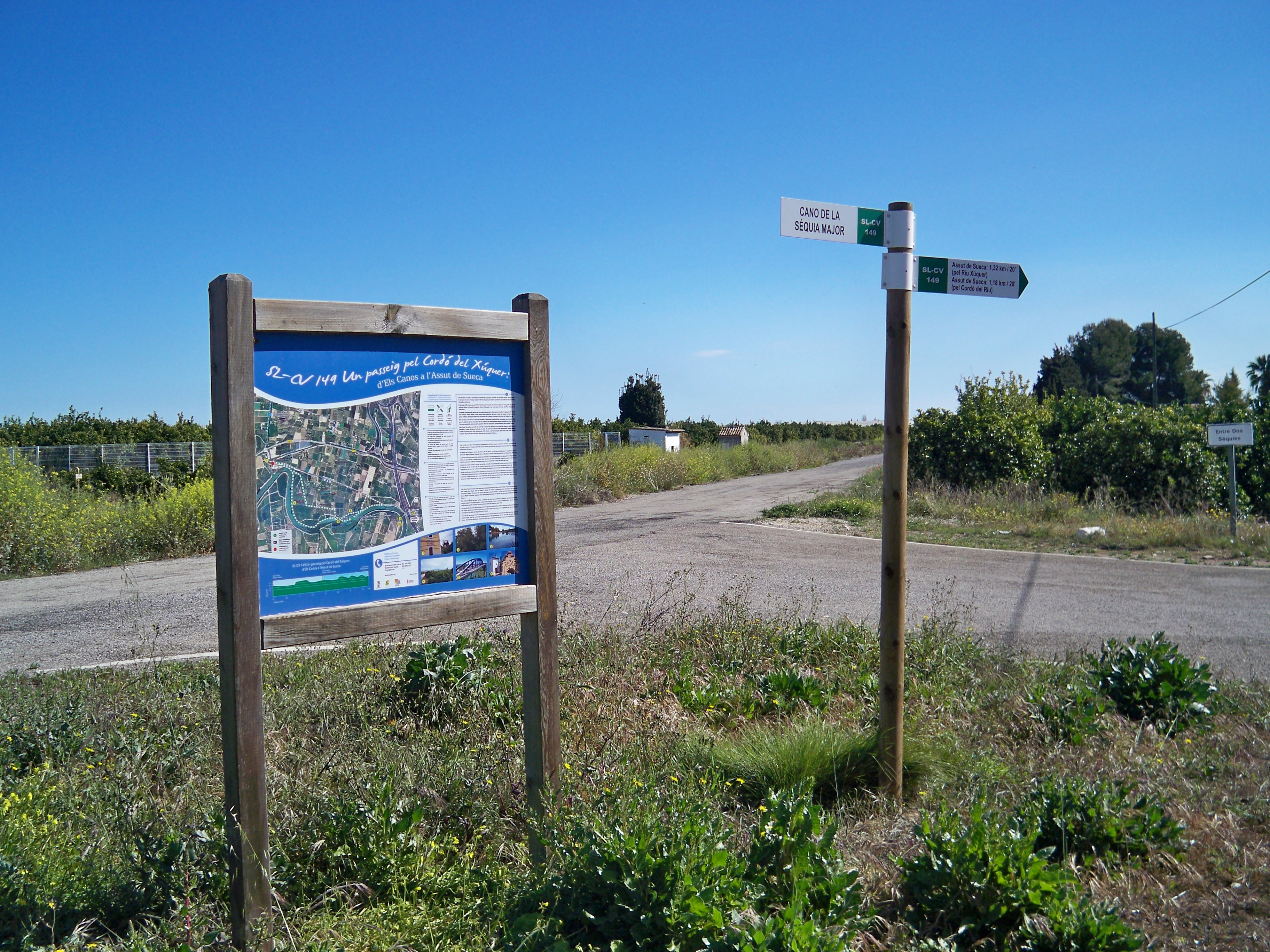
SL-CV 149 UN PASSEIG PEL CORDÓ DEL XÚQUER. DELS CANOS A L'ASSUT DE SUECA

Promoter: Ayuntamiento de Sueca

Certification status: Valid

2 reviews

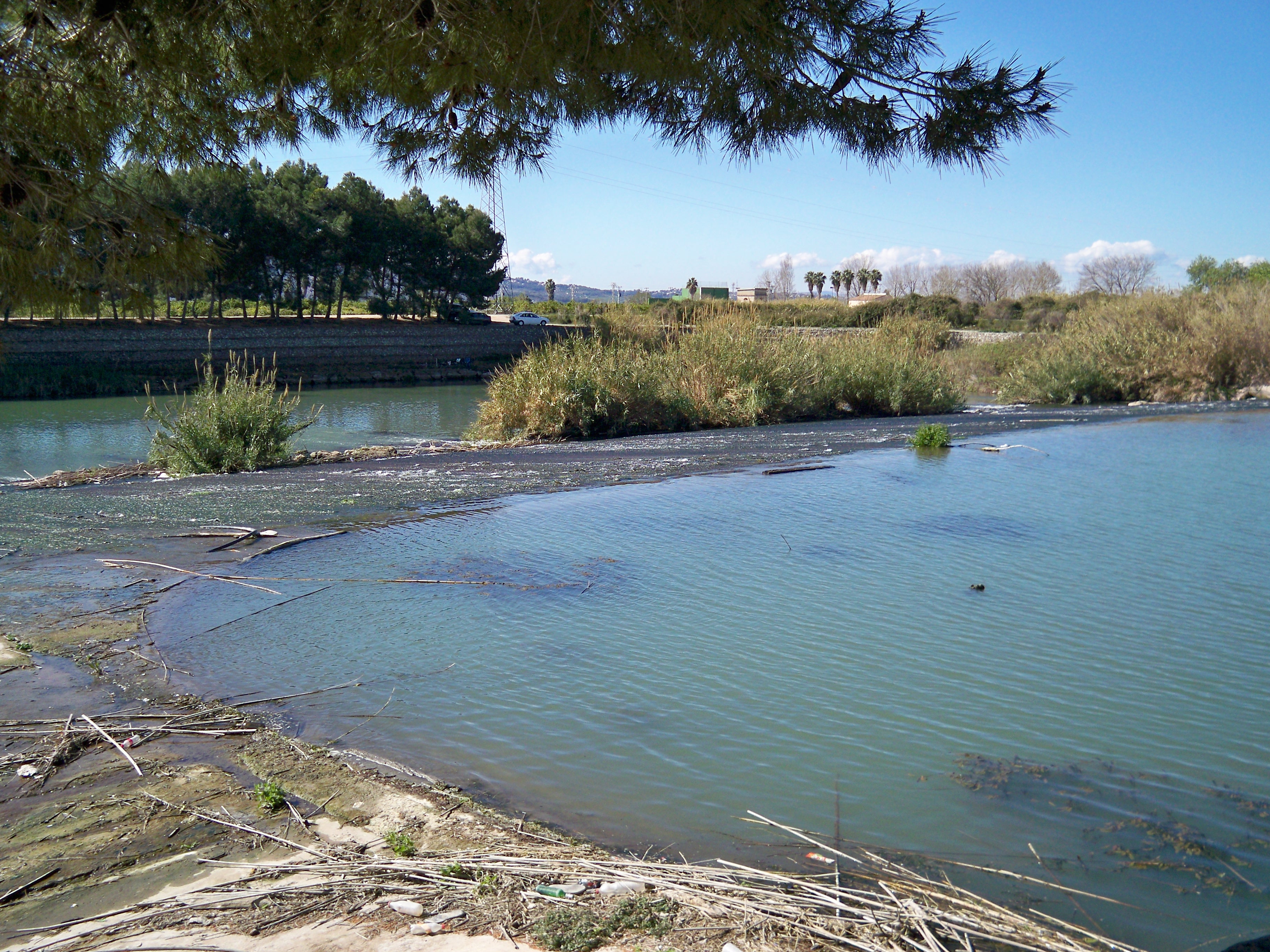
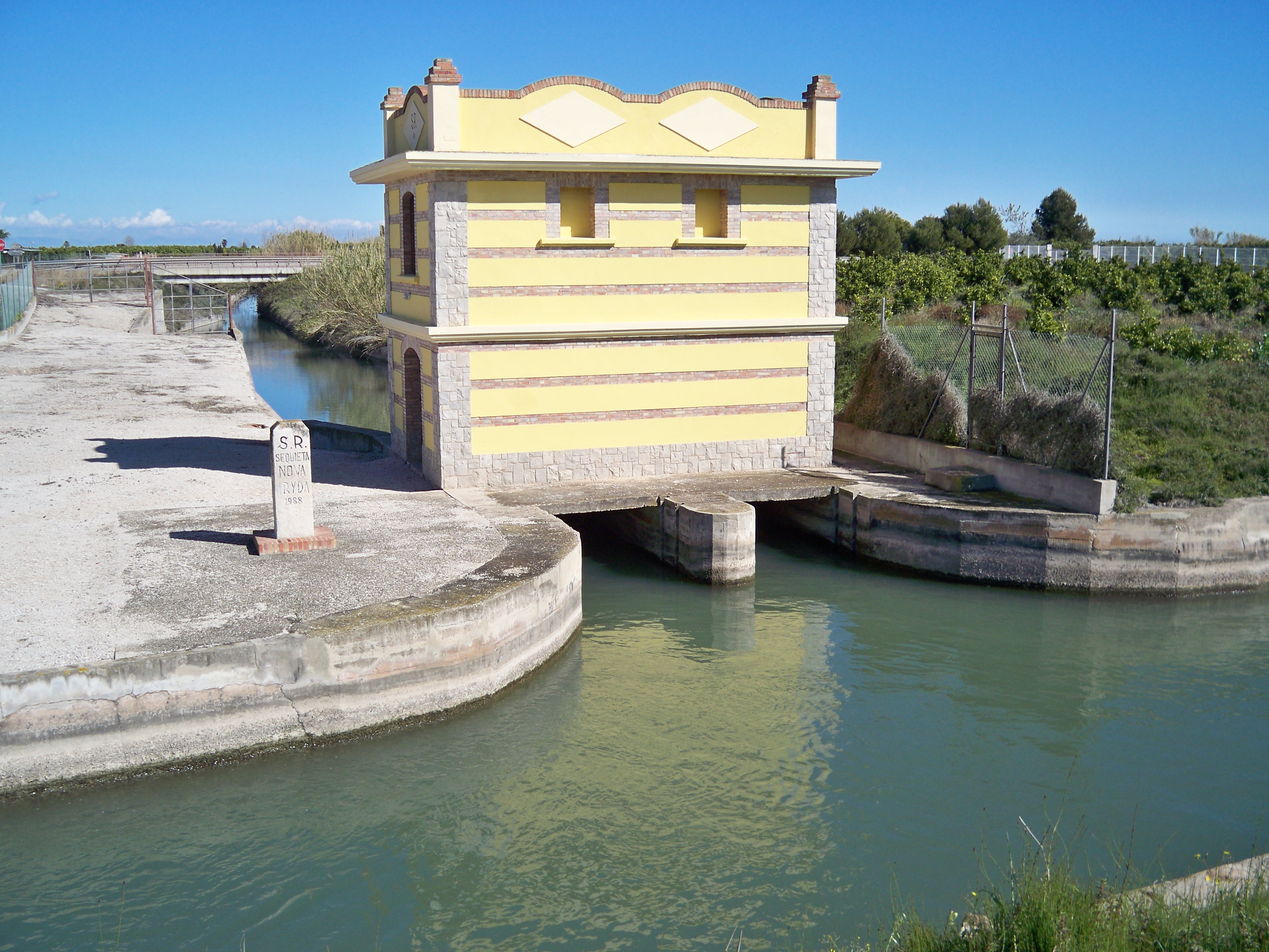
This trail starts from Els Canos, the gate separating the different stretches of the Acequia Mayor, which irrigates the area of Sueca. This path runs along the bunds of the Xúquer river that serve as a protection from floods and leads to the Sueca weir and its recreational area to showcase the cultural and natural heritage associated with the culture of water.

Trail:
Loop
Technical data:
Length:
3,80 km
Estimated walking time:
01:00:00
Elevation gain:
30 m
Elevation loss:
30 m
MIDE ratings:
Level of natural risks:
1
Navigation on the trail:
2
Hiking difficulty:
1
Fitness level needed:
2

More information on Montaña Segura

Difficulty rating according to FEDME:
Unknown
Starting point:
Useful information:
Date of certification:
15-05-2016
Date of the act of registration in the Public Register:
01-09-2016
Reference municipality:
District:
Province:
Valencia/València
Cartography IGN MTN25:
0747-4

Downloadable from the Catalogue of the IGN Map Library

See other trails of this promoter:
Protected Natural Spaces:

We advise you to look up the regulations and/or authorisations for using the trails in these conservation areas on the website of the Conselleria de Medio Ambiente, Agua, Infraestructuras y Territorio

  • Riu Xúquer (SIC - Site of Community Interest)
Key points of the route:

Casa del Cano (old rural house) - Assut de Sueca (weir) - Camino del Cordó del Riu (path) - Assut de Sueca (weir) - Camino del Molí del Riu (path) - Casa del Cano (old rural house)

Route description (only available in Spanish)

Desde Els Canos seguimos el margen izquierdo del río Júcar por la mota de contención hasta el Assut de Sueca y su pequeña área recreativa. Continuamos por el camino de tierra paralelo al cauce del Júcar hasta un desvío cerca del Pont de Riola, que seguiremos por la izquierda para volver entre campos de naranjos de nuevo al Assut. Ahora tomamos el camí del Cordó del Riu hasta el camí del Molí del Riu. Poco más adelante está la casa del Cano, final del recorrido. 

Downloads:

Beware! Navigation devices may fail, batteries may run out of power and devices may break down. Do not use only electronic means to track your activities in the mountains; they must be used as a complement to the map and compass. Get some proper training and enjoy the mountains.