Rate this trail

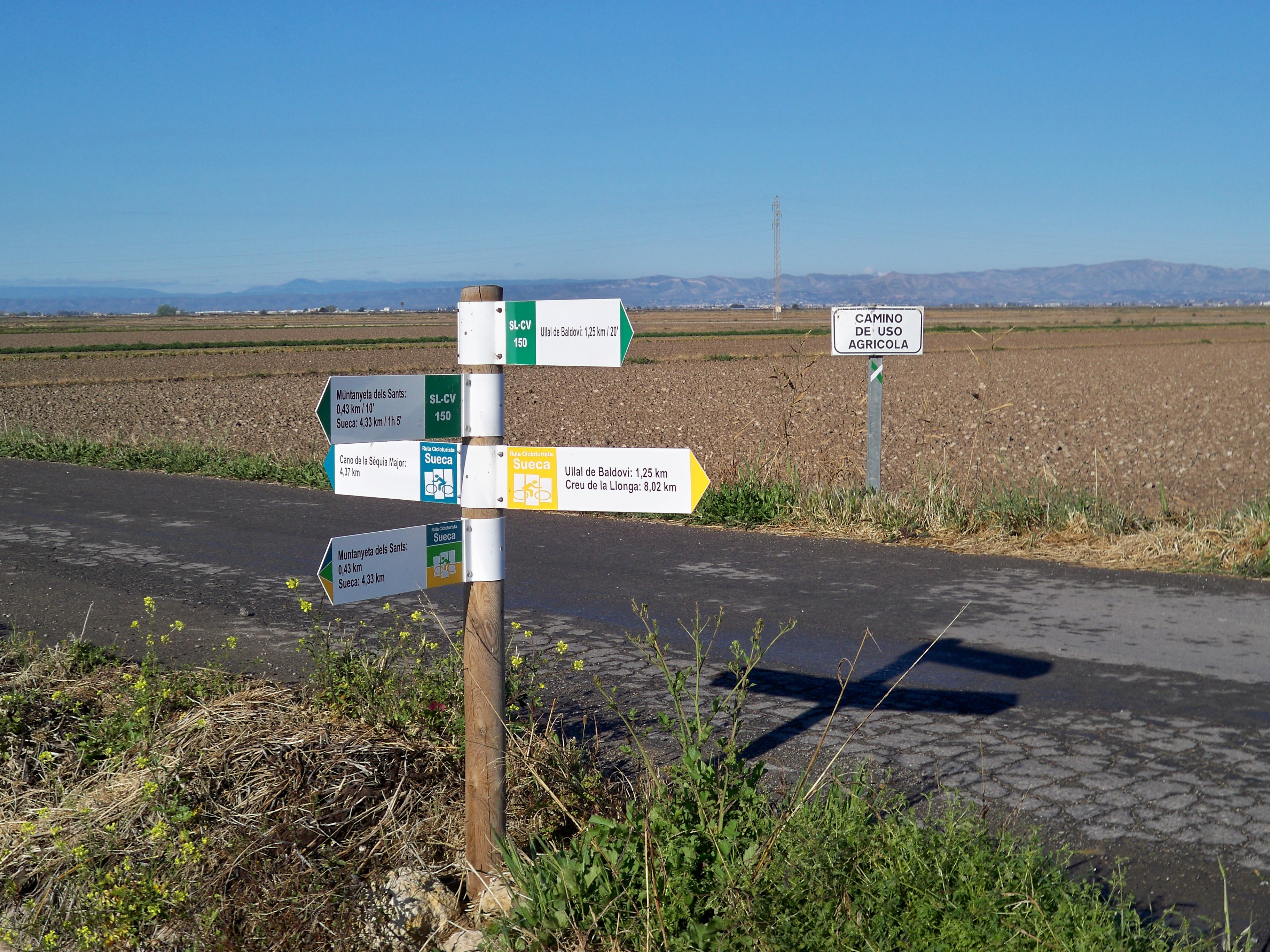
SL-CV 150 UN PASSEIG PER L'ARROSSAR. DE SUECA A LA MUNTANYETA DELS SANTS I A L'ULLAL DE BALDOVÍ

Promoter: Ayuntamiento de Sueca

Certification status: Valid

0 reviews

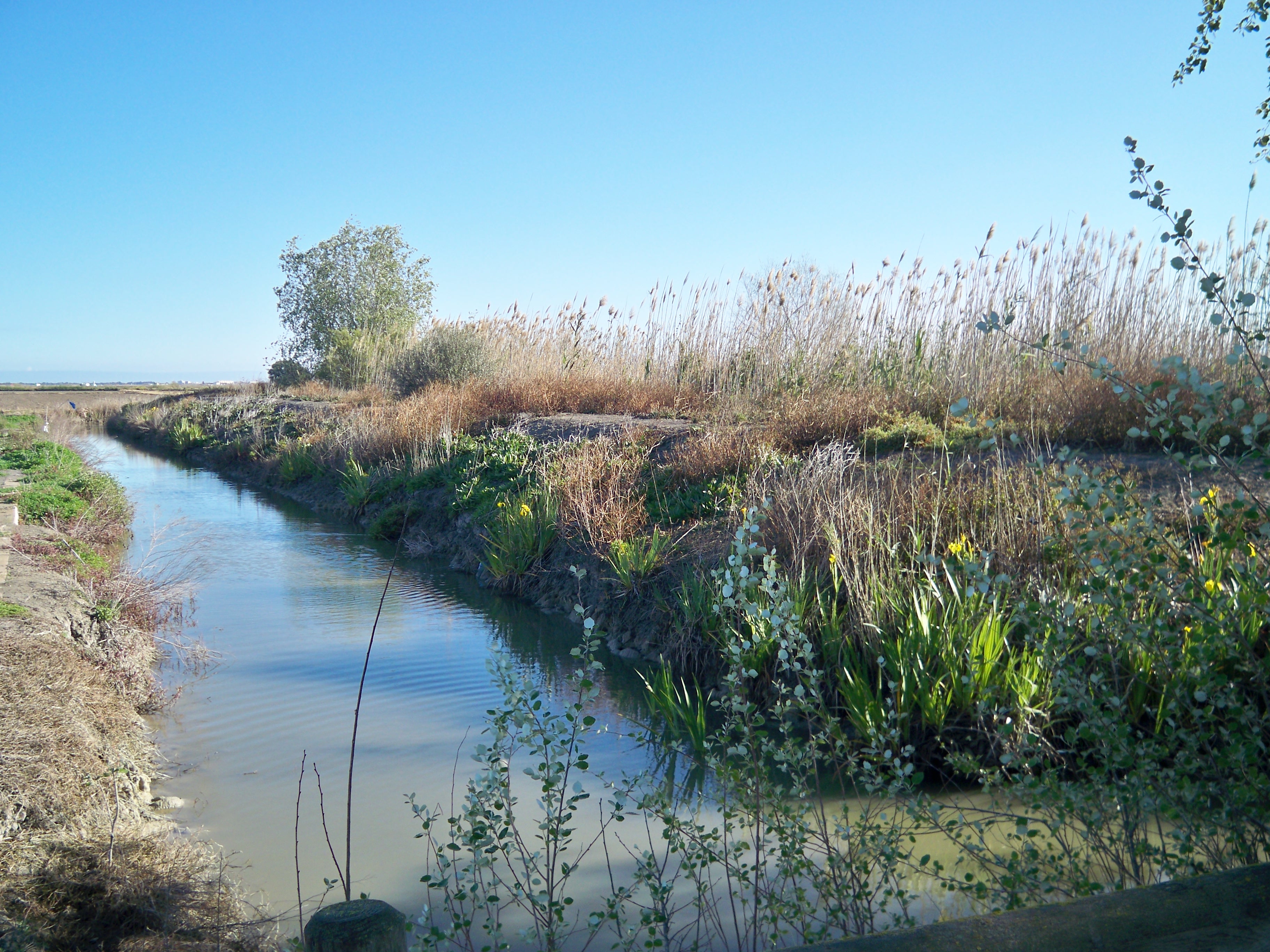
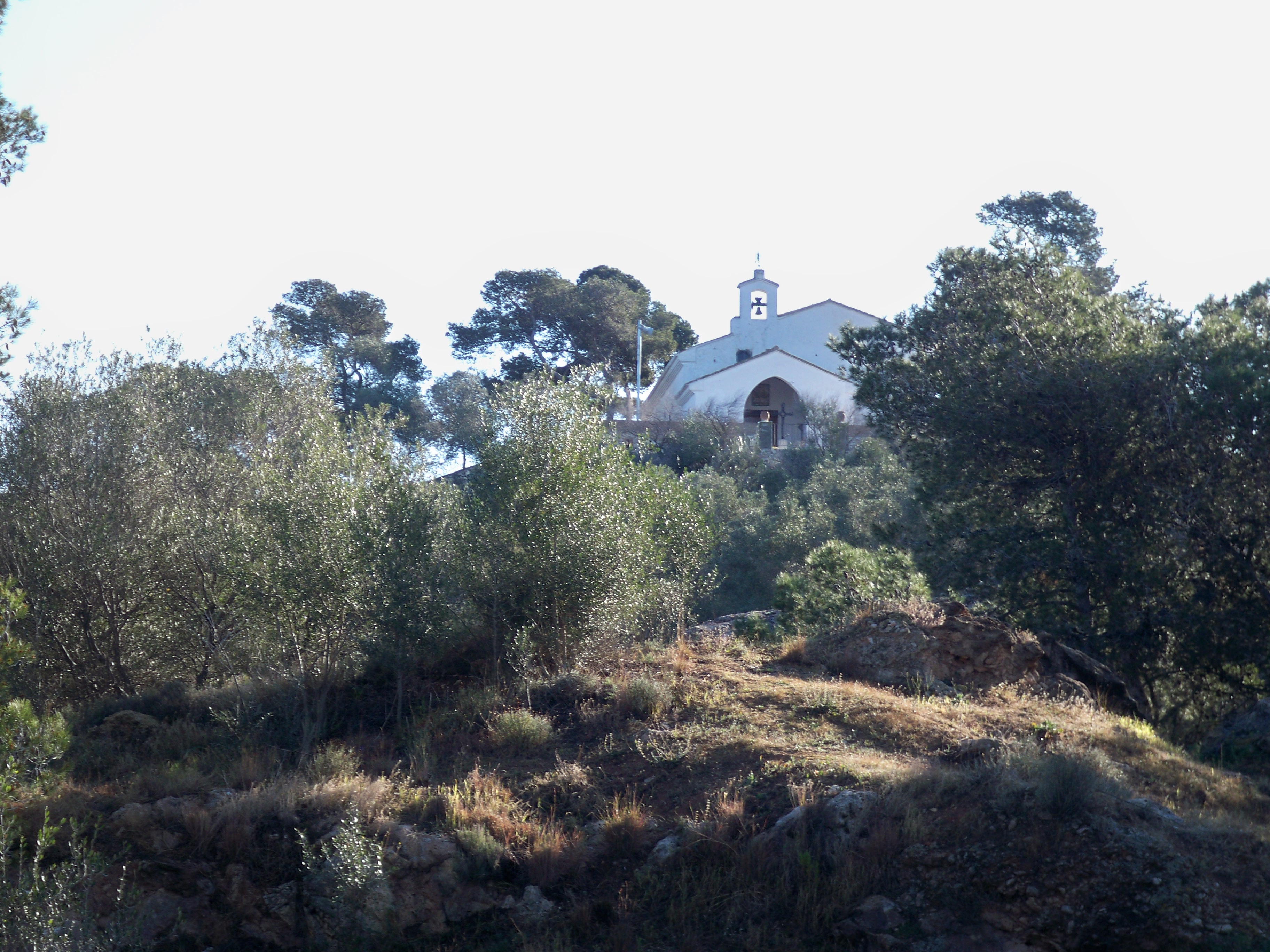
A route that connects the town centre of Sueca with the Muntanyeta dels Sants and Ullal de Balaldoví through the natural and cultural heritage of the municipality of Sueca associated with the scenic value of the rice fields. An ideal trail for families and young children.

Trail:
One way (point-to-point)
Technical data:
Length:
6,80 km
Estimated walking time:
01:25:00
Elevation gain:
10 m
Elevation loss:
15 m
MIDE ratings:
Level of natural risks:
1
Navigation on the trail:
2
Hiking difficulty:
1
Fitness level needed:
2

More information on Montaña Segura

Difficulty rating according to FEDME:
Unknown
Starting point:
End Point:
Interest Tags:
Trail with environmental interes
Useful information:
Date of certification:
15-05-2016
Date of the act of registration in the Public Register:
01-09-2016
Reference municipality:
District:
Province:
Valencia/València
Cartography IGN MTN25:
0747-4

Downloadable from the Catalogue of the IGN Map Library

See other trails of this promoter:
Protected Natural Spaces:

We advise you to look up the regulations and/or authorisations for using the trails in these conservation areas on the website of the Conselleria de Medio Ambiente, Agua, Infraestructuras y Territorio

  • Albufera (SPAB - Special Protection Area for Birds)
  • Muntanyeta dels Sants (Flora Micro-reserve)
Key points of the route:

Sueca RENFE train station - Avda. del Mar (avenue) - La Creu (cross) - Pont dels Sants (bridge) - Muntanyeta dels Sants (hill) - Ullal Gran or de Baldoví (nature reserve)

Route description (only available in Spanish)

Desde la estación de RENFE de Sueca cruzamos la vías por el paso subterráneo hacía la Avenida del Mar, circulando paralelo al carril bici hacia las pedanías de Les Palmeres y Marenyde Barraquetes hasta la Creu donde tomamos el camino rural que da acceso a la Ermita dels Sants. Desde este punto, el itinerario discurre entre campos de arroz y acequias de riego. Alcanzamos la Casa Piso y cruzamos el Pont dels Sants para bordear la Muntanyeta y entrar por la parte de detrás hasta su área recreativa. Volvemos al camino para seguir por la derecha hasta el Caminàs dels Sants, cruce que tomamos a la derecha para entrar por un camino al Ullal Gran o de Baldoví. 

Downloads:

Beware! Navigation devices may fail, batteries may run out of power and devices may break down. Do not use only electronic means to track your activities in the mountains; they must be used as a complement to the map and compass. Get some proper training and enjoy the mountains.