Cambiar idioma a español / Cambiar idioma a english / Cambiar idioma a valencià

Rate this trail

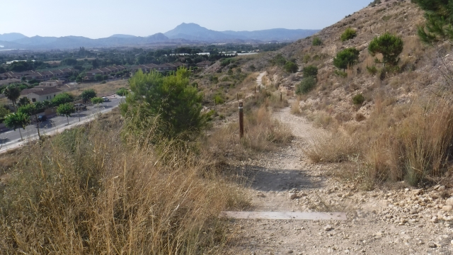
SL-CV 152 EL CANYAR DE LES PORTELLES - CALVARI

Promoter: Ayuntamiento de Mutxamel

Certification status: Positive quality control

0 reviews

Following the inspection carried out by trail technicians, this trail has been declared of "limited adequacy" as a result of the faults detected in the signage. These include inadequate horizontal signs (paint markers) and/or vertical ones (trailheads and information boards) or lacking direction markers that do not provide sufficient information to properly follow the route. The builder of this trail has been informed of the situation.
For safety reasons and during maintenance work, it is advised to be extremely careful while taking this route. Furthermore, mountain sports entail risks associated with the activity itself and the environment where they take place, for which any person is fully liable. For this reason, hikes need to be planned properly and adequate training, equipment and sensible use of the trails are required.

Circular route within the municipality of Mutxamel, with an ascent to the Calvary, a visit to the hermitage located at its summit, and a return along the old water paths, where you can enjoy the ancient farmhouses or alquerías of Mutxamel.

Trail:
Loop
Technical data:
Length:
6,30 km
Estimated walking time:
01:45:00
Elevation gain:
80 m
Elevation loss:
80 m
MIDE ratings:
Level of natural risks:
1
Navigation on the trail:
2
Hiking difficulty:
2
Fitness level needed:
2

More information on Montaña Segura

Difficulty rating according to FEDME:
Unknown
Interest Tags:
Trail with historical-artistic interest

Useful information:
Date of certification:
15-11-2013
Date of the last Quality Control:
july de 2025
Reference municipality:
Otros municipios por los que transcurre:
District:
Province:
Alicante/Alacant
Cartography IGN MTN25:
0872-1; 0872-3

Downloadable from the Catalogue of the IGN Map Library

See other trails of this promoter:
Weather information:
Nearest AVAMET weather station
Key points of the route:

Mutxamel – Iglesia del Salvador (church) - Sendero del Calvario (trail) – Ermita del Calvario (hermitage) – Cima del Calvario (summit)– Campo de futbol municipal (football field )– Camino de la Alquería (path) - Mutxamel

Route description (only available in Spanish)

Desde el parque municipal el Canyar de Portelles, tomamos la calle Francisco Martínez hasta el final, donde giramos a la izquierda para llegar a la iglesia del Salvador. Al pasar la iglesia, giramos a la derecha para visitar la plaza Nova y, seguidamente, otra vez a la derecha por la calle Novelda.

Al final de la calle, giramos a la izquierda por la calle El Salvador, que seguimos hasta alcanzar la entrada del sendero del Calvario. Este asciende de forma suave hasta la ermita del Calvari y, poco después, hasta el cordal de la sierra, el cual seguimos sin desviarnos hasta llegar a la cumbre, donde se encuentra el vértice geodésico.

Desde la cumbre del Calvario, descendemos por un sendero en dirección este hasta llegar a la carretera, que tomamos hacia la izquierda para incorporarnos a la avenida Rafael Altamira. Al llegar a la primera rotonda, giramos a la derecha por la calle Els Oms y luego bajamos por la avenida de Mutxamel hasta acceder al camino de servicio de la autovía.

Seguimos por este camino hasta localizar una ruina a mano izquierda, que nos da acceso al camino de las Alquerías, antiguas casas tradicionales. Al llegar al primer cruce, tomamos el camino de la derecha, el camino de la Princesa, y posteriormente otro camino a la derecha que nos conduce hasta la alquería de Subiela. Tras pasarla, giramos a la izquierda para regresar al parque municipal y finalizar nuestro recorrido.

Downloads:

Beware! Navigation devices may fail, batteries may run out of power and devices may break down. Do not use only electronic means to track your activities in the mountains; they must be used as a complement to the map and compass. Get some proper training and enjoy the mountains.