Rate this trail

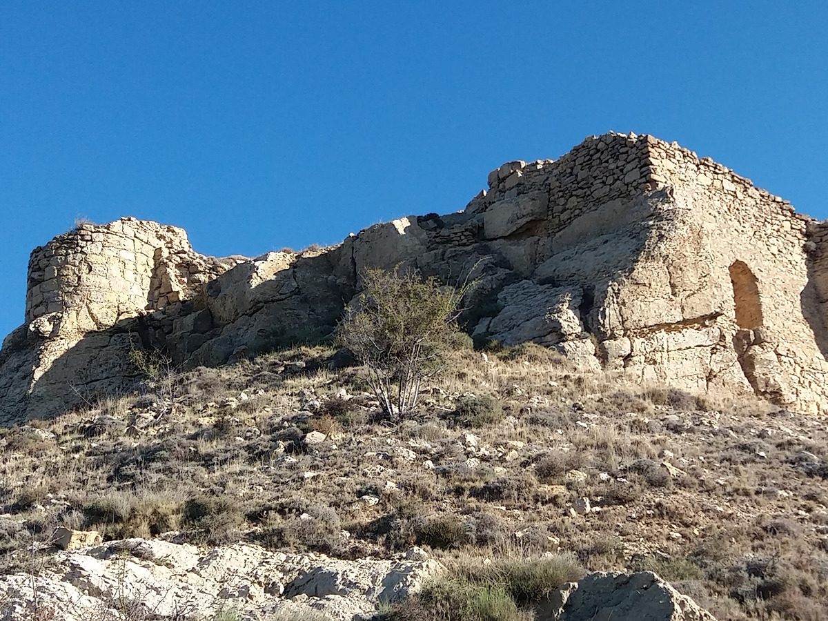
SL-CV 176 CASTILLO DEL POYO

Promoter: Ayuntamiento de Alpuente

Certification status: Valid

15 reviews

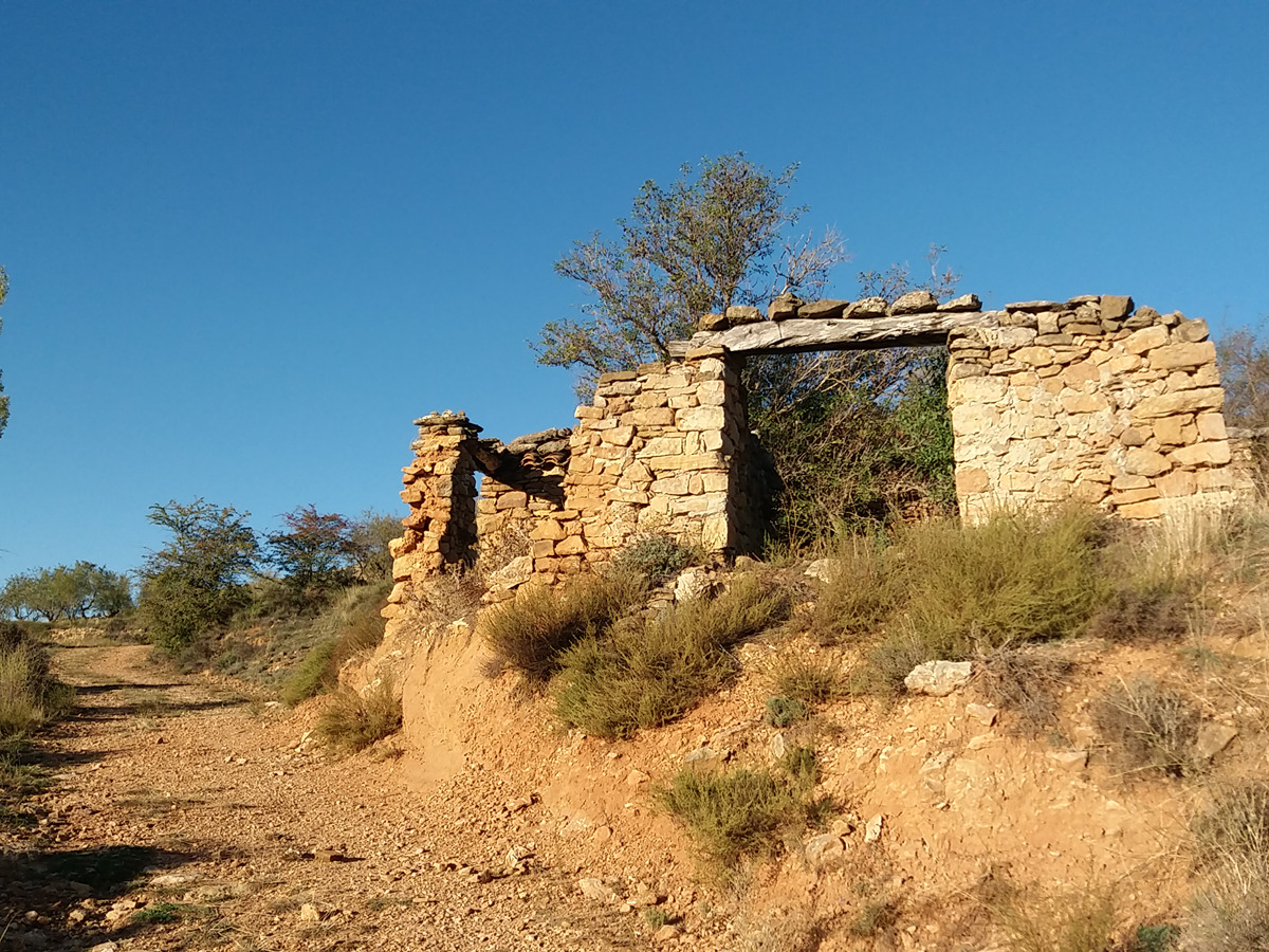
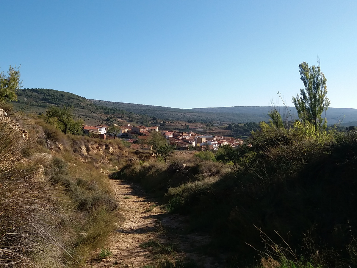
A short and historical trail, which leads from the hamlet of Collado to the castle of Poyo, located on the hill of the same name.

Trail:
One way (point-to-point)
Technical data:
Length:
2,40 km
Estimated walking time:
01:25:00
Elevation gain:
275 m
Elevation loss:
0 m
MIDE ratings:
Level of natural risks:
2
Navigation on the trail:
2
Hiking difficulty:
2
Fitness level needed:
2

More information on Montaña Segura

Difficulty rating according to FEDME:
Unknown
Useful information:
Date of certification:
27-10-2023
Reference municipality:
District:
Province:
Valencia/València
Cartography IGN MTN25:
0638-1

Downloadable from the Catalogue of the IGN Map Library

See other trails of this promoter:
Weather information:
Key points of the route:

El Collado - Camino de Aras (path) - Collado Cabriel (col) - Corral de Confite (corral) - Castillo del Poyo (fort)

Route description (only available in Spanish)

Salimos desde la parte baja de la aldea del Collado, junto al lavadero, por el camino de Aras que remonta paralelo al barranco del Reguero. Alcanzamos el collado Cabriel y en el cruce de caminos giraremos a izquierda para seguir el ascenso por el camino hasta el corral de Confite para incorporarnos a la pequeña senda de subida que sale a izquierda y que nos llevará al Castillo del Poyo.

Downloads:

Beware! Navigation devices may fail, batteries may run out of power and devices may break down. Do not use only electronic means to track your activities in the mountains; they must be used as a complement to the map and compass. Get some proper training and enjoy the mountains.