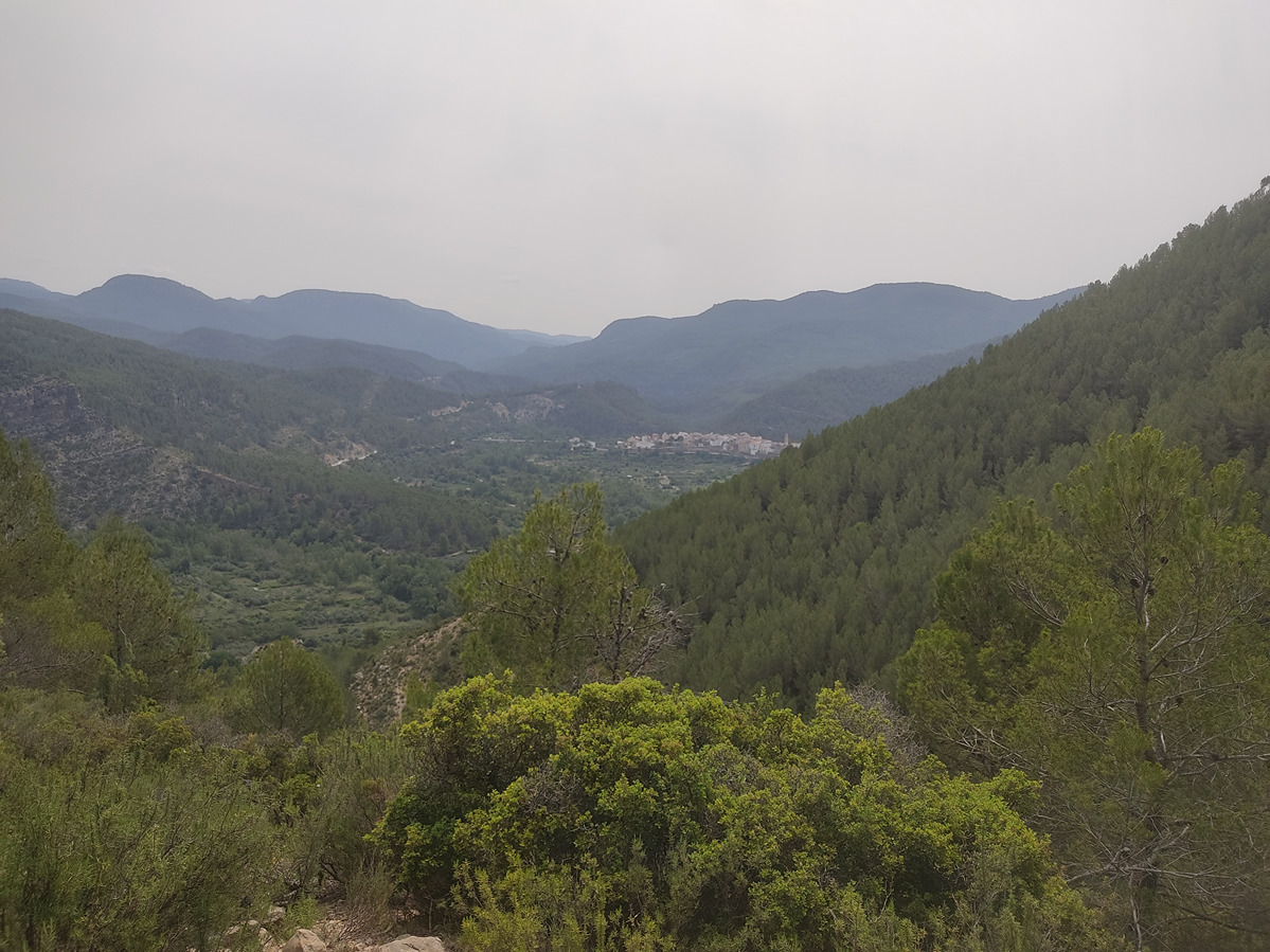
Short trail starting in Arañuel and climbing through pine and holm oak forests to the Rosaire heights, with wide views over the Mijares valley and Campero mountain.
More information at Montaña Segura
You can download them from the IGN Map Library Catalog
It is recommended to consult the regulations and/or authorizations for the use of trails in these protected natural areas on the website of the Regional Ministry of Environment, Water, Infrastructure, and Territory
Arañuel – Trail before the cemetery – Camino de Rosaire (path) - Altos del Rosaire (Heights).
Cruzamos la carretera para tomar en sentido ascendente la calle de Colón. Al final de este giramos a la izquierda para salir de la población por el camino del Cementerio. Antes de llegar a este tomamos una senda a nuestra derecha, en sentido ascendente, entre un denso bosque de pinos y carrascas hasta desembocar en una pista.
Desde aquí seguimos un pequeño trecho para girar a la izquierda un pequeño entrador que nos conduce a los altos del Rosaire donde finaliza el recorrido. Desde el bancal podemos acercarnos al mirador del Rosaire donde podremos disfrutar de unas maravillosas vistas de la cuenca del Mijares y su entorno natural.
Beware! Navigation devices may fail, batteries may run out of power and devices may break down. Do not use only electronic means to track your activities in the mountains; they must be used as a complement to the map and compass. Get some proper training and enjoy the mountains.