ES / EN / VA

Rate this trail

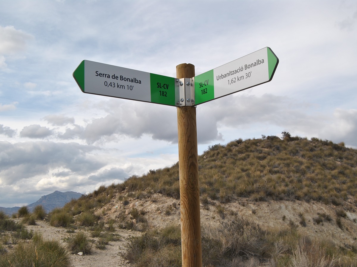
SL-CV 182 URBANIZACIÓN BONALBA

Promoter: Ayuntamiento de Mutxamel

Certification status: Valid

0 reviews

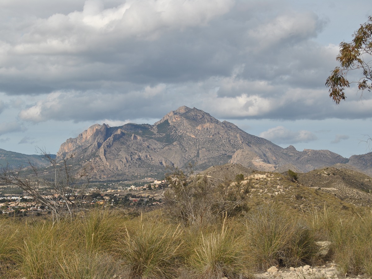
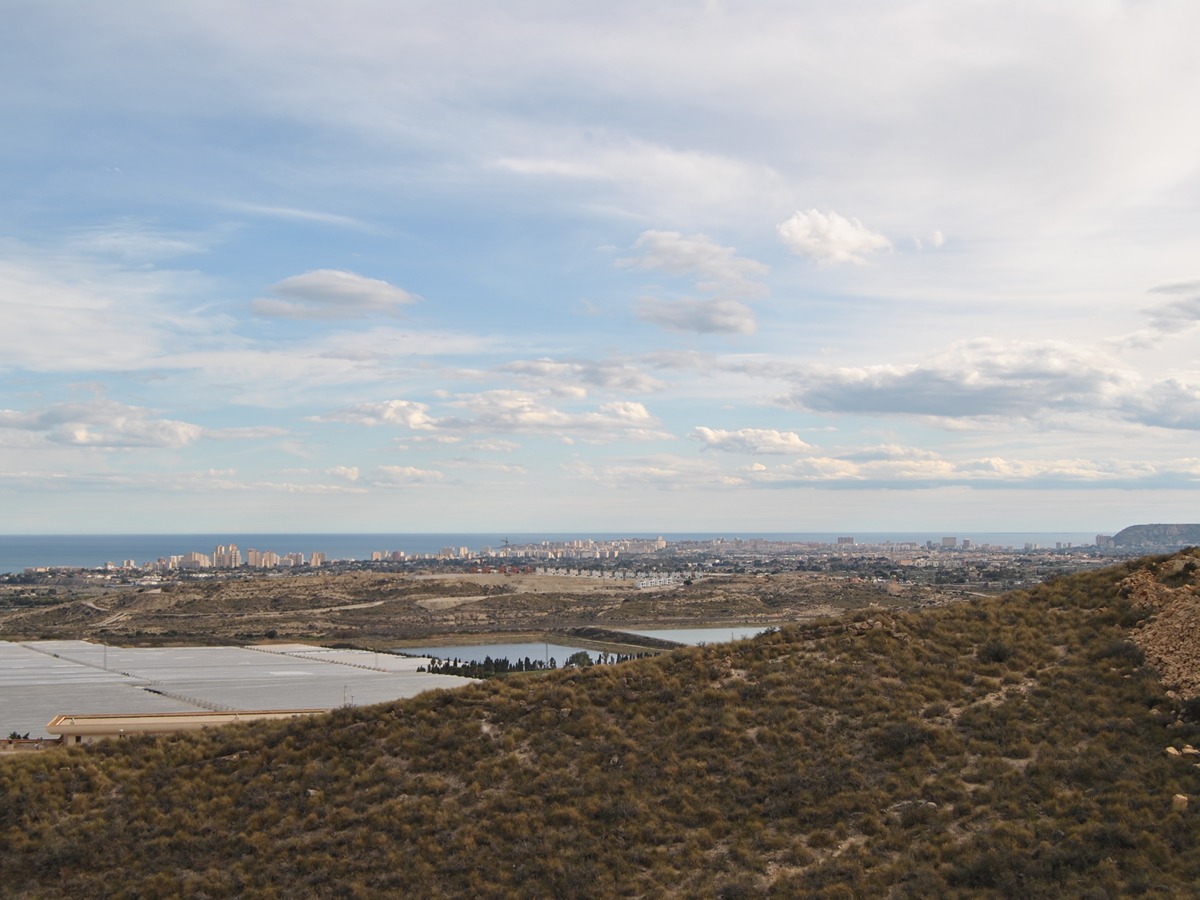
Beautiful route through the Bonalba mountain range with great views of the Mediterranean coast, offering sights of Sant Joan d'Alacant, the Santa Bárbara castle, and the entire coast of El Campello.

Trail:
One way (point-to-point)
Technical data:
Length:
2,00 km
Estimated walking time:
00:40:00
Elevation gain:
85 m
Elevation loss:
75 m
MIDE ratings:
Level of natural risks:
1
Navigation on the trail:
2
Hiking difficulty:
2
Fitness level needed:
1

More information on Montaña Segura

Difficulty rating according to FEDME:
Unknown
Useful information:
Date of certification:
28-03-2025
Reference municipality:
Otros municipios por los que transcurre:
District:
Province:
Alicante/Alacant
Cartography IGN MTN25:
0872-1

Downloadable from the Catalogue of the IGN Map Library

See other trails of this promoter:
Key points of the route:

Urb. Bonalba Golf (residential area) – Collado 1 (col) – Collado 2 (col) – Collado 3 (col) – bifurcation by trail - Urb. Bonalba Golf (residential area)

Route description (only available in Spanish)

Partimos desde el final de la calle Ressol, en la urbanización Bonalba Golf y seguimos una antigua pista que formaba parte de la urbanización. Continuamos por ella hasta cruzar tres collados, momento en el que nos encontramos una vista frontal del mar Mediterráneo. Luego, descendemos por la pista de tierra, sin abandonarla en ningún momento, hasta llegar al final de la calle de la Nit, de nuevo en la urbanización.

Downloads:

Beware! Navigation devices may fail, batteries may run out of power and devices may break down. Do not use only electronic means to track your activities in the mountains; they must be used as a complement to the map and compass. Get some proper training and enjoy the mountains.