Cambiar idioma a español / Cambiar idioma a english / Cambiar idioma a valencià

Rate this trail

SL-CV 183 SENDER DEL SEGUILI

Promoter: Ayuntamiento de Orba

Certification status: Valid

2 reviews

El Seguili is a living reminder of the shepherding tradition. For centuries, shepherds have brought their flocks to graze on the slopes of this mountain. Clear evidence of this can be seen throughout the route in the numerous remains, such as cisterns and huts, as well as the old pens from the transhumance period.

Trail:
Loop
Technical data:
Length:
9,90 km
Estimated walking time:
03:20:00
Elevation gain:
430 m
Elevation loss:
430 m
MIDE ratings:
Level of natural risks:
1
Navigation on the trail:
2
Hiking difficulty:
2
Fitness level needed:
3

More information at Montaña Segura

Difficulty rating according to FEDME:
Unknown
Useful information:
Date of certification:
27-09-2024
Reference municipality:
District:
Province:
Alicante/Alacant
Cartography IGN MTN25:
0822-1

You can download them from the IGN Map Library Catalog

See other trails of this promoter:
Weather information:
Nearest AVAMET weather station
Route description (only available in Spanish)

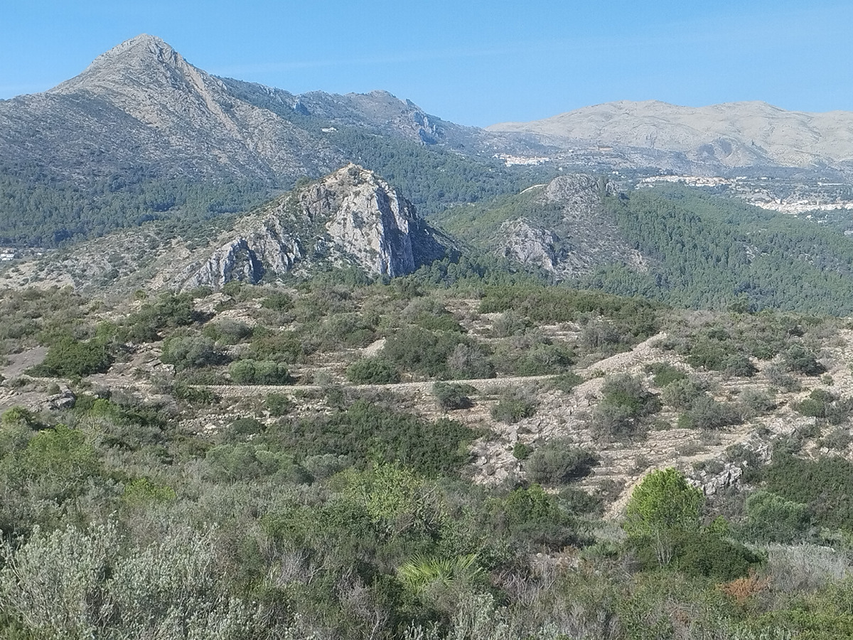
Desde la ermita del Santísimo Cristo de la Agonía de Orbeta, pedanía del municipio de Orba, nos dirigiremos hacía la fuente de Dalt. Seguiremos dirección sur hasta llegar a la partida dels Masils para seguir ya por medio forestal e iniciar la ascensión por un antiguo azagador y continuar por senda por el racó Pastor hasta llegar a la cisterna del Campetxano, un antiguo despoblado, con una curiosa cisterna de origen árabe con boca cuadrada.

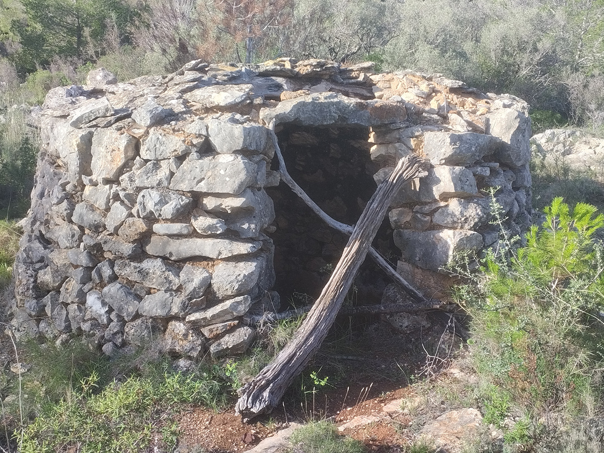
Desde aquí, nos dirigiremos al oeste para llegar a otro punto emblemático de la ruta, el badall del Saboner, aljibe natural utilizado para recoger agua de lluvia. Seguiremos nuestra ruta hasta llegar al impresionante Corralot y después iremos encadenando todas las cisternas y casitas del pla del Seguili.

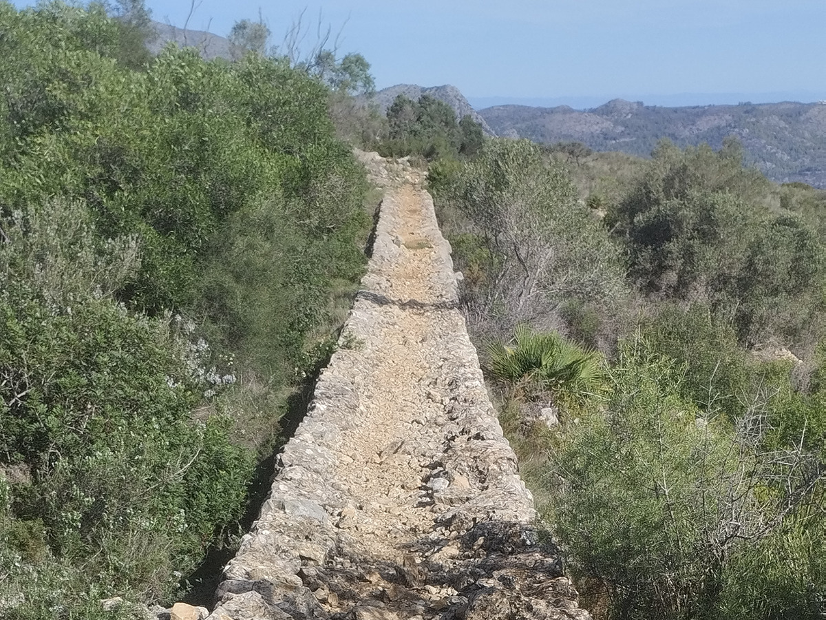
Una vez pasada la cisterna del Morell, llegaremos a la “passera” del Seguili, construcción de piedra seca que evita el desnivel del barranco y así facilitar el paso a los animales. Iniciaremos el descenso no sin antes hacer visita obligatoria a la cueva del Seguili y el pozo de la Mallà para llegar de nuevo a Orbeta.

Downloads:

Beware! Navigation devices may fail, batteries may run out of power and devices may break down. Do not use only electronic means to track your activities in the mountains; they must be used as a complement to the map and compass. Get some proper training and enjoy the mountains.