Rate this trail

SL-CV 44 SENDERO DE RUGAT

Promoter: Ayuntamiento de Rugat

Certification status: Positive quality control

0 reviews

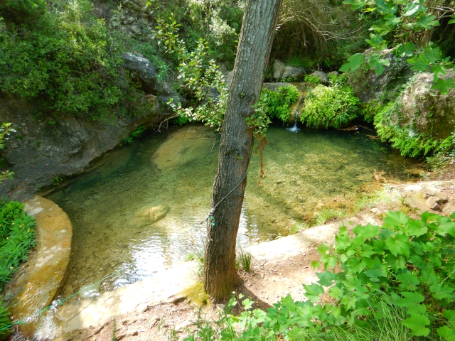
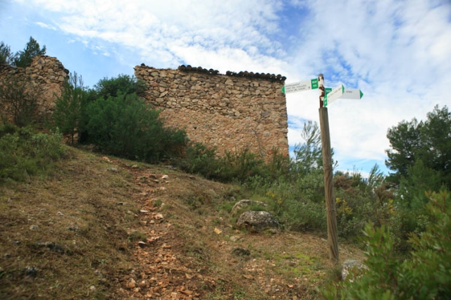
This route alternates between a stretch tracks and mountain paths where we will find vestiges of rural architecture such as the Rugat mill and Barranca house. The ascent poes through pine forest and few holm oaks.

Trail:
One way (point-to-point)
Technical data:
Length:
3,20 km
Estimated walking time:
01:20:00
Elevation gain:
325 m
Elevation loss:
70 m
MIDE ratings:
Level of natural risks:
1
Navigation on the trail:
2
Hiking difficulty:
2
Fitness level needed:
2

More information on Montaña Segura

Difficulty rating according to FEDME:
Unknown
Starting point:
Useful information:
Date of certification:
15-11-2001
Date of the act of registration in the Public Register:
22-05-2007
Date of the last Quality Control:
june de 2021
Reference municipality:
Otros municipios por los que transcurre:
District:
Province:
Valencia/València
Cartography IGN MTN25:
0795-3; 0795-4

Downloadable from the Catalogue of the IGN Map Library

See other trails of this promoter:
Key points of the route:

Calle Juan Carlos I (street) and start of Camino del Molí (path). Rugat - Molí de Rugat (mill) - Trifurcation Penyas Llucies and Casa Barranca (old rural house) - - Penyes Llucies (peak) (connection with SL-CV 43) - Casa de Barranca (old rural house)

Route description (only available in Spanish)
Tomamos la pista asfaltada, llamada Cami del Moli, que sale junto al cartel de inicio, a la altura del nº 29 de la Calle Juan Carlos I y el inicio del "Camí del Molí", de Rugat. Cruzamos al lado de la valla del Camping Natura, continuamos pista hasta el Molino de Rugat. A continuación encontramos el paso habilitado del barranco del Llop. Continuamos ascendiendo por pista. Llegamos hasta una curva pronunciada donde dejaremos la pista asfaltada y continuaremos recto por pista de tierra, al salir de la primera curva tomaremos sendero que sale a la derecha al lado de un muro de bloques bajito.
Ascendemos por senda bien pisada hasta llegar a la trifurcación, ahí podemos elegir ir a casa de Barranca por la izquierda o tomar la dirección hacia las Penyas Llucies por la derecha, donde enlazamos con el SL-CV 43 "Senda de Aileo de Rugat".
Downloads:

Beware! Navigation devices may fail, batteries may run out of power and devices may break down. Do not use only electronic means to track your activities in the mountains; they must be used as a complement to the map and compass. Get some proper training and enjoy the mountains.

Other trails connecting with this trail