Rate this trail

SL-CV 83.d DERIVACIÓN TOSSAL DE LA CREUETA

Promoter: Ayuntamiento de Montichelvo

Certification status: Positive quality control

0 reviews

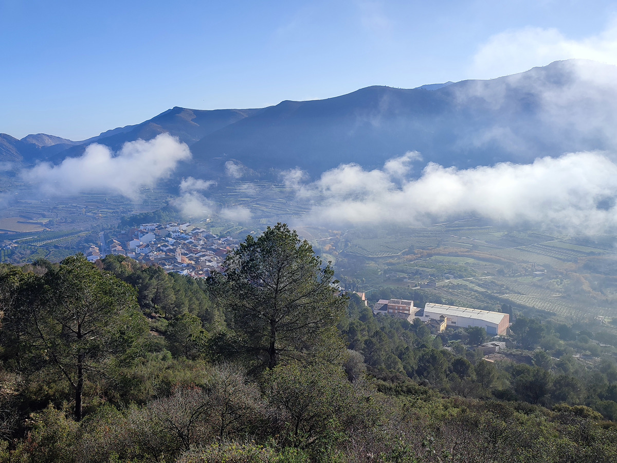
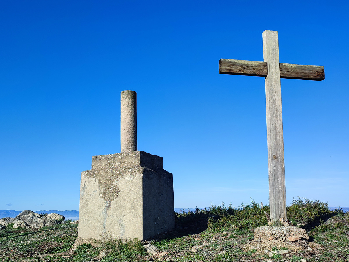
Derivation that takes us to the top of the Creueta hill with privileged panoramic views of the region and the Albes crags.

Trail:
One way (point-to-point)
Technical data:
Length:
0,40 km
Estimated walking time:
00:25:00
Elevation gain:
95 m
Elevation loss:
0 m
MIDE ratings:
Level of natural risks:
1
Navigation on the trail:
2
Hiking difficulty:
2
Fitness level needed:
1

More information on Montaña Segura

Difficulty rating according to FEDME:
Unknown
Useful information:
Date of certification:
15-01-2008
Date of the last Quality Control:
january de 2025
Reference municipality:
District:
Province:
Valencia/València
Cartography IGN MTN25:
0795-4

Downloadable from the Catalogue of the IGN Map Library

See other trails of this promoter:
Key points of the route:

Ermita San Salvador (hermitage) – Mirador de la Creueta (viewpoint)

Route description (only available in Spanish)

Por la parte trasera de la ermita de San Salvador tomamos una senda que en fuerte ascenso nos deja en el alto del tossal de la Creueta.

Downloads:

Beware! Navigation devices may fail, batteries may run out of power and devices may break down. Do not use only electronic means to track your activities in the mountains; they must be used as a complement to the map and compass. Get some proper training and enjoy the mountains.