Cambiar idioma a español / Cambiar idioma a english / Cambiar idioma a valencià

Rate this trail

SL-CV 91 SENDA DE LA MUELA

Promoter: Ayuntamiento de Argelita

Certification status: Positive quality control

0 reviews

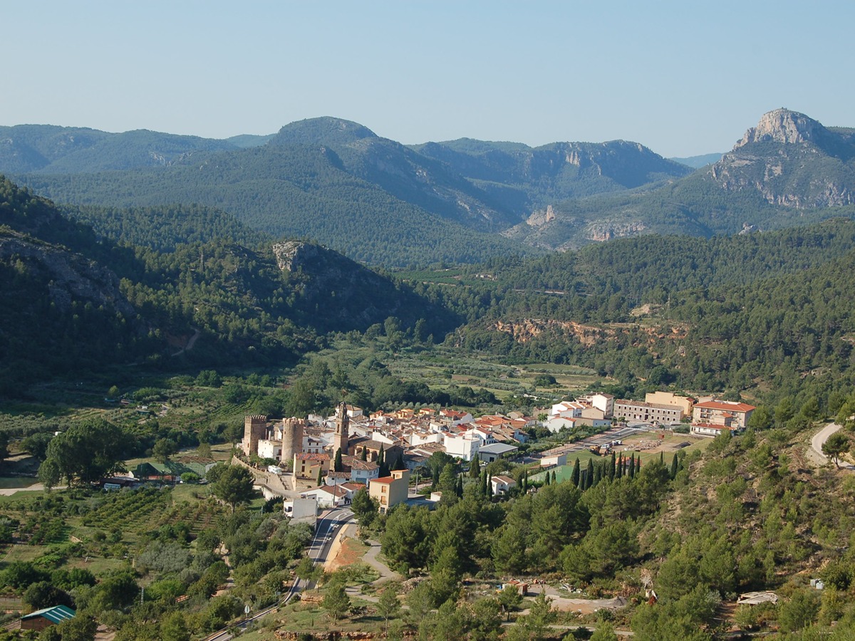
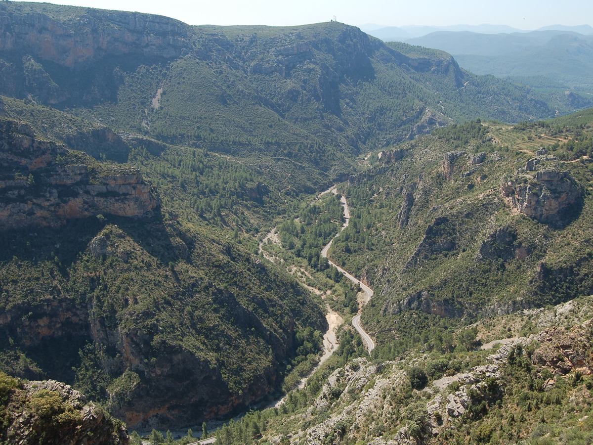
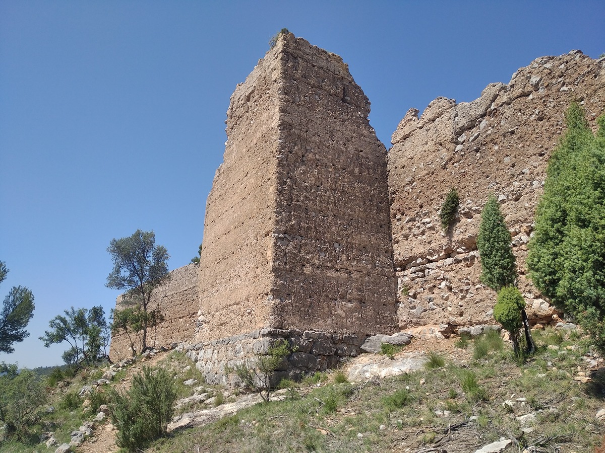
A trail that climbs to La Muela, the site of the Buey Negro Castle, where remains of its curtain walls and some battlements can still be seen. Along the route and from the viewpoint provided by La Muela itself, there are beautiful views of Argelita and of the river Villahermosa, confined between the surrounding mountains.

Trail:
One way (point-to-point)
Technical data:
Length:
3,90 km
Estimated walking time:
01:35:00
Elevation gain:
390 m
Elevation loss:
35 m
MIDE ratings:
Level of natural risks:
2
Navigation on the trail:
2
Hiking difficulty:
2
Fitness level needed:
2

More information at Montaña Segura

Difficulty rating according to FEDME:
Unknown
Starting point:
Useful information:
Date of certification:
15-06-2007
Date of the act of registration in the Public Register:
20-02-2008
Date of the last Quality Control:
june de 2023
Reference municipality:
District:
Province:
Castellón/Castelló
Cartography IGN MTN25:
0615-3; 0615-4

You can download them from the IGN Map Library Catalog

See other trails of this promoter:
Weather information:
Nearest AVAMET weather station
Key points of the route:

Argelita - Barranco de Quiles (ravine) - Castillo del Buey Negro (castle)

Route description (only available in Spanish)

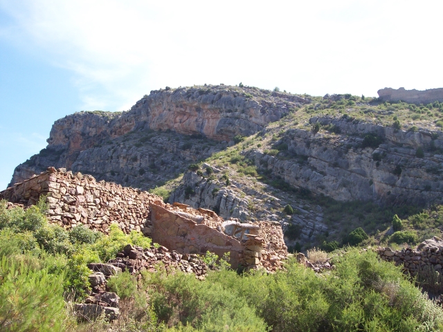
Iniciamos el recorrido a la salida de Argelita junto a la carretera CV-194 a Ludiente, tomando la pista de cemento en ligero ascenso. Tras una curva a izquierda seguimos por una senda a nuestra derecha. Poco más adelante pasamos junto a unas antiguas canteras de yeso. Siguiendo la senda, se cruza en repetidas ocasiones la pista que también recorremos en algunos pequeños tramos. Continuando por la senda y cruzamos el barranco de Quiles. A los pocos metros, a media ladera, se pasa por una pequeña masía conocida como del Tío Pepe. Pasando esta propiedad, la senda continúa ascendiendo de forma serpenteante por la ladera de la montaña hasta desembocar en el camino de la Muela. Nos dirigimos a nuestra derecha hasta un pequeño collado junto a unas ruinas, el corral de las Matildas, donde converge una senda desde la vecina localidad de Ludiente. Continuamos ascendiendo por la pista hasta la primera curva a la izquierda. En esta misma curva tomamos la estrecha senda que termina de ascender a la fortificada Muela. Terminamos en la amplia explanada de las ruinas de la enorme fortaleza del castillo del Buey Negro.

Downloads:

Beware! Navigation devices may fail, batteries may run out of power and devices may break down. Do not use only electronic means to track your activities in the mountains; they must be used as a complement to the map and compass. Get some proper training and enjoy the mountains.

Other trails connecting with this trail