Rate this trail

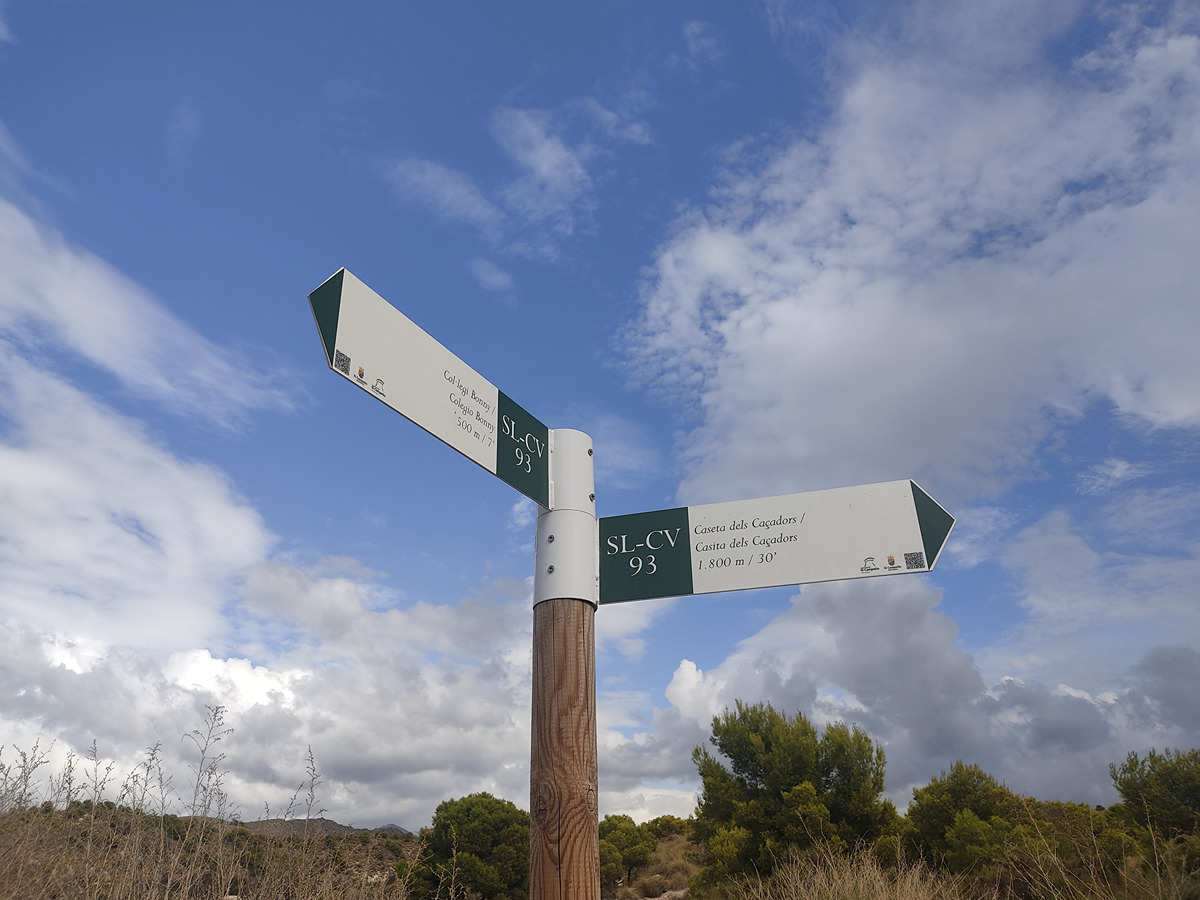
SL-CV 93 LES PUNTES DE GOSÀLVEZ

Promoter: Ayuntamiento de El Campello

Certification status: Positive quality control

0 reviews

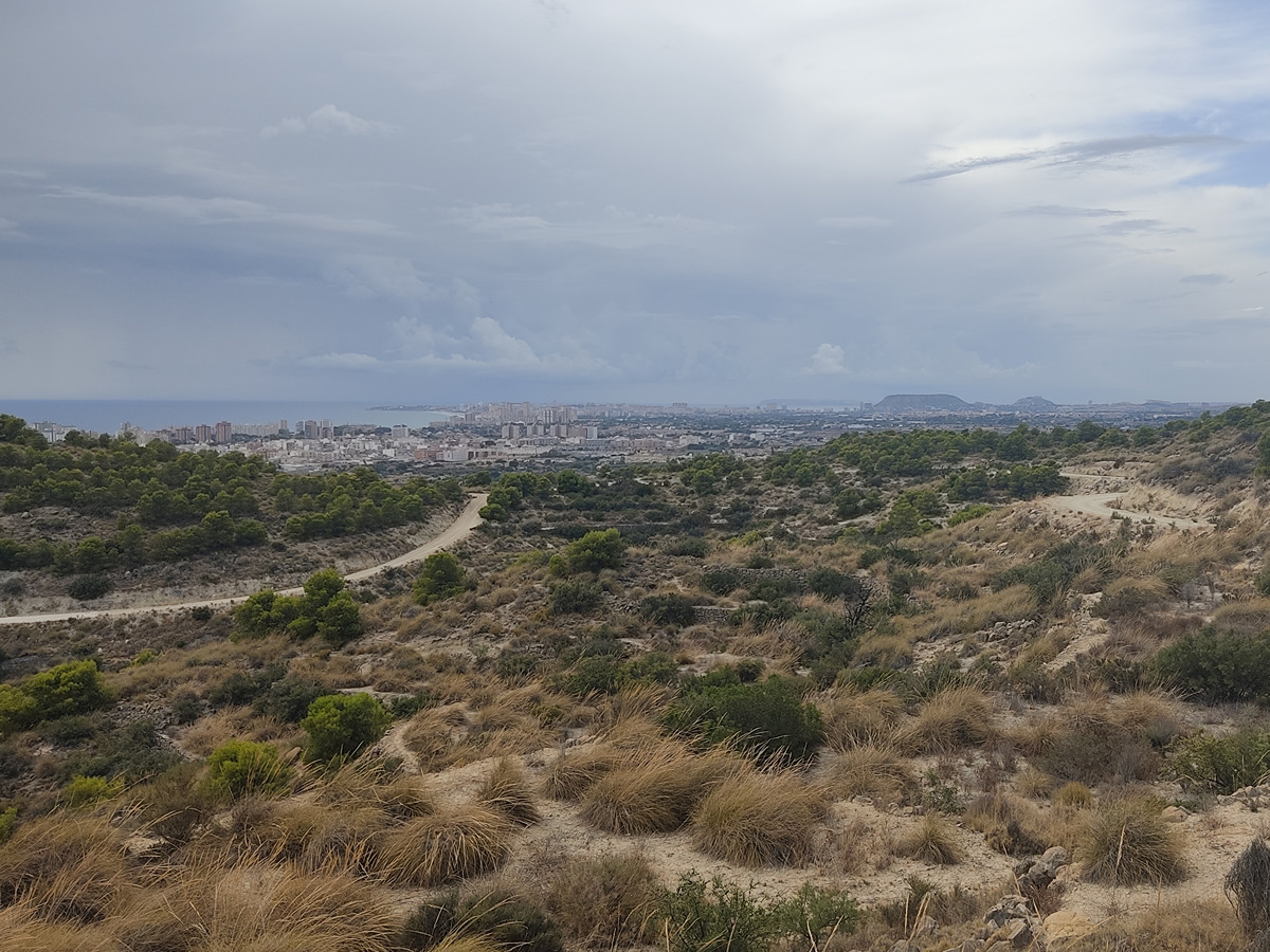
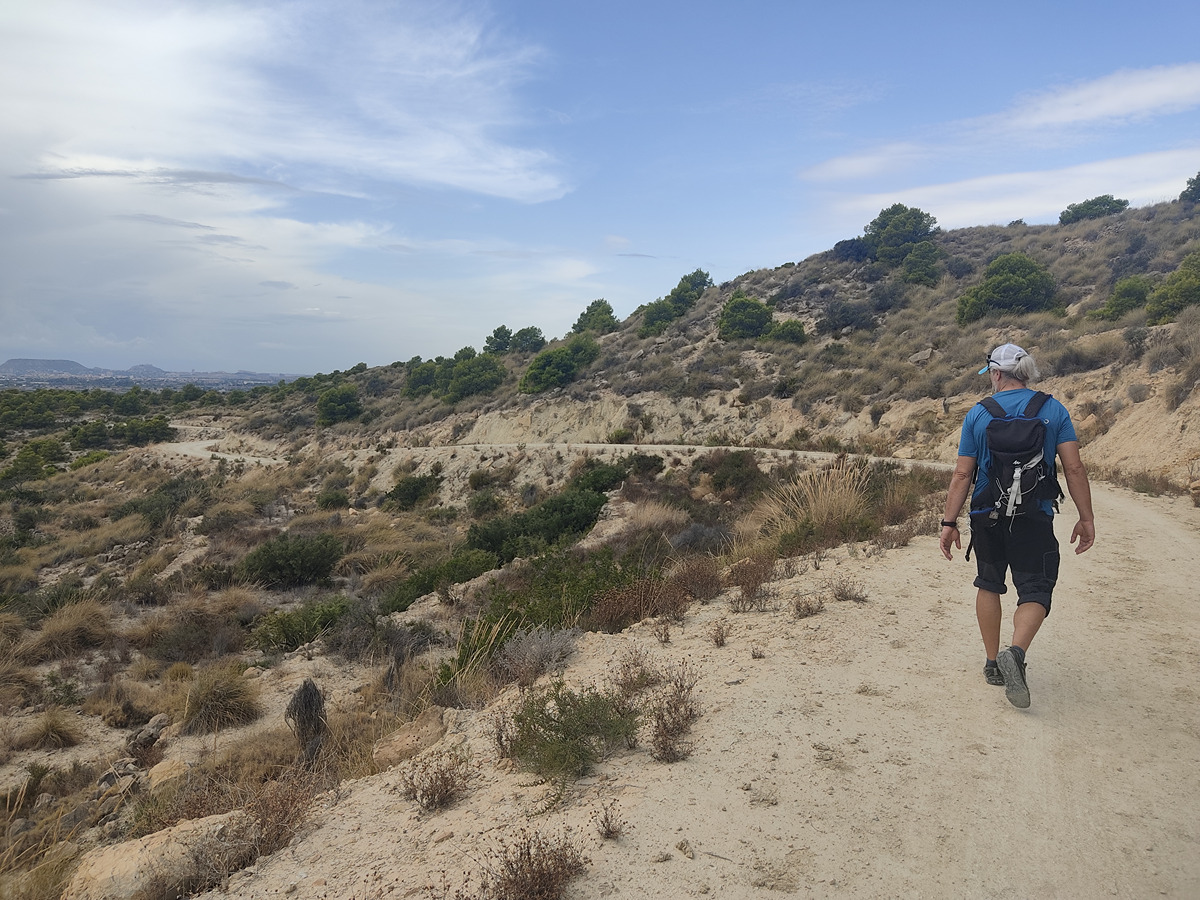
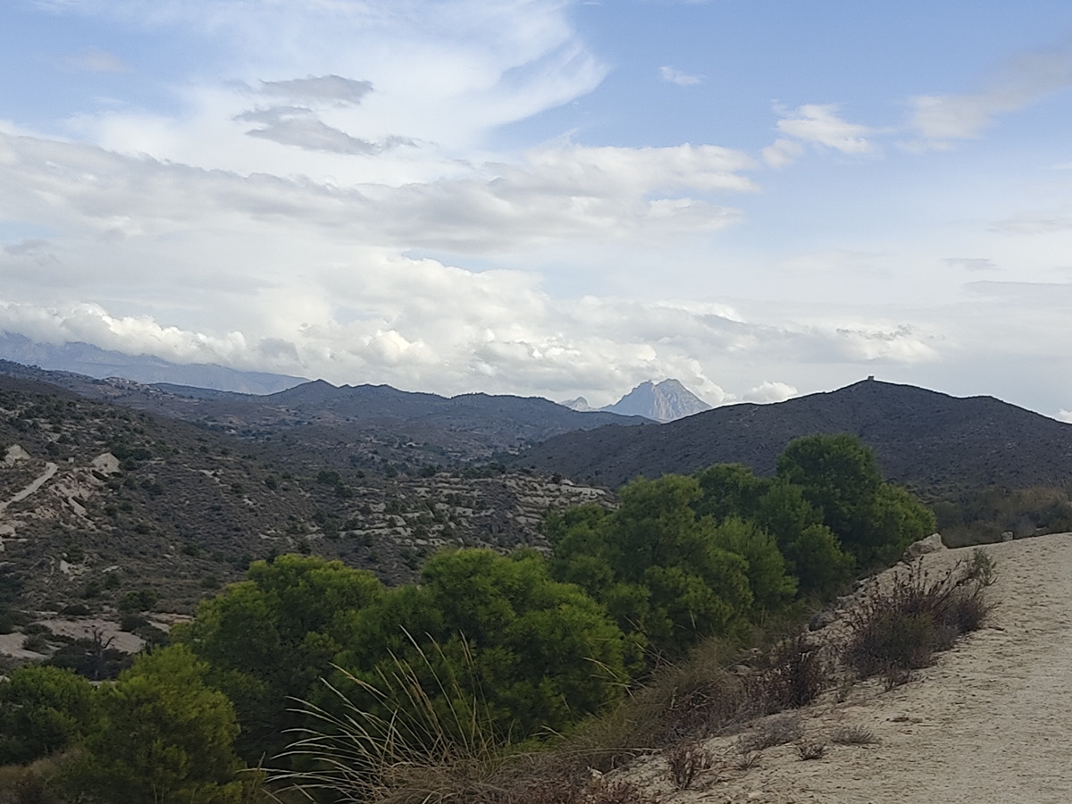
Circular route that runs through the Alicante landscapes in the town of El Campello leading up to the Puntes de Gosàlvez watchtower and its beautiful coastal views.

Trail:
Loop with some overlapping out and back sections
Technical data:
Length:
5,70 km
Estimated walking time:
01:40:00
Elevation gain:
115 m
Elevation loss:
115 m
MIDE ratings:
Level of natural risks:
2
Navigation on the trail:
2
Hiking difficulty:
2
Fitness level needed:
2

More information on Montaña Segura

Difficulty rating according to FEDME:
Unknown
Useful information:
Date of certification:
15-12-2008
Date of the last Quality Control:
october de 2022
Reference municipality:
District:
Province:
Alicante/Alacant
Cartography IGN MTN25:
0872-1

Downloadable from the Catalogue of the IGN Map Library

See other trails of this promoter:
Key points of the route:

Colegio School - recreation area - Puntes de Gosálvez (natural area) - Colegio Bonny

Route description (only available in Spanish)

Salimos por pista dirección N. Pasamos dejando una bifurcación a la derecha, qué será el camino por el que regresaremos al finalizar el itinerario circular. Seguimos por pista sin tomar ningún desvío hasta un pequeño desvío a izquierda a una pequeña área recreativa. Nosotros seguimos por la pista de la derecha, para en dirección Norte, adentrarnos en un pequeño valle. Seguimos el recorrido por pista hasta que el sendero nos va dirigiendo hacia el Este y comenzamos a degustar las vistas del litoral costero. Continuando la pista, nos sale a izquierdas un ramal que sube hasta el punto más alto del recorrido, el mirador de las Puntes de Gosálvez, pequeña atalaya donde disfrutar de una hermosas vistas. Regresamos por el mismo camino, para retomar la pista de nuestro sendero que dirigiéndose hacia el Sur, cerrando el círculo, que nos conducirá de nuevo al colegio Bonny.

Downloads:

Beware! Navigation devices may fail, batteries may run out of power and devices may break down. Do not use only electronic means to track your activities in the mountains; they must be used as a complement to the map and compass. Get some proper training and enjoy the mountains.