Cambiar idioma a español / Cambiar idioma a english / Cambiar idioma a valencià

Rate this trail

GR 160 E13 ONTINYENT - LÍMITE PROVINCIAL ALICANTE

Promoter: Patronato Provincial de Turismo de València

Certification status: Conditioned quality control

0 reviews

Following the inspection carried out by trail technicians, this trail has been declared of "limited adequacy" as a result of the faults detected in the signage. These include inadequate horizontal signs (paint markers) and/or vertical ones (trailheads and information boards) or lacking direction markers that do not provide sufficient information to properly follow the route. The builder of this trail has been informed of the situation.
For safety reasons and during maintenance work, it is advised to be extremely careful while taking this route. Furthermore, mountain sports entail risks associated with the activity itself and the environment where they take place, for which any person is fully liable. For this reason, hikes need to be planned properly and adequate training, equipment and sensible use of the trails are required.

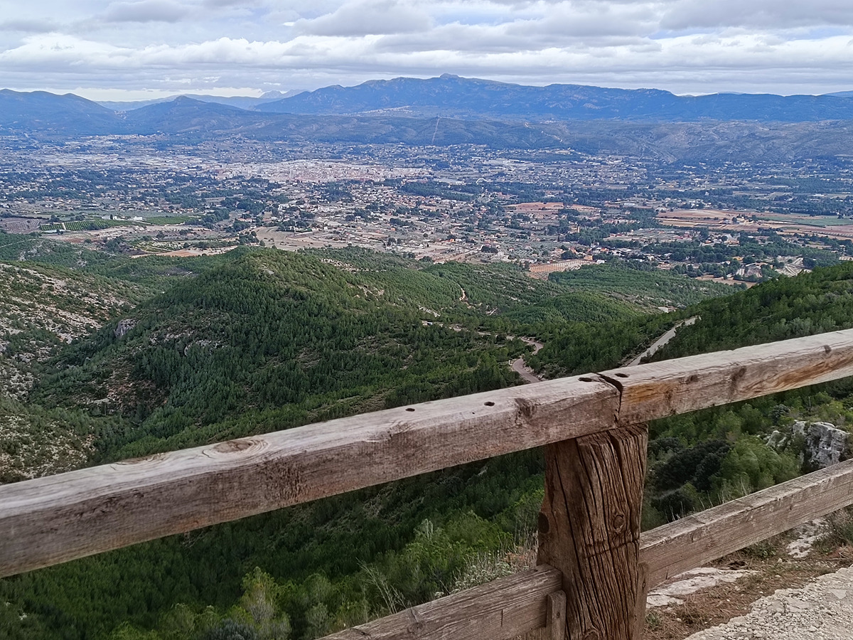
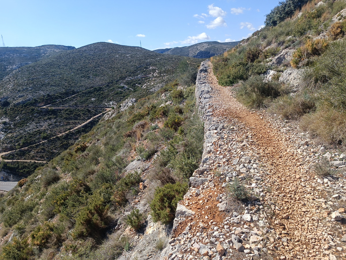
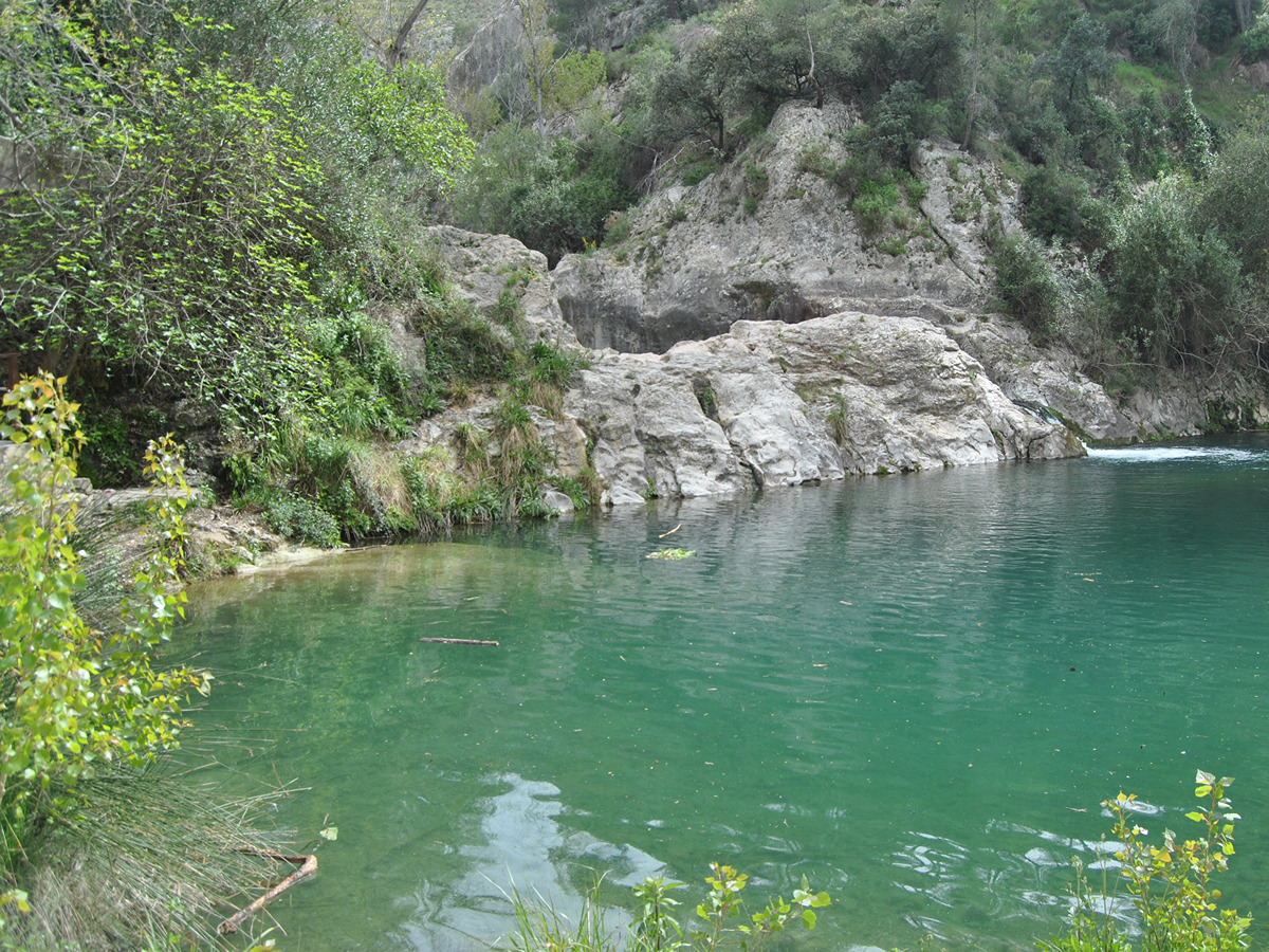
The final stage before leaving the province of Valencia, passing through iconic natural areas such as Pou Clar and Barranc dels Tarongers, while also offering the opportunity to visit the historic quarter of Bocairent.

Trail:
One way (point-to-point)
Technical data:
Length:
16,40 km
Estimated walking time:
05:00:00
Elevation gain:
580 m
Elevation loss:
190 m
MIDE ratings:
Level of natural risks:
2
Navigation on the trail:
2
Hiking difficulty:
2
Fitness level needed:
3

More information at Montaña Segura

Difficulty rating according to FEDME:
Unknown
Starting point:
Interest Tags:
Trail with historical-artistic interest

Useful information:
Date of the last Quality Control:
april de 2026
Reference municipality:
Other municipalities through which it passes:
District:
Province:
Valencia/València
Cartography IGN MTN25:
0820-2; 0820-4

You can download them from the IGN Map Library Catalog

See other trails of this promoter:
Protected Natural Spaces:

It is recommended to consult the regulations and/or authorizations for the use of trails in these protected natural areas on the website of the Regional Ministry of Environment, Water, Infrastructure, and Territory

  • Serra de l'Ombria - Pou Clar (Municipal Natural Site)
  • Sierra de Mariola y Carrascal de la Font Roja (SPAB - Special Protection Area for Birds)
  • Sierra de Mariola y Carrascar de la Font Roja (SIC - Site of Community Interest)
Weather information:
Nearest AVAMET weather station
Key points of the route:

Ontinyent - El Pou Clar (natural pool) - Barranco dels Tarongers (ravine)- Ermita Sant Antoni Abat (hermitage) – Bocairent – Puente de Sant Blai (bridge) - Ermita de Sant Antoni de Pàdua (hermitage) – Límite provincial València/Alicante (provincial boundary)

Route description (only available in Spanish)

Desde la oficina de turismo de Ontinyent descendemos por la calle de la Magdalena y tomamos la primera calle a la derecha para continuar por la avenida del Comte de Torrefiel hasta el cruce con la calle de Santa Teresa. Desde allí nos dirigimos hacia el polideportivo, donde enlazamos con el GR 7.

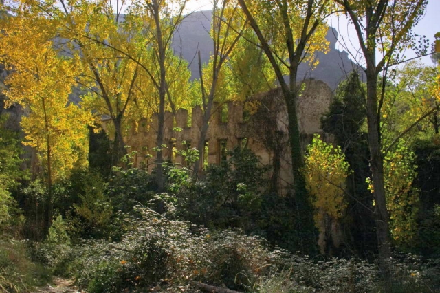
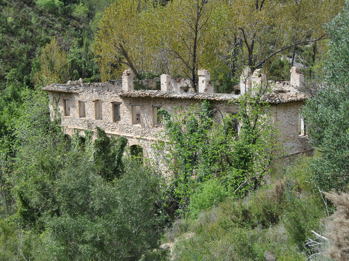
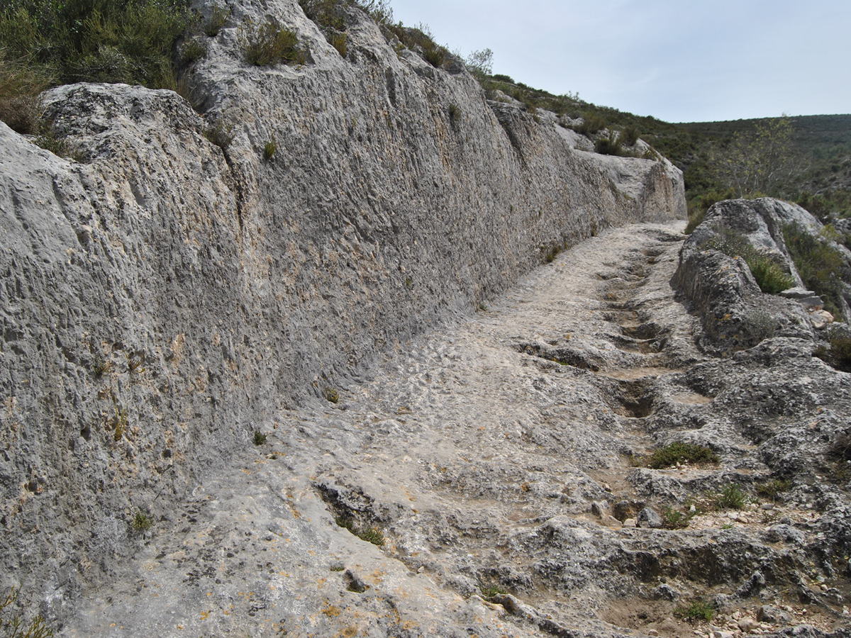
Continuamos hasta la rotonda de la CV-660 y seguimos por el camino del Llombo hasta alcanzar el acceso al paraje natural del Pou Clar. Tras recorrer este singular espacio, salimos por unas escaleras hacia la zona de aparcamiento y continuamos por la carretera CV-81 hasta la entrada del barranco dels Tarongers. El itinerario recorre íntegramente este barranco y el de la Fos, pasando junto a numerosos molinos históricos, entre los que destacan los de Patiràs, Lluna y Pepe Juan. En la parte alta del recorrido sobresale el paso del Bou, con interesantes tramos excavados en la roca.

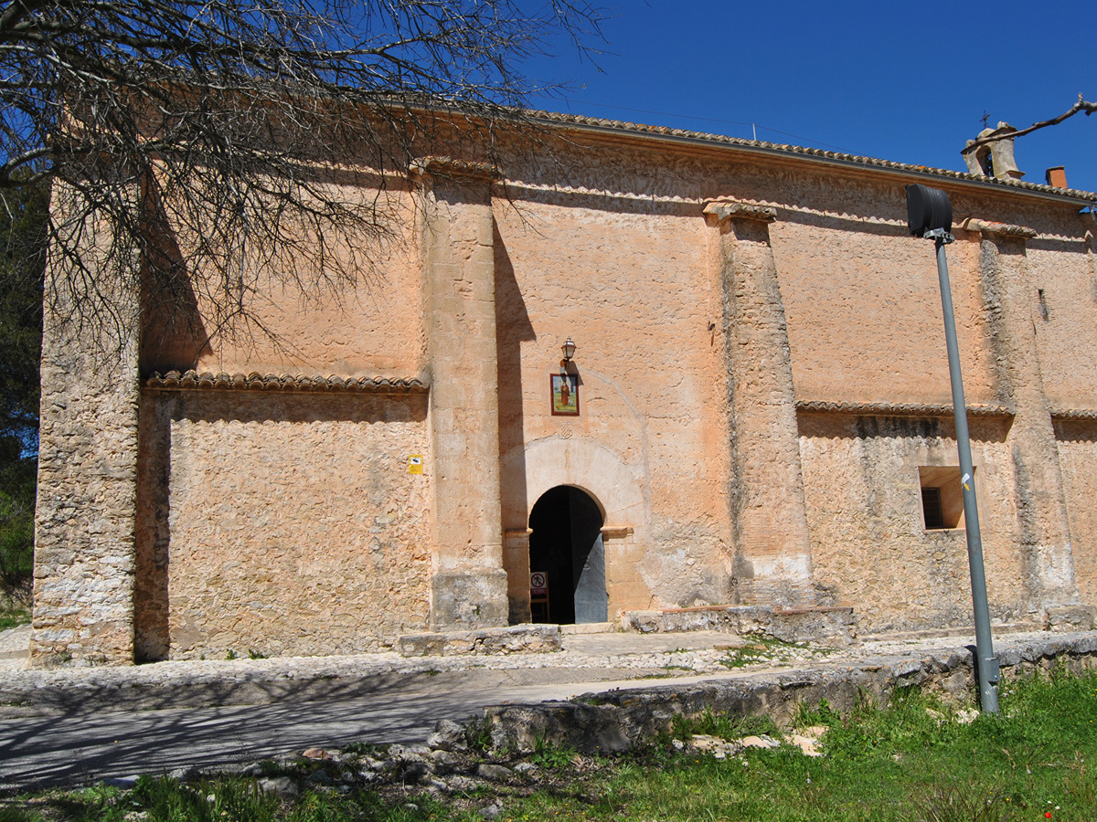
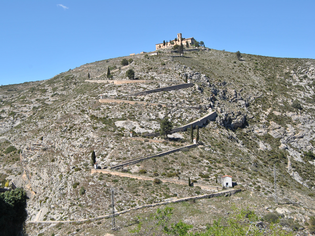
Una vez alcanzado el collado, descendemos hasta la ermita de Sant Antoni Abat y continuamos por un camino asfaltado en dirección a Bocairent. El recorrido cruza el puente de Darrere y atraviesa el casco histórico de la localidad. Posteriormente desciende hacia el puente de Sant Blai para seguir por la antigua vía del tren, paralela a la carretera nacional, hasta alcanzar el camino Viejo de Banyeres.

Desde aquí continuamos hasta la ermita de Sant Antoni de Pàdua y, posteriormente, hasta el límite provincial entre Valencia y Alicante.

A partir de este punto, el Camino del Cid continúa hacia Banyeres de Mariola con señalización propia no homologada.

Downloads:

Beware! Navigation devices may fail, batteries may run out of power and devices may break down. Do not use only electronic means to track your activities in the mountains; they must be used as a complement to the map and compass. Get some proper training and enjoy the mountains.

Other trails connecting with this trail