
GR 33 SENDER DE LA LLUNA PLENA
Promoter: Diputación de Castellón
Certification status: See stages
1 review
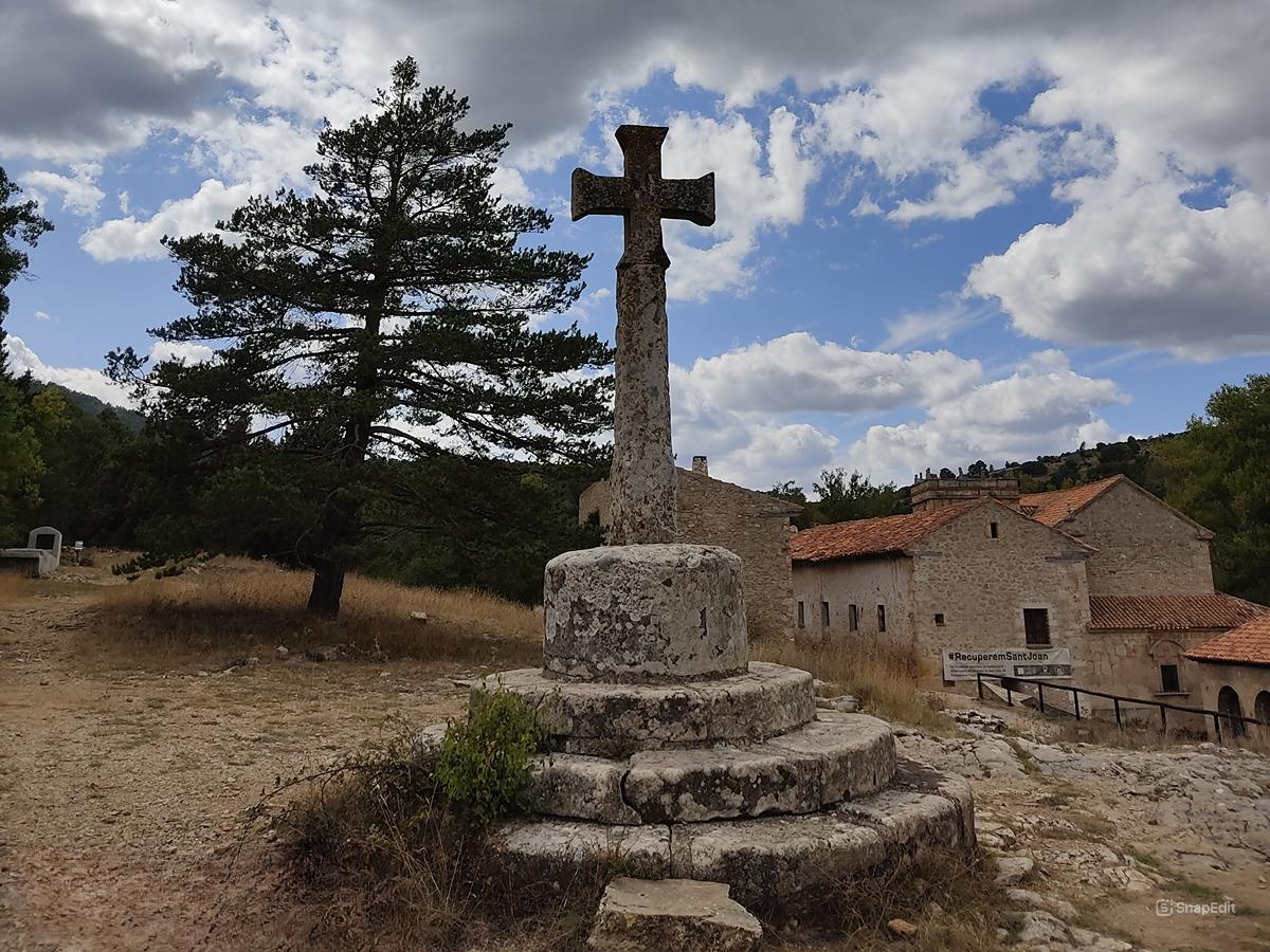
The GR 33 trail connects the coast with the interior of the province of Castellón, and connects Castellón de la Plana with Sant Joan de Penyagolosa, where it joins the GR 7. It goes through the municipalities of Castellón de la Plana, Borriol, Vilafamés, Les Useres, Atzeneta, Lucena, Xodos and Vistabella, with a profile characterised by saw teeth as it crosses all the mountains perpendicularly. At Les Useres, a reference point on this route, it joins the Camino dels Pelegrins de les Useres Natural Monument.
Trail:
One way (point-to-point)
Stages

GR 33 E01 CASTELLÓ - CAMÍ VELL DE BORRIOL
Promoter: Diputación de Castellón
Certification status: Negative quality control
Etapa número: 1
Reference municipality: Castelló de la Plana
Length: 7,50 km
Estimated walking time: 02:05:00
Elevation gain: 330 m
Elevation loss: 160 m
(0)
GR 33 E02 CAMÍ VELL DE BORRIOL - POU DEL MOLLET
Promoter: Diputación de Castellón
Certification status: Conditioned quality control
Etapa número: 2
Reference municipality: Borriol
Length: 6,40 km
Estimated walking time: 02:10:00
Elevation gain: 390 m
Elevation loss: 65 m
(0)
GR 33 E03 POU DEL MOLLET - BASSA DE LES ORONETES
Promoter: Diputación de Castellón
Certification status: Conditioned quality control
Etapa número: 3
Reference municipality: Sant Joan de Moró
Length: 9,30 km
Estimated walking time: 02:55:00
Elevation gain: 235 m
Elevation loss: 335 m
(0)
GR 33 E04 BASSA DE LES ORONETES - LES USERES
Promoter: Diputación de Castellón
Certification status: Negative quality control
Etapa número: 4
Reference municipality: Vilafames
Length: 9,00 km
Estimated walking time: 02:25:00
Elevation gain: 235 m
Elevation loss: 265 m
(0)
GR 33 E05 LES USERES - SANT MIQUEL DE LES TORROCELLES
Promoter: Diputación de Castellón
Certification status: Conditioned quality control
Etapa número: 5
Reference municipality: Useres (les)/Useras
Length: 9,10 km
Estimated walking time: 03:10:00
Elevation gain: 510 m
Elevation loss: 340 m
(0)
GR 33 E06 SANT MIQUEL DE LES TORROCELLES - XODOS
Promoter: Diputación de Castellón
Certification status: Negative quality control
Etapa número: 6
Reference municipality: Atzeneta del Maestrat
Length: 8,00 km
Estimated walking time: 02:50:00
Elevation gain: 545 m
Elevation loss: 165 m
(0)
GR 33 E07 XODOS - SANT JOAN DE PENYAGOLOSA
Promoter: Diputación de Castellón
Certification status: Positive quality control
Etapa número: 7
Reference municipality: Chodos/Xodos
Length: 6,70 km
Estimated walking time: 02:00:00
Elevation gain: 420 m
Elevation loss: 215 m
(1)