Cambiar idioma a español / Cambiar idioma a english / Cambiar idioma a valencià

Rate this trail

GR 331 E06 TODOLELLA - FORCALL

Promoter: Mancomunitat Comarcal Els Ports

Certification status: Conditioned quality control

0 reviews

Following the inspection carried out by trail technicians, this trail has been declared of "limited adequacy" as a result of the faults detected in the signage. These include inadequate horizontal signs (paint markers) and/or vertical ones (trailheads and information boards) or lacking direction markers that do not provide sufficient information to properly follow the route. The builder of this trail has been informed of the situation.
For safety reasons and during maintenance work, it is advised to be extremely careful while taking this route. Furthermore, mountain sports entail risks associated with the activity itself and the environment where they take place, for which any person is fully liable. For this reason, hikes need to be planned properly and adequate training, equipment and sensible use of the trails are required.

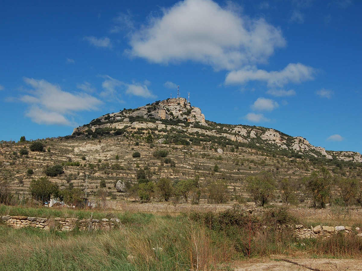
A stage that combines historical heritage such as Todolella Castle and the ancient Roman city of Lesera, with a rural landscape represented by various farmhouses and the high environmental value of the Mola de la Vila.

Trail:
One way (point-to-point)
Technical data:
Length:
8,50 km
Estimated walking time:
02:45:00
Elevation gain:
265 m
Elevation loss:
350 m
MIDE ratings:
Level of natural risks:
2
Navigation on the trail:
2
Hiking difficulty:
2
Fitness level needed:
2

More information at Montaña Segura

Difficulty rating according to FEDME:
Unknown
Interest Tags:
Trail with historical-artistic interest

Useful information:
Date of certification:
19-01-2021
Date of the last Quality Control:
january de 2026
Reference municipality:
Other municipalities through which it passes:
District:
Province:
Castellón/Castelló
Cartography IGN MTN25:
0544-2

You can download them from the IGN Map Library Catalog

See other trails of this promoter:
Protected Natural Spaces:

It is recommended to consult the regulations and/or authorizations for the use of trails in these protected natural areas on the website of the Regional Ministry of Environment, Water, Infrastructure, and Territory

  • Mola de la Vila (Municipal Natural Site)
  • Riu Bergantes (SIC - Site of Community Interest)
Weather information:
Nearest AVAMET weather station
Key points of the route:

Todolella - Peiró de Santa Caterina (wayside cross) - Mas de la Sebastiana (Hamlet) - Sesteadero de la Torre de Selló (livestock resting área) - Entrada a Lesera - Mas de la Parra (Hamlet) - Balsa de la Mola (pond) - Cueva de la Carn (cave) - Río Cantavieja (river) - Forcall

Route description (only available in Spanish)

Cruzamos la localidad de Todolella por la plaza Mayor y la plaza de la Iglesia para salir de la población a los pies de su castillo. Continuamos por la pista hasta alcanzar el peiró de Caterina y el polideportivo, que bordeamos por la derecha para seguir avanzando entre paisajes agrícolas. Dejamos la entrada al yacimiento de Leresa y pasamos junto al mas de la Sebastiana.

Más adelante llegamos al barranco de la Torre de Selló que cruzamos para dirigirnos al mas de la Parra y empezar a subir por la umbría de la Mola. Bordeamos la balsa de la Mola y continuamos por la parte alta de los cinglos para bajar a la cueva de la Carn. Desde aquí seguimos descendiendo entre terrazas para cruzar el río Cantavieja y llegar a Forcall.

Downloads:

Beware! Navigation devices may fail, batteries may run out of power and devices may break down. Do not use only electronic means to track your activities in the mountains; they must be used as a complement to the map and compass. Get some proper training and enjoy the mountains.

Other trails connecting with this trail