


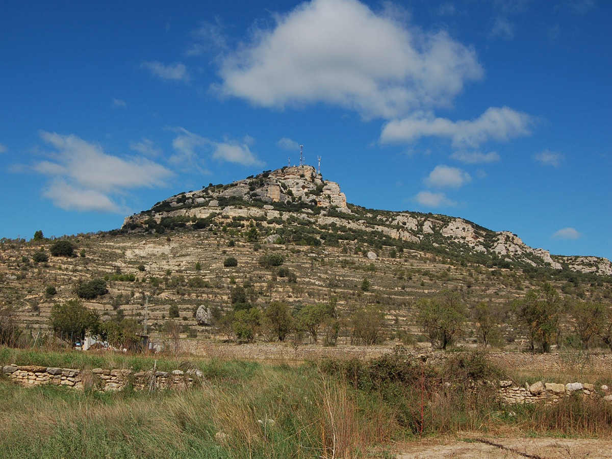
PR-CV 116 MOLA DE LA GARUMBA (MORELLA - FORCALL)
Promoter: Ayuntamiento de Morella
Certification status: Positive quality control
0 reviews
A magnificent itinerary that crosses mountain ranges and buttes to reach the marvelous village of Forcall, surrounded by its four spectacular buttes.
Trail:
One way (point-to-point)
Other trails connecting with this trail
GR 7 E27 MORELLA - ARES DEL MAESTRAT
Promoter: Generalitat Valenciana
Certification status: Positive quality control
Etapa número: 27
Reference municipality: Morella
Length: 24,20 km
Estimated walking time: 07:25:00
Elevation gain: 780 m
Elevation loss: 530 m
(0)
PR-CV 117 FORCALL - MIRAMBEL
Promoter: Ayuntamiento de Morella
Certification status: No quality controls
Reference municipality: Forcall
Length: 19,15 km
Estimated walking time: 06:20:00
Elevation gain: 670 m
Elevation loss: 340 m
(0)
PR-CV 119 COLL DE CANTERET (MORELLA - CINCTORRES)
Promoter: Ayuntamiento de Morella
Certification status: No quality controls
Reference municipality: Morella
Length: 7,70 km
Estimated walking time: 01:55:00
Elevation gain: 185 m
Elevation loss: 230 m
(0)
PR-CV 217 XIVA DE MORELLA - ORTELLS - FORCALL
Promoter: Ayuntamiento de Morella
Certification status: Negative quality control
Reference municipality: Morella
Length: 13,00 km
Estimated walking time: 03:55:00
Elevation gain: 220 m
Elevation loss: 430 m
(0)
PR-CV 322 MOLA DE LA VILA
Promoter: Ayuntamiento de Forcall
Certification status: Negative quality control
Reference municipality: Forcall
Length: 6,10 km
Estimated walking time: 02:00:00
Elevation gain: 270 m
Elevation loss: 270 m
(0)

GR 331 E06 TODOLELLA - FORCALL
Promoter: Mancomunitat Comarcal Els Ports
Certification status: Valid
Etapa número: 6
Reference municipality: Todolella
Length: 7,90 km
Estimated walking time: 02:20:00
Elevation gain: 230 m
Elevation loss: 340 m
(0)
GR 331 E07 FORCALL - VILLORES - XIVA DE MORELLA
Promoter: Mancomunitat Comarcal Els Ports
Certification status: Valid
Etapa número: 7
Reference municipality: Forcall
Length: 14,40 km
Estimated walking time: 04:25:00
Elevation gain: 370 m
Elevation loss: 155 m
(0)