
GR 7 E27 MORELLA - ARES DEL MAESTRAT
Promoter: Generalitat Valenciana
Certification status: Positive quality control
0 reviews
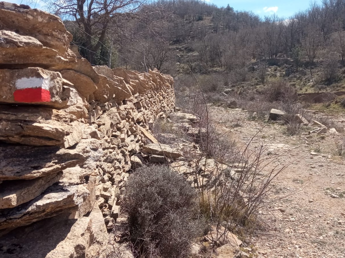
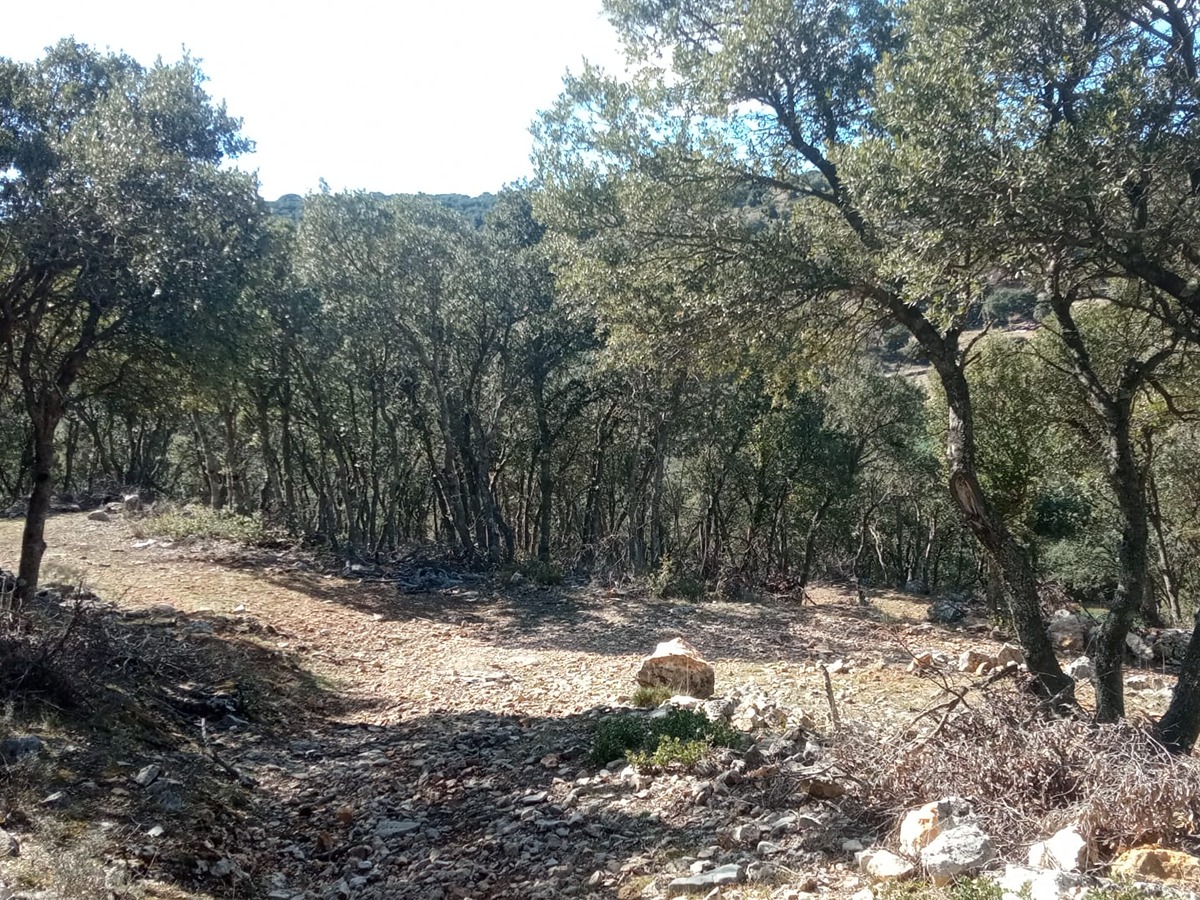
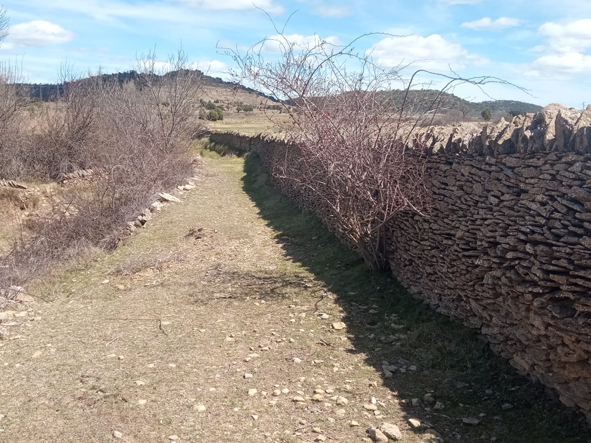
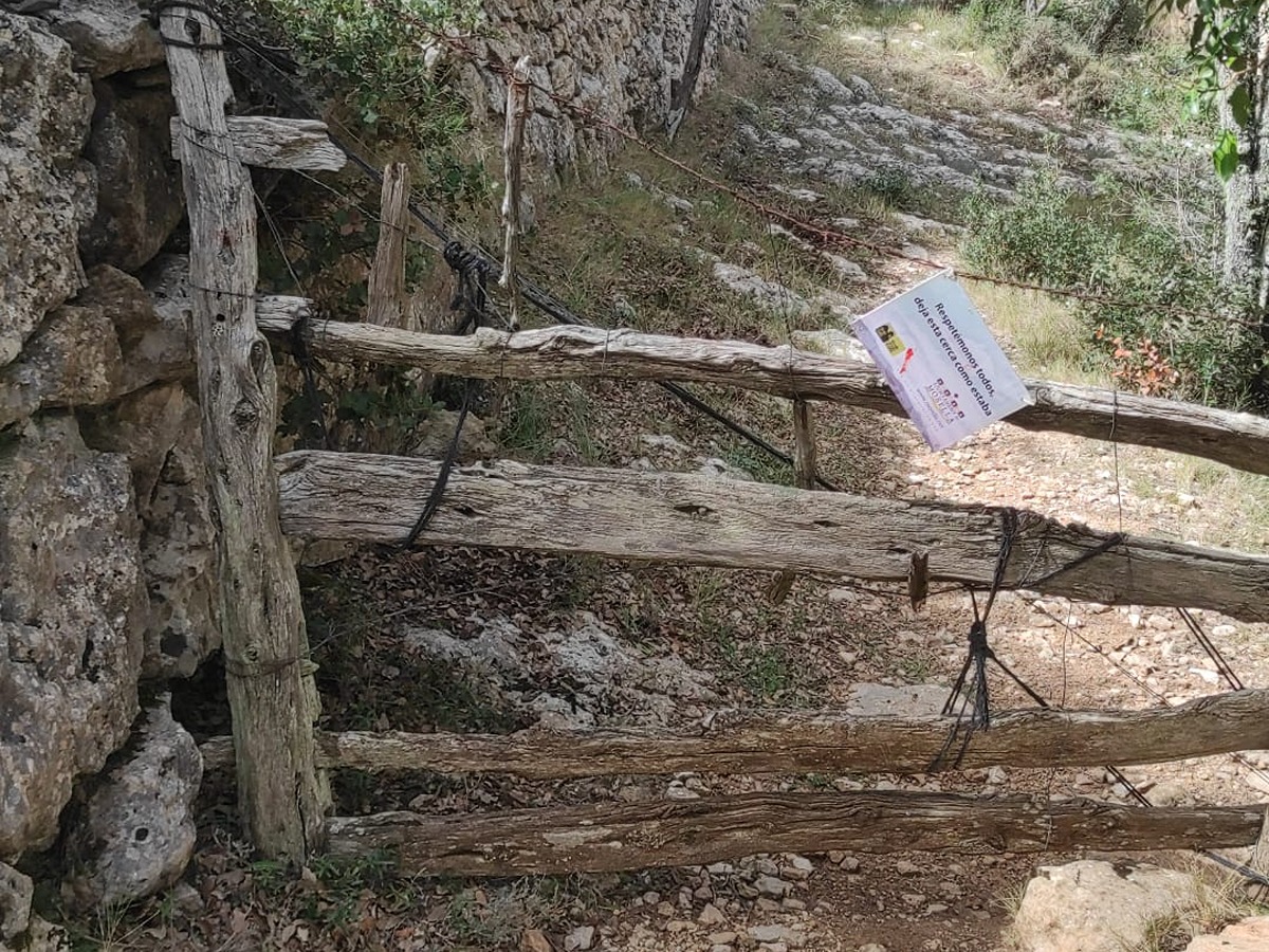
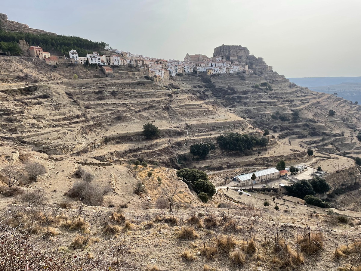
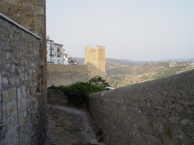
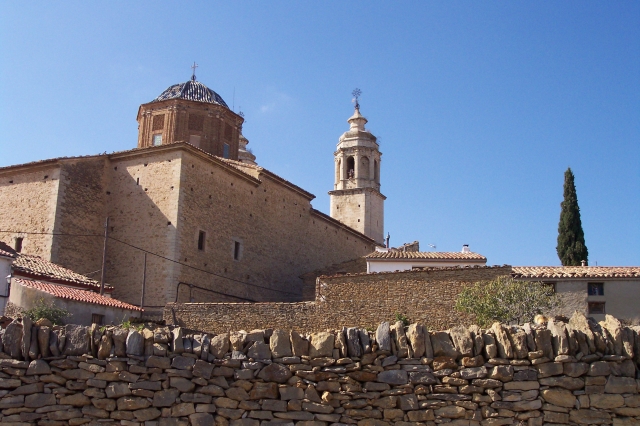
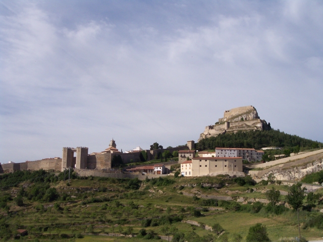
This interesting and well-rounded stage of the trail passes through extensive isolated areas, with a large amount of architectural, natural and scenic heritage, crossing the vast town of Morella. The first part of the trail has the Bergantes river basin as its main feature and the second part includes rural estates and the mola de Ares butte, testament to a decaying rural life.
Trail:
One way (point-to-point)
Main

GR 7 COMUNITAT VALENCIANA. FREDES - EL PINÓS/PINOSO
Promoter: Generalitat Valenciana
Certification status: See stages
Reference municipality: Pobla de Benifassà (La)
Length: 586,60 km
Estimated walking time: 180:35:00
Elevation gain: 17.635 m
Elevation loss: 18.585 m
(0)
Previos stage
GR 7 E26 VALLIBONA - MORELLA
Promoter: Generalitat Valenciana
Certification status: Positive quality control
Etapa número: 26
Reference municipality: Vallibona
Length: 16,80 km
Estimated walking time: 05:30:00
Elevation gain: 735 m
Elevation loss: 485 m
(0)
Next stage
GR 7 E28 ARES DEL MAESTRAT - CULLA
Promoter: Generalitat Valenciana
Certification status: Positive quality control
Etapa número: 28
Reference municipality: Ares del Maestrat
Length: 18,00 km
Estimated walking time: 05:45:00
Elevation gain: 550 m
Elevation loss: 670 m
(0)
Other trails connecting with this trail
SL-CV 89 MURALLES DE MORELLA
Promoter: Ayuntamiento de Morella
Certification status: No quality controls
Reference municipality: Morella
Length: 3,80 km
Estimated walking time: 01:20:00
Elevation gain: 205 m
Elevation loss: 205 m
(0)

PR-CV 116 MOLA DE LA GARUMBA (MORELLA - FORCALL)
Promoter: Ayuntamiento de Morella
Certification status: Positive quality control
Reference municipality: Morella
Length: 13,00 km
Estimated walking time: 03:10:00
Elevation gain: 255 m
Elevation loss: 540 m
(0)
PR-CV 119 COLL DE CANTERET (MORELLA - CINCTORRES)
Promoter: Ayuntamiento de Morella
Certification status: No quality controls
Reference municipality: Morella
Length: 7,70 km
Estimated walking time: 01:55:00
Elevation gain: 185 m
Elevation loss: 230 m
(0)
PR-CV 215 MORELLA - HERBESET
Promoter: Ayuntamiento de Morella
Certification status: Conditioned quality control
Reference municipality: Morella
Length: 12,30 km
Estimated walking time: 03:40:00
Elevation gain: 460 m
Elevation loss: 290 m
(0)

GR 331 E14 LA LLÈCUA - ARES DEL MAESTRAT
Promoter: Mancomunitat Comarcal Els Ports
Certification status: Valid
Etapa número: 14
Reference municipality: Morella
Length: 11,00 km
Estimated walking time: 03:50:00
Elevation gain: 300 m
Elevation loss: 170 m
(0)
GR 331 E15 ARES DEL MAESTRAT - VILAFRANCA
Promoter: Mancomunitat Comarcal Els Ports
Certification status: Valid
Etapa número: 15
Reference municipality: Ares del Maestrat
Length: 14,20 km
Estimated walking time: 04:15:00
Elevation gain: 250 m
Elevation loss: 320 m
(1)
GR 331 E08 XIVA DE MORELLA - MORELLA
Promoter: Mancomunitat Comarcal Els Ports
Certification status: Valid
Etapa número: 8
Reference municipality: Morella
Length: 6,90 km
Estimated walking time: 01:45:00
Elevation gain: 300 m
Elevation loss: 230 m
(0)
GR 331 E09 MORELLA - HERBESET
Promoter: Mancomunitat Comarcal Els Ports
Certification status: Valid
Etapa número: 9
Reference municipality: Morella
Length: 12,20 km
Estimated walking time: 03:00:00
Elevation gain: 550 m
Elevation loss: 370 m
(0)