
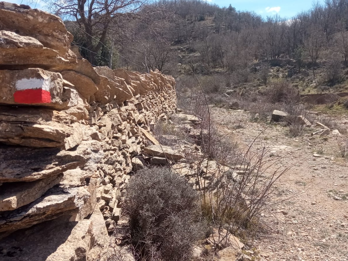
GR 331 E14 LA LLÈCUA - ARES DEL MAESTRAT
Promoter: Mancomunitat Comarcal Els Ports
Certification status: Valid
0 reviews
Trail:
One way (point-to-point)
Main

Reference municipality: Villafranca del Cid/Vilafranca
Length: 166,70 km
Estimated walking time: 52:55:00
Elevation gain: 4.870 m
Elevation loss: 4.870 m
(24)
Previos stage

GR 331 E13 VALLIVANA - LA LLÈCUA
Promoter: Mancomunitat Comarcal Els Ports
Certification status: Valid
Etapa número: 13
Reference municipality: Morella
Length: 15,10 km
Estimated walking time: 05:25:00
Elevation gain: 555 m
Elevation loss: 150 m
(0)
Next stage
GR 331 E15 ARES DEL MAESTRAT - VILAFRANCA
Promoter: Mancomunitat Comarcal Els Ports
Certification status: Valid
Etapa número: 15
Reference municipality: Ares del Maestrat
Length: 14,20 km
Estimated walking time: 04:15:00
Elevation gain: 250 m
Elevation loss: 320 m
(1)
Other trails connecting with this trail
GR 7 E27 MORELLA - ARES DEL MAESTRAT
Promoter: Generalitat Valenciana
Certification status: Positive quality control
Etapa número: 27
Reference municipality: Morella
Length: 24,20 km
Estimated walking time: 07:25:00
Elevation gain: 780 m
Elevation loss: 530 m
(0)

GR 7 COMUNITAT VALENCIANA. FREDES - EL PINÓS/PINOSO
Promoter: Generalitat Valenciana
Certification status: See stages
Reference municipality: Pobla de Benifassà (La)
Length: 586,60 km
Estimated walking time: 180:35:00
Elevation gain: 17.635 m
Elevation loss: 18.585 m
(0)
SL-CV 45 CAMÍ DELS MOLINS
Promoter: Ayuntamiento de Ares del Maestrat
Certification status: No quality controls
Reference municipality: Ares del Maestrat
Length: 5,70 km
Estimated walking time: 02:05:00
Elevation gain: 315 m
Elevation loss: 315 m
(0)
SL-CV 46 CAMÍ DE LA MOLA D´ARES
Promoter: Ayuntamiento de Ares del Maestrat
Certification status: No quality controls
Reference municipality: Ares del Maestrat
Length: 5,00 km
Estimated walking time: 01:35:00
Elevation gain: 160 m
Elevation loss: 160 m
(0)
PR-CV 387 CAMÍ DEL ROURE DE LES BERRUGUES
Promoter: Ayuntamiento de Ares del Maestrat
Certification status: No quality controls
Reference municipality: Ares del Maestrat
Length: 10,70 km
Estimated walking time: 03:10:00
Elevation gain: 155 m
Elevation loss: 360 m
(0)