
GR 7 E26 VALLIBONA - MORELLA
Promoter: Generalitat Valenciana
Certification status: Positive quality control
0 reviews
Attention. There is a very dangerous section of the N-232 that has yet to be upgraded. Please exercise extreme caution.
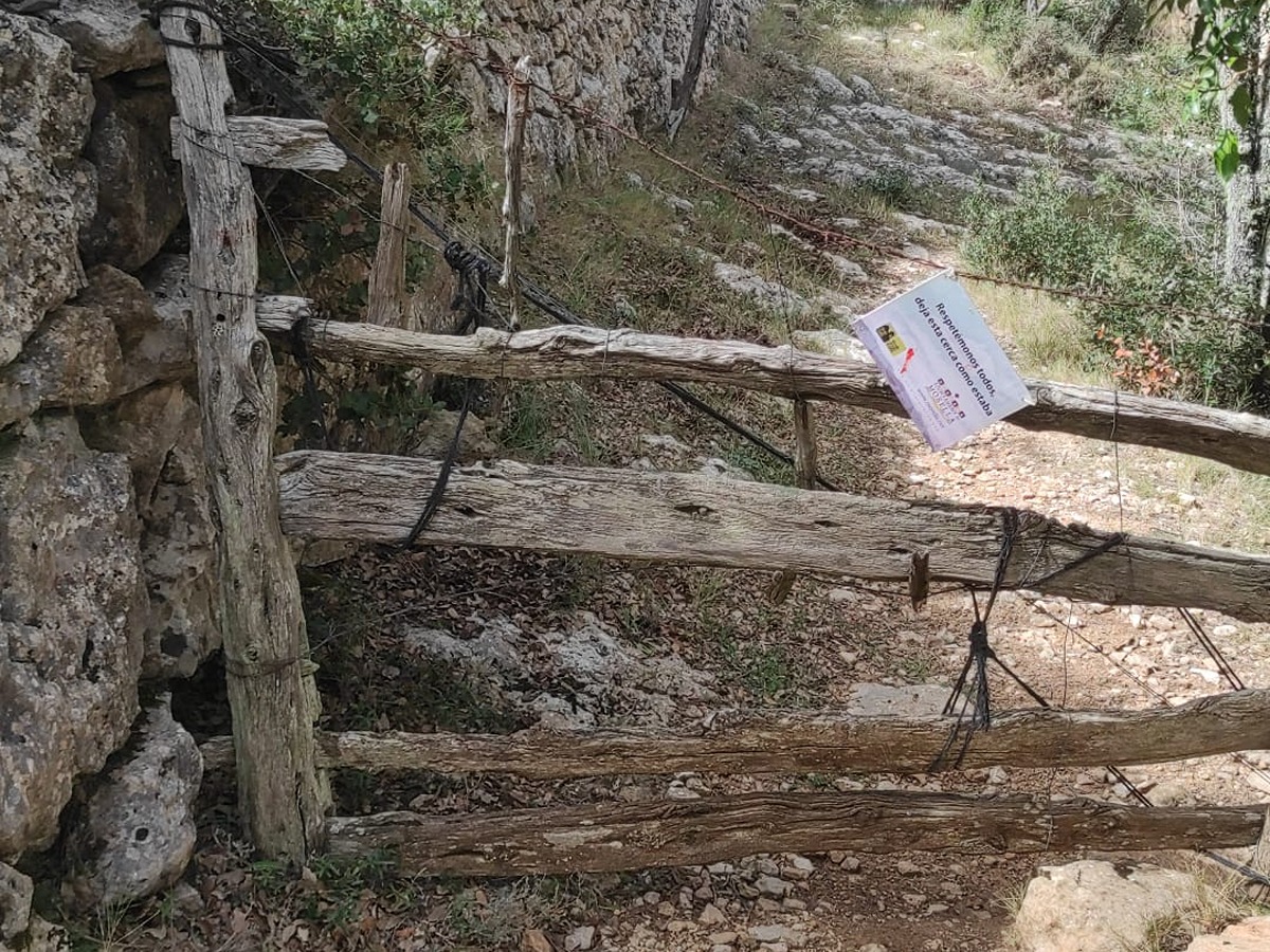
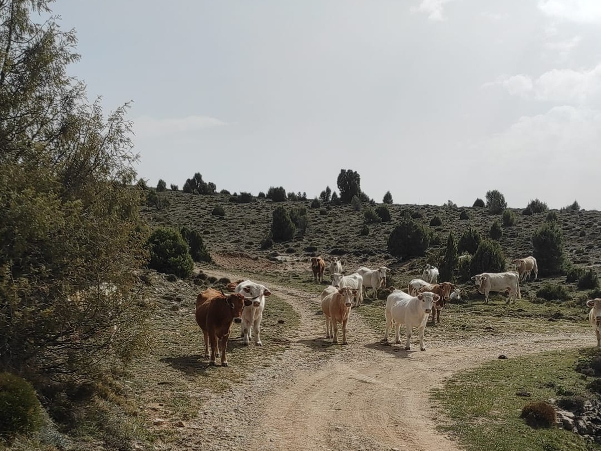
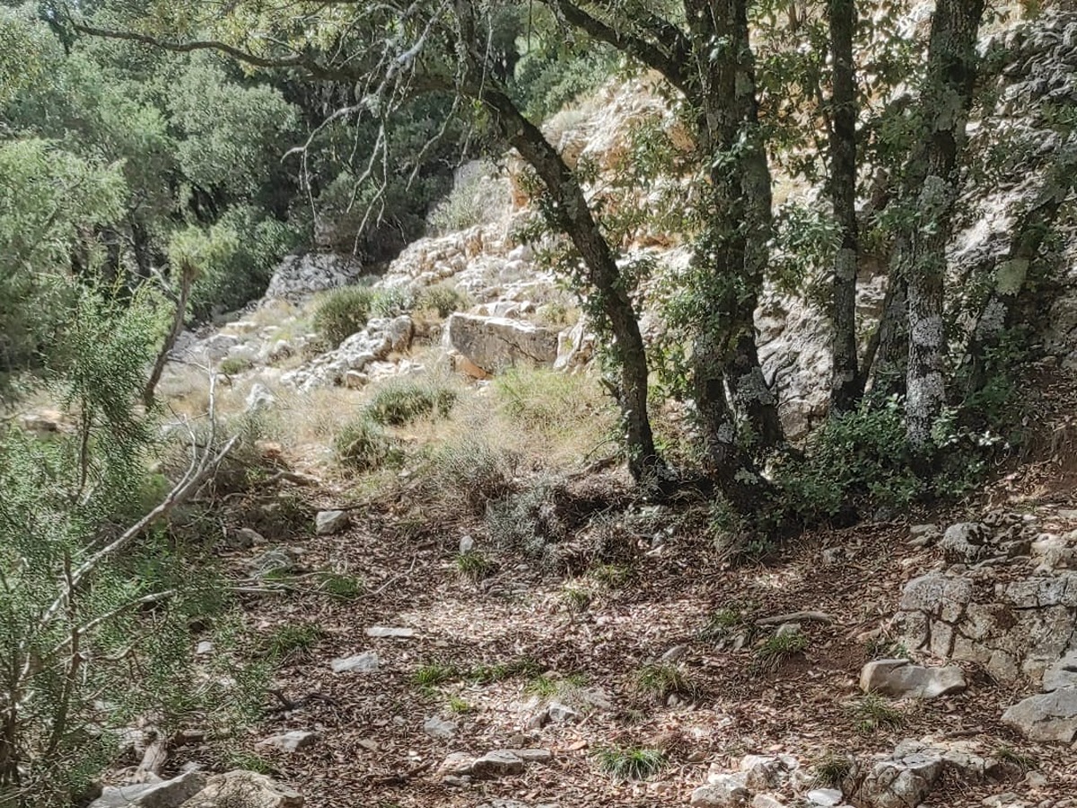
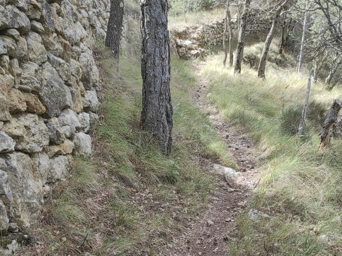
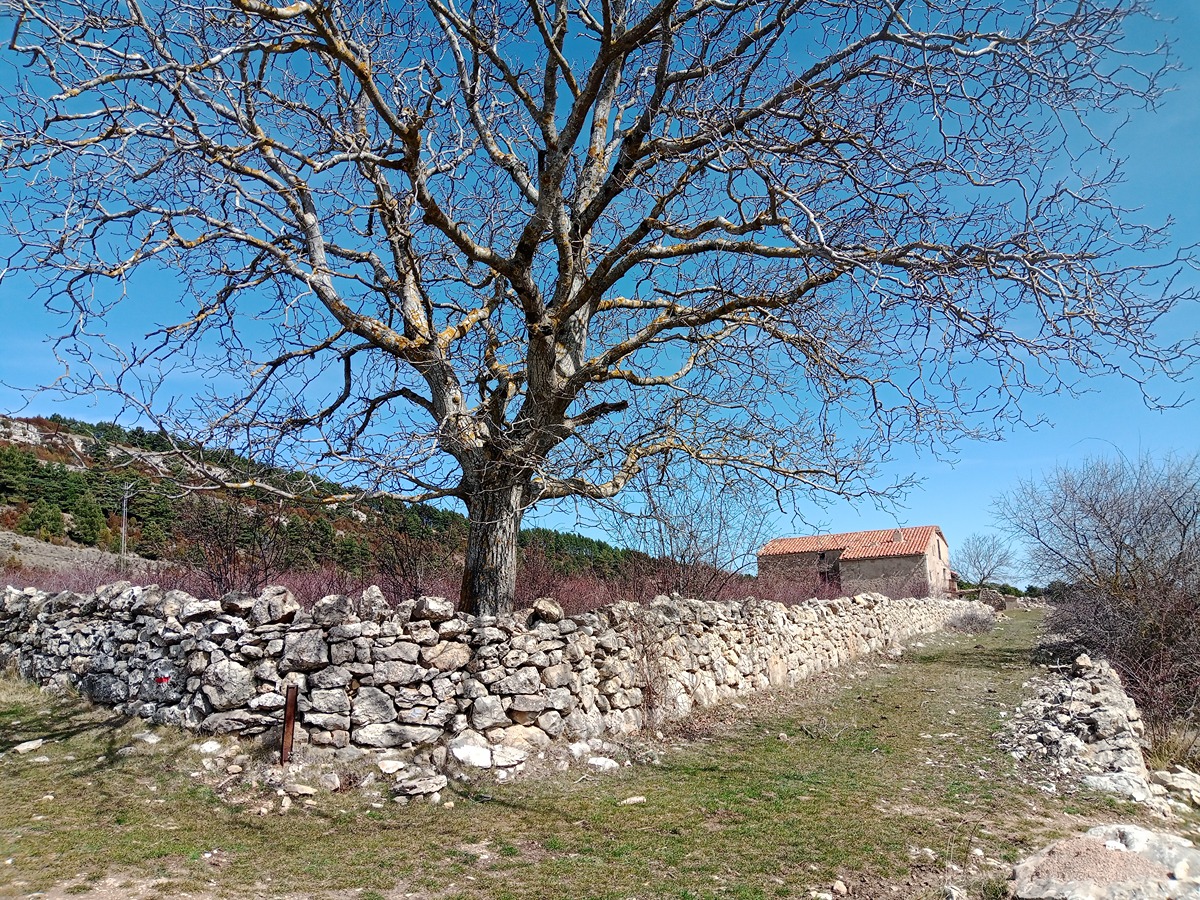
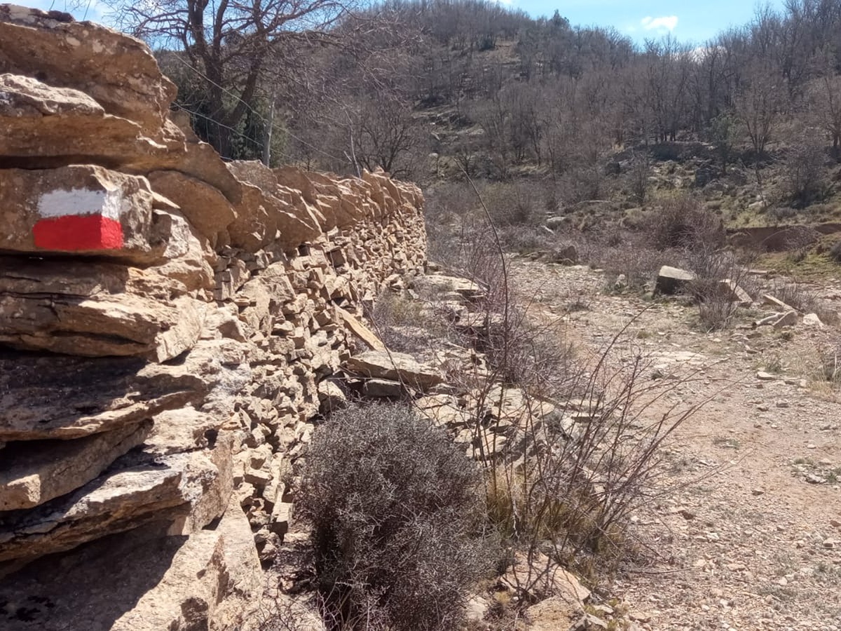
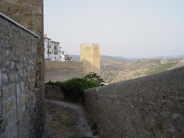
This stage of the trail connections the beautiful town of Vallibona with the spectacular Morella, and passes through places of extraordinary scenic, cultural and environmental interest. The first part of this route climbs up to the Tossal Gros mountain range, where there are numerous examples of popular rural architecture along a well-preserved path in an extraordinary environmental setting. The second part runs along the headwaters of the Bergantes river, the only river in the Comunitat Valenciana region that flows into the Ebro river with the breath-taking town of Morella as its backdrop.
Trail:
One way (point-to-point)
Main

GR 7 COMUNITAT VALENCIANA. FREDES - EL PINÓS/PINOSO
Promoter: Generalitat Valenciana
Certification status: See stages
Reference municipality: Pobla de Benifassà (La)
Length: 586,60 km
Estimated walking time: 180:35:00
Elevation gain: 17.635 m
Elevation loss: 18.585 m
(0)
Previos stage
GR 7 E25 FREDES - VALLIBONA
Promoter: Generalitat Valenciana
Certification status: Positive quality control
Etapa número: 25
Reference municipality: Pobla de Benifassà (La)
Length: 20,40 km
Estimated walking time: 06:40:00
Elevation gain: 570 m
Elevation loss: 985 m
(0)
Next stage
GR 7 E27 MORELLA - ARES DEL MAESTRAT
Promoter: Generalitat Valenciana
Certification status: Positive quality control
Etapa número: 27
Reference municipality: Morella
Length: 24,20 km
Estimated walking time: 07:25:00
Elevation gain: 780 m
Elevation loss: 530 m
(0)
Other trails connecting with this trail
SL-CV 89 MURALLES DE MORELLA
Promoter: Ayuntamiento de Morella
Certification status: No quality controls
Reference municipality: Morella
Length: 3,80 km
Estimated walking time: 01:20:00
Elevation gain: 205 m
Elevation loss: 205 m
(0)

GR 331 E11 CASTELL DE CABRES - VALLIBONA
Promoter: Mancomunitat Comarcal Els Ports
Certification status: Valid
Etapa número: 11
Reference municipality: Castell de Cabres
Length: 10,70 km
Estimated walking time: 03:10:00
Elevation gain: 70 m
Elevation loss: 515 m
(0)
GR 331 E12 VALLIBONA - VALLIVANA
Promoter: Mancomunitat Comarcal Els Ports
Certification status: Valid
Etapa número: 12
Reference municipality: Vallibona
Length: 11,50 km
Estimated walking time: 03:45:00
Elevation gain: 610 m
Elevation loss: 615 m
(0)
Reference municipality: Morella
Length: 72,30 km
Estimated walking time: 24:05:00
Elevation gain: 2.950 m
Elevation loss: 2.750 m
(0)
GR 331 E08 XIVA DE MORELLA - MORELLA
Promoter: Mancomunitat Comarcal Els Ports
Certification status: Valid
Etapa número: 8
Reference municipality: Morella
Length: 6,90 km
Estimated walking time: 01:45:00
Elevation gain: 300 m
Elevation loss: 230 m
(0)
GR 331 E09 MORELLA - HERBESET
Promoter: Mancomunitat Comarcal Els Ports
Certification status: Valid
Etapa número: 9
Reference municipality: Morella
Length: 12,20 km
Estimated walking time: 03:00:00
Elevation gain: 550 m
Elevation loss: 370 m
(0)