
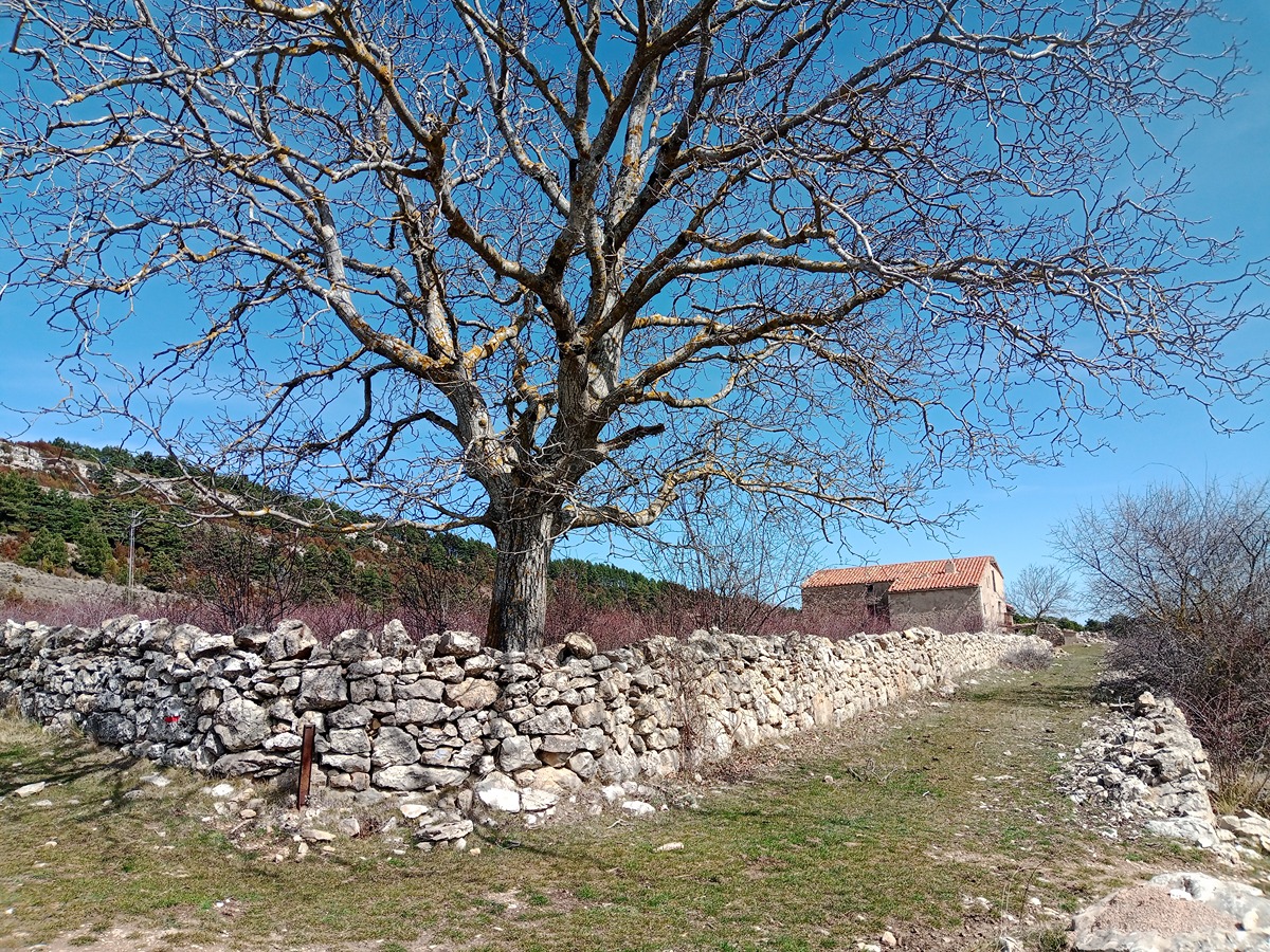
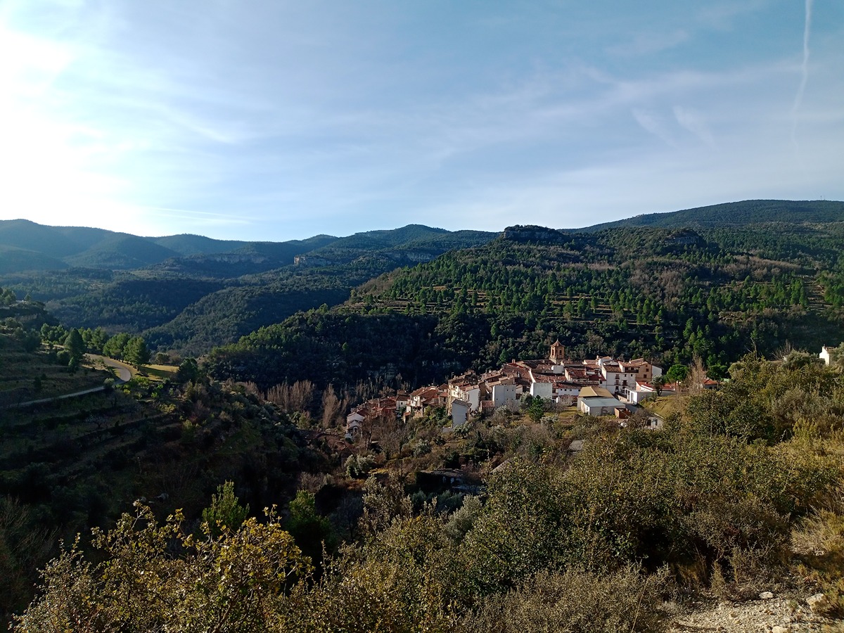
GR 7 E25 FREDES - VALLIBONA
Promoter: Generalitat Valenciana
Certification status: Positive quality control
0 reviews
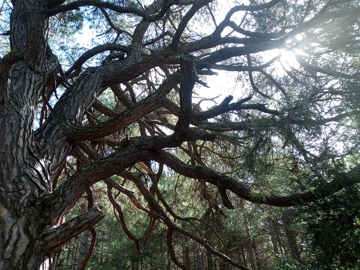
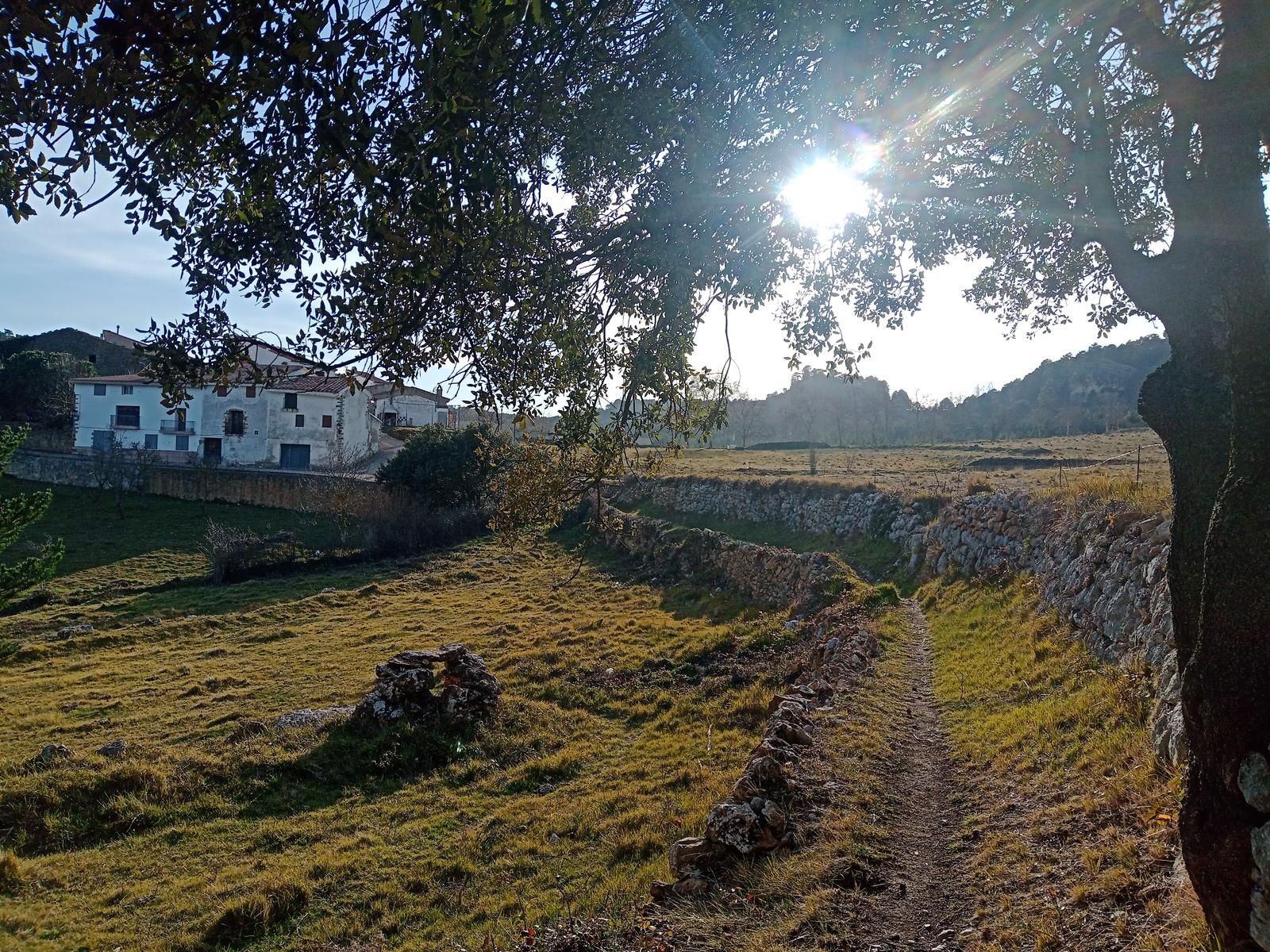
From the town of Fredes you head towards the villages of Boixar and Vallibona, a town in the Els Ports area within the province of Castelló. This route runs through holm oak and red pine forests. Certain stretches of the trail offer views of the Mediterranean coast and its typical vegetation, as well as the fauna of the area such as the short-toed eagle and the Iberian wild goat.
Trail:
One way (point-to-point)
Main

GR 7 COMUNITAT VALENCIANA. FREDES - EL PINÓS/PINOSO
Promoter: Generalitat Valenciana
Certification status: See stages
Reference municipality: Pobla de Benifassà (La)
Length: 586,60 km
Estimated walking time: 180:35:00
Elevation gain: 17.635 m
Elevation loss: 18.585 m
(0)
Previos stage
GR 7 E24 FRONTERA CV - FREDES
Promoter: Generalitat Valenciana
Certification status: Positive quality control
Etapa número: 24
Reference municipality: Pobla de Benifassà (La)
Length: 4,50 km
Estimated walking time: 01:35:00
Elevation gain: 140 m
Elevation loss: 300 m
(0)
Next stage
GR 7 E26 VALLIBONA - MORELLA
Promoter: Generalitat Valenciana
Certification status: Positive quality control
Etapa número: 26
Reference municipality: Vallibona
Length: 16,80 km
Estimated walking time: 05:30:00
Elevation gain: 735 m
Elevation loss: 485 m
(0)
Other trails connecting with this trail

PR-CV 75.1 FREDES - PANTÀ D'ULLDECONA (PEL PORTELL DEL INFERN)
Promoter: Centre Excursionista de Castelló
Certification status: Under review
Reference municipality: Pobla de Benifassà (La)
Length: 6,76 km
Estimated walking time: 04:10:00
Elevation gain: 695 m
Elevation loss: 415 m
(0)
PR-CV 75.2 FREDES - PANTÀ D'ULLDECONA (PEL BARRANC DEL SALT)
Promoter: Centre Excursionista de Castelló
Certification status: Under review
Reference municipality: Pobla de Benifassà (La)
Estimated walking time: 02:30:00
(0)
PR-CV 75.6 FREDES - LA POBLA DE BENIFASSÀ
Promoter: Centre Excursionista de Castelló
Certification status: Under review
Reference municipality: Pobla de Benifassà (La)
Length: 7,20 km
Estimated walking time: 02:20:00
(0)
PR-CV 75.7 FREDES - EL BALLESTAR
Promoter: Centre Excursionista de Castelló
Certification status: Under review
Reference municipality: Pobla de Benifassà (La)
Length: 7,70 km
Estimated walking time: 02:30:00
(0)
PR-CV 75.12 EL BOIXAR - FREDES (PEL TOSSAL GROS)
Promoter: Centre Excursionista de Castelló
Certification status: Under review
Reference municipality: Pobla de Benifassà (La)
Length: 11,50 km
Estimated walking time: 03:30:00
(0)
GR 331 E11 CASTELL DE CABRES - VALLIBONA
Promoter: Mancomunitat Comarcal Els Ports
Certification status: Valid
Etapa número: 11
Reference municipality: Castell de Cabres
Length: 10,70 km
Estimated walking time: 03:10:00
Elevation gain: 70 m
Elevation loss: 515 m
(0)
GR 331 E12 VALLIBONA - VALLIVANA
Promoter: Mancomunitat Comarcal Els Ports
Certification status: Valid
Etapa número: 12
Reference municipality: Vallibona
Length: 11,50 km
Estimated walking time: 03:45:00
Elevation gain: 610 m
Elevation loss: 615 m
(0)