
GR 7 E24 FRONTERA CV - FREDES
Promoter: Generalitat Valenciana
Certification status: Positive quality control
0 reviews
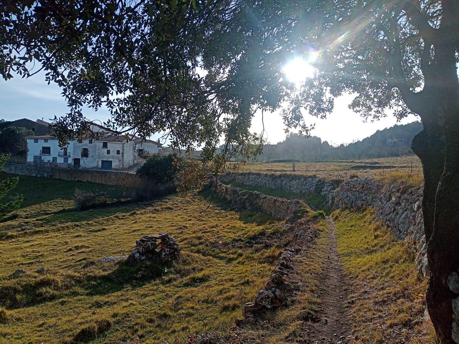
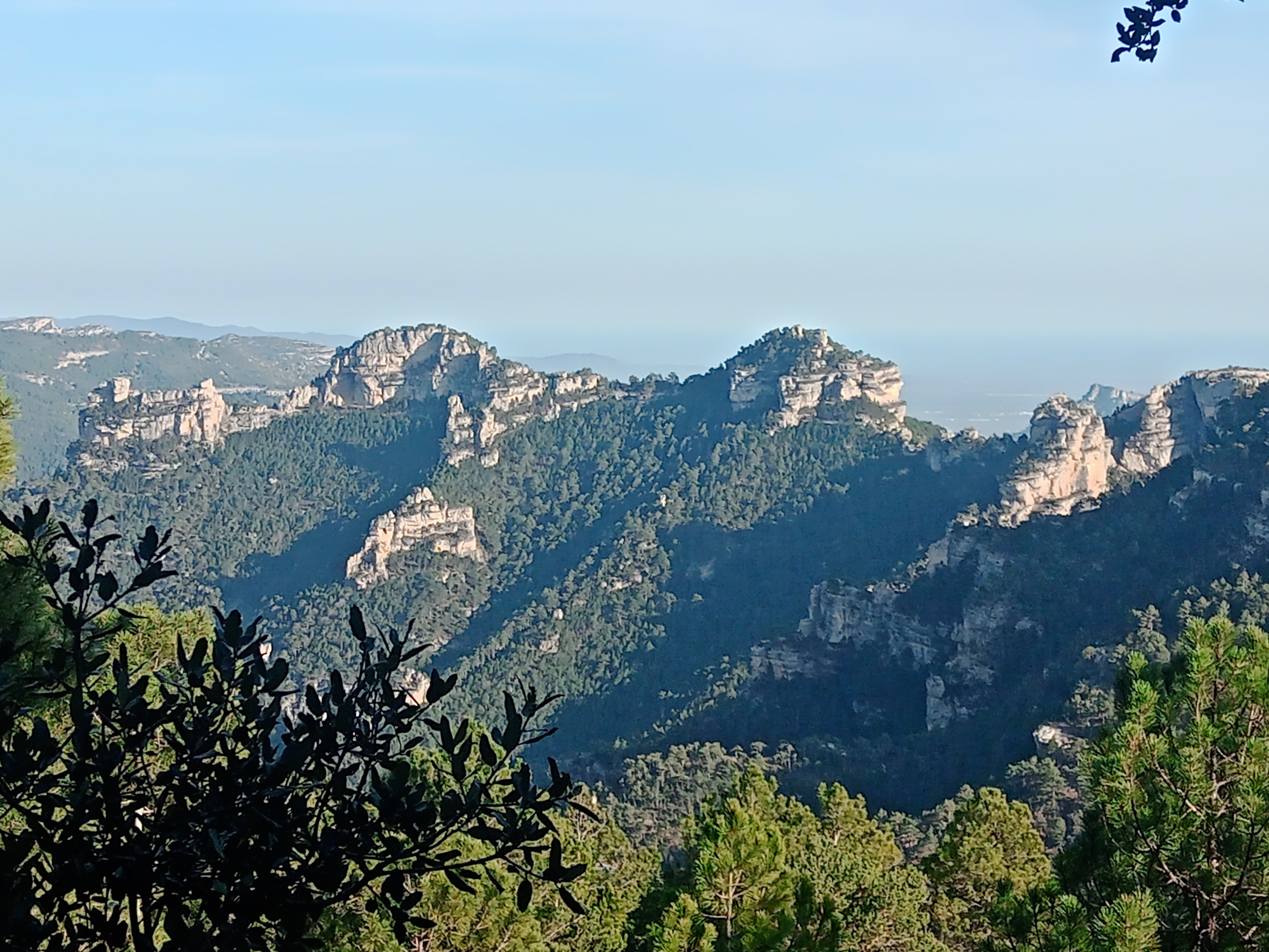
The GR 7 trail enters the province of Castellón through the Manado col and heads towards the town of Fredes, which belongs to the locality of Pobla de Benifassà. Red pines, mountain pines and large holm oaks can be seen along this route. The most remarkable aspect about the GR 7 trail are the incredible views over the Catalan coast, the nature reserve of Els Ports and even the Ebro delta.
Trail:
One way (point-to-point)
Main

GR 7 COMUNITAT VALENCIANA. FREDES - EL PINÓS/PINOSO
Promoter: Generalitat Valenciana
Certification status: See stages
Reference municipality: Pobla de Benifassà (La)
Length: 586,60 km
Estimated walking time: 180:35:00
Elevation gain: 17.635 m
Elevation loss: 18.585 m
(0)
Next stage
GR 7 E25 FREDES - VALLIBONA
Promoter: Generalitat Valenciana
Certification status: Positive quality control
Etapa número: 25
Reference municipality: Pobla de Benifassà (La)
Length: 20,40 km
Estimated walking time: 06:40:00
Elevation gain: 570 m
Elevation loss: 985 m
(0)
Other trails connecting with this trail

PR-CV 75.12 EL BOIXAR - FREDES (PEL TOSSAL GROS)
Promoter: Centre Excursionista de Castelló
Certification status: Under review
Reference municipality: Pobla de Benifassà (La)
Length: 11,50 km
Estimated walking time: 03:30:00
(0)
PR-CV 75.1 FREDES - PANTÀ D'ULLDECONA (PEL PORTELL DEL INFERN)
Promoter: Centre Excursionista de Castelló
Certification status: Under review
Reference municipality: Pobla de Benifassà (La)
Length: 6,76 km
Estimated walking time: 04:10:00
Elevation gain: 695 m
Elevation loss: 415 m
(0)
PR-CV 75.2 FREDES - PANTÀ D'ULLDECONA (PEL BARRANC DEL SALT)
Promoter: Centre Excursionista de Castelló
Certification status: Under review
Reference municipality: Pobla de Benifassà (La)
Estimated walking time: 02:30:00
(0)
