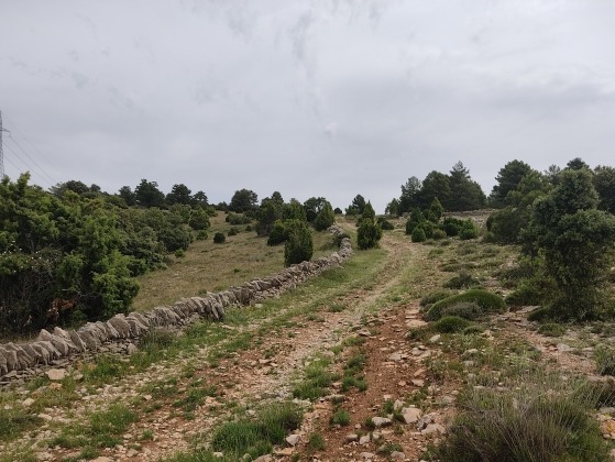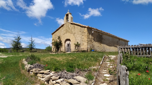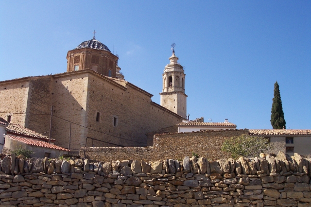
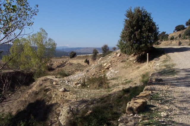
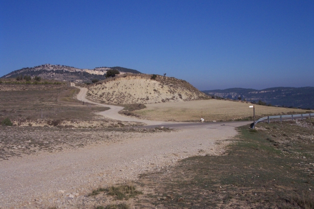
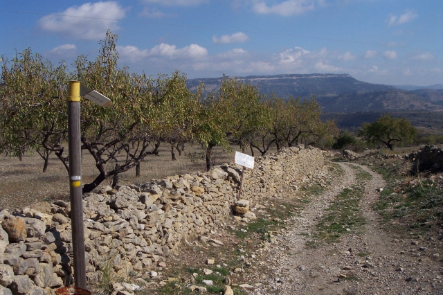
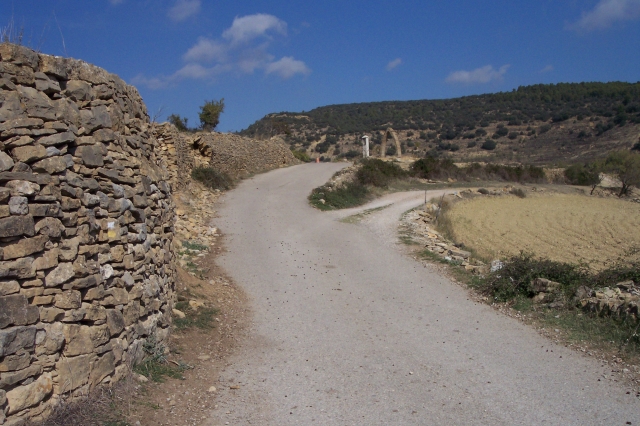
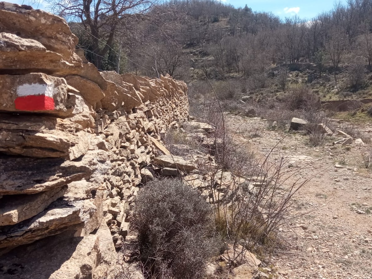
PR-CV 119 COLL DE CANTERET (MORELLA - CINCTORRES)
Promoter: Ayuntamiento de Morella
Certification status: No quality controls
There is no proof of quality control on the record of this trail in the last years. For this reason, it is unknown whether it complies with the optimal signage and maintenance conditions for hikers to take the trail following these signs exclusively.
Hikers have to take into consideration that the information about the signage and maintenance of the trails for which the promoter entity is responsible might not be up to date anymore, since it refers to its state on the date of its approval. Furthermore, mountain sports entail risks associated with the activity itself and the environment where they take place, for which any person is fully liable. For this reason, hikes need to be planned properly and adequate training, equipment and sensible use of the trails are required.
Other trails connecting with this trail

GR 7 E27 MORELLA - ARES DEL MAESTRAT
Promoter: Generalitat Valenciana
Certification status: Positive quality control
Etapa número: 27
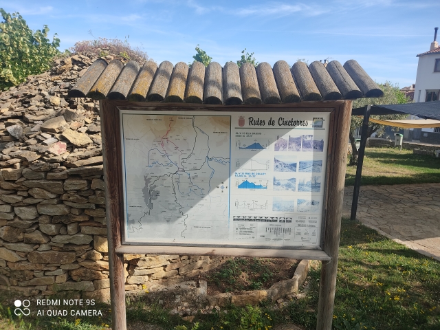
SL-CV 33 CINCTORRES - ELS BASSIS - CINCTORRES
Promoter: Ayuntamiento de Cinctorres
Certification status: Positive quality control