
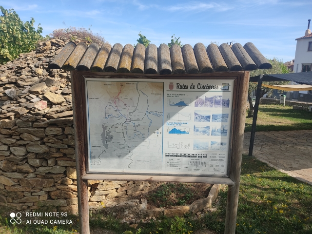
SL-CV 35 CINCTORRES - MAS DEL COLLET - CINCTORRES
Promoter: Ayuntamiento de Cinctorres
Certification status: Positive quality control
0 reviews
Trail:
Loop
Other trails connecting with this trail
SL-CV 33 CINCTORRES - ELS BASSIS - CINCTORRES
Promoter: Ayuntamiento de Cinctorres
Certification status: Positive quality control
Reference municipality: Cinctorres
Length: 8,40 km
Estimated walking time: 02:50:00
Elevation gain: 260 m
Elevation loss: 260 m
(0)
SL-CV 34 CINCTORRES - PORTELL DE MORELLA
Promoter: Ayuntamiento de Cinctorres
Certification status: Negative quality control
Reference municipality: Cinctorres
Length: 7,50 km
Estimated walking time: 02:30:00
Elevation gain: 345 m
Elevation loss: 180 m
(0)
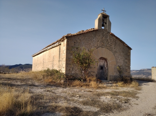
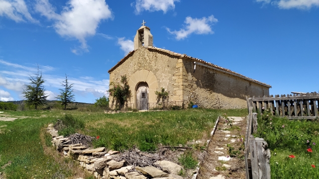
SL-CV 36 CINCTORRES - ERMITA DE SANT PERE - CINCTORRES
Promoter: Ayuntamiento de Cinctorres
Certification status: Positive quality control
Reference municipality: Cinctorres
Length: 10,60 km
Estimated walking time: 03:20:00
Elevation gain: 430 m
Elevation loss: 430 m
(0)
PR-CV 118 CINCTORRES - SANT CRISTÒFOL
Promoter: Ayuntamiento de Morella
Certification status: No quality controls
Reference municipality: Cinctorres
Length: 5,87 km
Estimated walking time: 02:20:00
Elevation gain: 300 m
Elevation loss: 330 m
(0)
PR-CV 119 COLL DE CANTERET (MORELLA - CINCTORRES)
Promoter: Ayuntamiento de Morella
Certification status: No quality controls
Reference municipality: Morella
Length: 7,70 km
Estimated walking time: 01:55:00
Elevation gain: 185 m
Elevation loss: 230 m
(0)