Cambiar idioma a español / Cambiar idioma a english / Cambiar idioma a valencià

Rate this trail

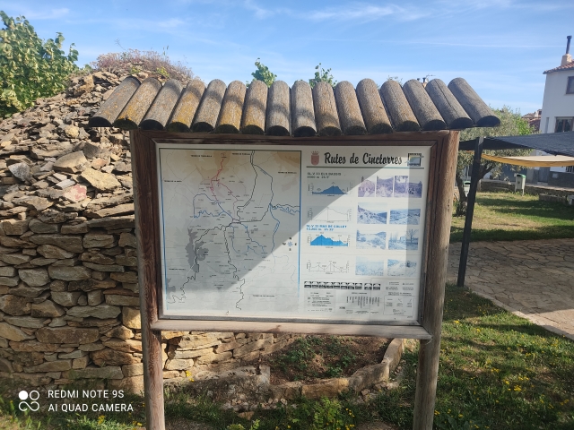
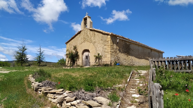
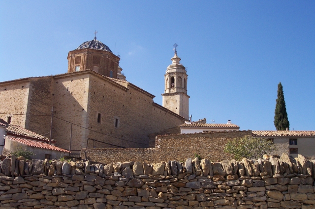
SL-CV 36 CINCTORRES - ERMITA DE SANT PERE - CINCTORRES

Promoter: Ayuntamiento de Cinctorres

Certification status: No quality controls

0 reviews

There is no proof of quality control on the record of this trail in the last years. For this reason, it is unknown whether it complies with the optimal signage and maintenance conditions for hikers to take the trail following these signs exclusively.
Hikers have to take into consideration that the information about the signage and maintenance of the trails for which the promoter entity is responsible might not be up to date anymore, since it refers to its state on the date of its approval. Furthermore, mountain sports entail risks associated with the activity itself and the environment where they take place, for which any person is fully liable. For this reason, hikes need to be planned properly and adequate training, equipment and sensible use of the trails are required.

Trail:
Loop
Technical data:
Length:
10,60 km
Estimated walking time:
03:20:00
Elevation gain:
430 m
Elevation loss:
430 m
MIDE ratings:
Level of natural risks:
2
Navigation on the trail:
2
Hiking difficulty:
2
Fitness level needed:
3

More information at Montaña Segura

Difficulty rating according to FEDME:
Unknown
Useful information:
Date of certification:
15-11-2000
Date of the act of registration in the Public Register:
22-05-2007
Date of the last Quality Control:
october de 2020
Reference municipality:
District:
Province:
Castellón/Castelló
Cartography IGN MTN25:
0544-2; 0544-4

You can download them from the IGN Map Library Catalog

See other trails of this promoter:
Protected Natural Spaces:

It is recommended to consult the regulations and/or authorizations for the use of trails in these protected natural areas on the website of the Regional Ministry of Environment, Water, Infrastructure, and Territory

  • L'Alt Maestrat (SIC - Site of Community Interest)
  • L'Alt Maestrat, Tinença de Benifassà, Turmell i Vallibana (SPAB - Special Protection Area for Birds)
Weather information:
Nearest AVAMET weather station
Key points of the route:

El Pilar - Els Terrers del Mas Nou (place) - Solà de Sant Pere (place)

Route description (only available in Spanish)

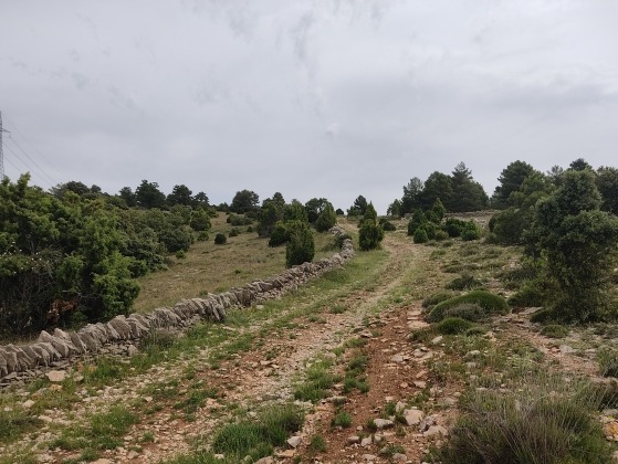
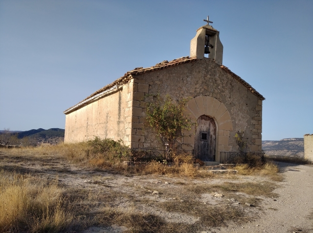
Salimos de la zona deportiva en C/ Sant Lluís, dirección al centro del casco urbano por esta calle. Al llegar a la Pza Maestro Giner, cogemos C/ El Pilar (rumbo O) para llegar al cruce de las carreteras CV-124 y CV-125. Continuamos por CV-124 Forcall durante 100m aprox. Aquí nos desviamos a nuestra izquierda (rumbo SO) por la pista cementada que nos lleva a la ermita de El pilar.En a la ermita continuamos rectos (rumbo SO) por la pista cementada, quedando la ermita a nuestra izquierda. Esta pista va junto al Barranc de La Vila.Desembocamos en carretera CV-124. En 25 m aprox temamos a nuestra izquierda una senda que discurre tras los guardarailes de la carreteras. Continuamos por esta senda hasta salir otra a carretera CV-124. Aquí tenemos que cruzar la carretera, prácticamente enfrente continua el sendero. Volvemos a salir otra vez a carretera CV-124, caminados por la carretera unos 100 m aprox hasta pasar el collado de Els Collados. Tomamos una senda a nuestra izquierda (rumbo SE) para empezar a descender junto al Barranc dels Collados. La senda acaba convirtiéndose en una pista, y posteriormente enlazamos con el PR-CV 308. A partir de aquí vamos ascendiendo, primero por pista para luego convertirse en senda, para dirigirnos a Mas Nou.Pasamos por delante de la misma puerta de acceso a Mas Nou. Cogemos la senda que sale sobre la pista (rumbo NE al principio para luego ir tomando rumbo N), es el Assagador del Mas Nou que nos lleva a la ermita de Sant Pere Una vez superada la ermita llegaremos a un cruce donde continuaremos por la pista de tierra de nuestra derecha (rumbo NE) para dirigirnos al Mas de Gassulla. Veremos el Mas de Gassulla, pero no llegamos hasta el, sino que continuaremos bajando hasta llegar la Barranc de la Vila. Cruzamos el barranco para comenzar a subir, y pasamos junto a una granja. Salimos a la pista de tierra del Camì Vell de Morella, que tomaremos a nuestra izquierda (rumbo O) para llegar a Cinctorres, y entramos por C/ Sant Joaquim.

Downloads:

Beware! Navigation devices may fail, batteries may run out of power and devices may break down. Do not use only electronic means to track your activities in the mountains; they must be used as a complement to the map and compass. Get some proper training and enjoy the mountains.

Other trails connecting with this trail