
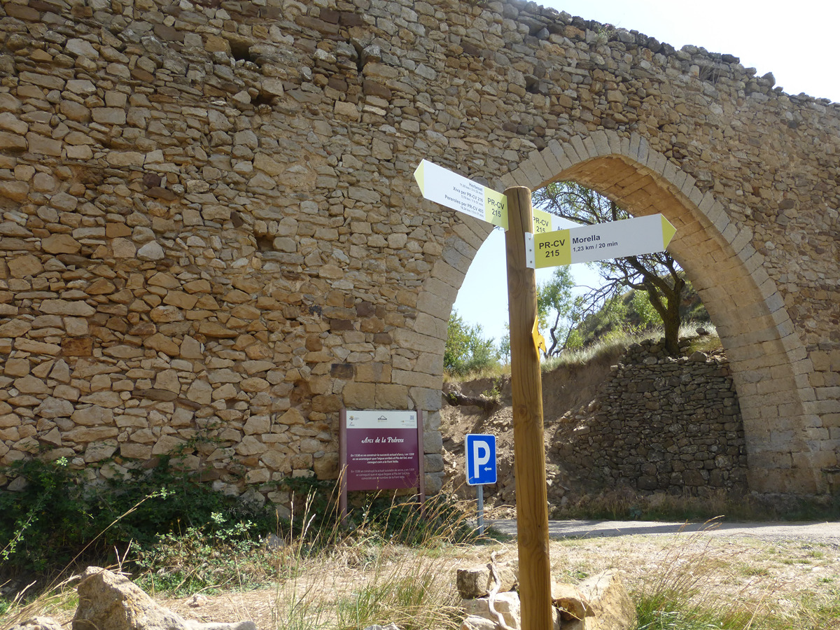
PR-CV 215 MORELLA - HERBESET
Promoter: Ayuntamiento de Morella
Certification status: Conditioned quality control
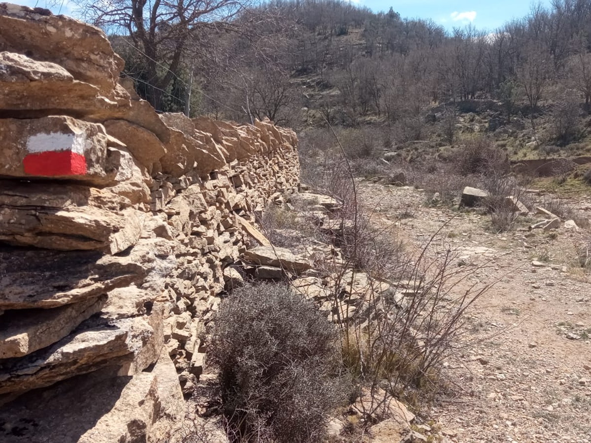
Following the inspection carried out by trail technicians, this trail has been declared of "limited adequacy" as a result of the faults detected in the signage. These include inadequate horizontal signs (paint markers) and/or vertical ones (trailheads and information boards) or lacking direction markers that do not provide sufficient information to properly follow the route. The builder of this trail has been informed of the situation.
For safety reasons and during maintenance work, it is advised to be extremely careful while taking this route. Furthermore, mountain sports entail risks associated with the activity itself and the environment where they take place, for which any person is fully liable. For this reason, hikes need to be planned properly and adequate training, equipment and sensible use of the trails are required.
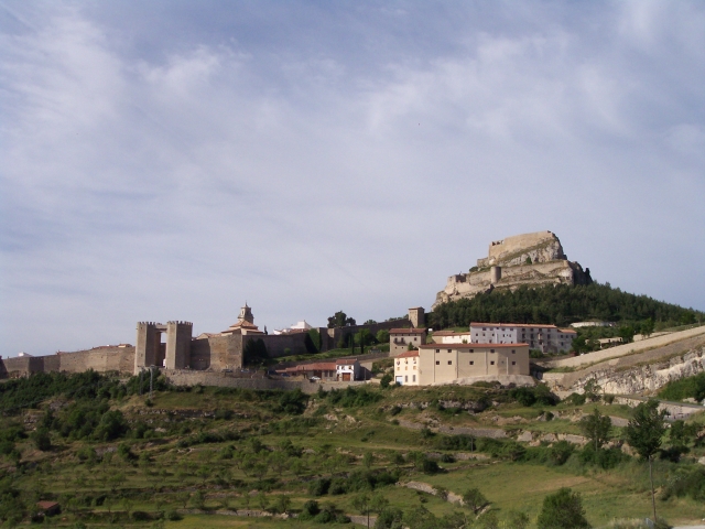
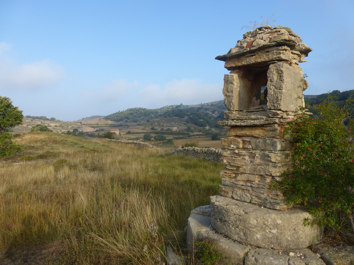
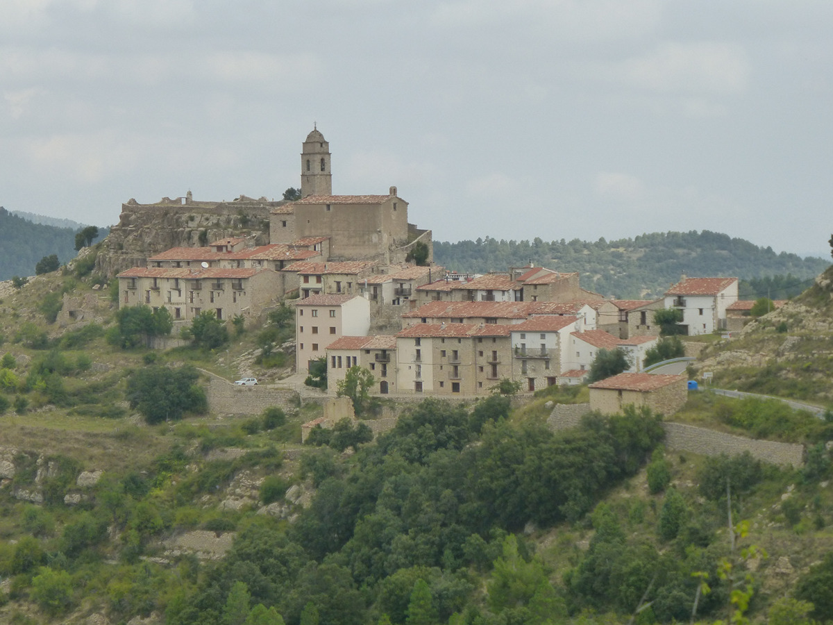
A trail full of attractions that starts from the monumental Morella, passes by the chapel of Santa Llúcia (said to be the first leprosarium in Comunitat Valenciana) and then immediately leads to the two sections of the aqueduct from the 12th-14th centuries that still have their stone-pitted channels. It continues through isolated rugged terrain to the beautiful district of Herbeset, crossing beautiful stretches of path between stone walls and wayside crosses.
Other trails connecting with this trail
GR 7 E27 MORELLA - ARES DEL MAESTRAT
Promoter: Generalitat Valenciana
Certification status: Positive quality control
Etapa número: 27
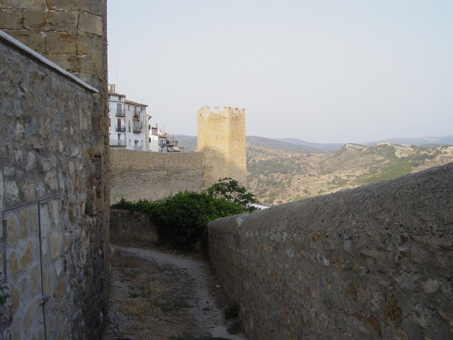
SL-CV 89 MURALLES DE MORELLA
Promoter: Ayuntamiento de Morella
Certification status: No quality controls

PR-CV 216 MAS DEL POU - XIVA
Promoter: Societat Esportiva Espemo
Certification status: Negative quality control
GR 331 E08 XIVA DE MORELLA - MORELLA
Promoter: Mancomunitat Comarcal Els Ports
Certification status: Valid
Etapa número: 8
GR 331 E09 MORELLA - HERBESET
Promoter: Mancomunitat Comarcal Els Ports
Certification status: Valid
Etapa número: 9
GR 331 E10 HERBESET - CASTELL DE CABRES
Promoter: Mancomunitat Comarcal Els Ports
Certification status: Valid
Etapa número: 10