
GR 331 E10 HERBESET - CASTELL DE CABRES
Promoter: Mancomunitat Comarcal Els Ports
Certification status: Valid
0 reviews
Trail:
One way (point-to-point)
Main

Reference municipality: Villafranca del Cid/Vilafranca
Length: 166,70 km
Estimated walking time: 52:55:00
Elevation gain: 4.870 m
Elevation loss: 4.870 m
(24)
Previos stage

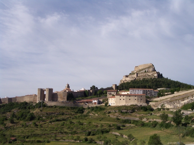
GR 331 E09 MORELLA - HERBESET
Promoter: Mancomunitat Comarcal Els Ports
Certification status: Valid
Etapa número: 9
Reference municipality: Morella
Length: 12,20 km
Estimated walking time: 03:00:00
Elevation gain: 550 m
Elevation loss: 370 m
(0)
Next stage
GR 331 E11 CASTELL DE CABRES - VALLIBONA
Promoter: Mancomunitat Comarcal Els Ports
Certification status: Valid
Etapa número: 11
Reference municipality: Castell de Cabres
Length: 10,70 km
Estimated walking time: 03:10:00
Elevation gain: 70 m
Elevation loss: 515 m
(0)
Other trails connecting with this trail
PR-CV 215 MORELLA - HERBESET
Promoter: Ayuntamiento de Morella
Certification status: Conditioned quality control
Reference municipality: Morella
Length: 12,30 km
Estimated walking time: 03:40:00
Elevation gain: 460 m
Elevation loss: 290 m
(0)